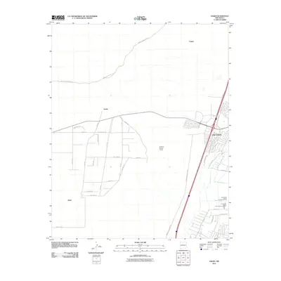
2010 Map of Dalies
USGS Topo · Published 2010About this map
The settlement of Dalies sits at a major western railroad junction within the Rio Grande Valley, serving as a focal point for the surrounding high desert terrain. This 2010 survey illustrates the structured expansion of the area near Los Lunas, where modern residential subdivisions like Rancho Valencia meet established agricultural and institutional lands. The landscape is defined by its water management systems, including the New Belen Ditch and Gabaldon Lateral, which support the arid environment. To the east, the Central New Mexico Correctional Facility and its associated Correctional Honor Farm occupy a significant portion of the valley floor. Transportation is anchored by historic routes such as Indian Service Route 610 and Indian Service Route 621, which traverse the open plains between Sandia and the rising ground of El Cerro De Los Lunas.
Find a feature on this map
38 named features on this map. Tap any name to fly to it.
Don’t see what you’re looking for? This feature index may not catch every label — zoom into the map to look around manually.
Map Details
Editions of this 2010 Dalies Map
This is the sole edition of this map. No revisions or reprints were ever made.
Other maps of this area

1952 · Wind Mesa
USGS Topo · 1:24,000

1952 · Dalies
USGS Topo · 1:24,000

1952 · Belen
USGS Topo · 1:24,000

1952 · Belen NW
USGS Topo · 1:24,000

1952 · Rio Puerco
USGS Topo · 1:24,000

1952 · Tome
USGS Topo · 1:24,000

1952 · Los Lunas
USGS Topo · 1:24,000

1952 · Isleta
USGS Topo · 1:24,000

1952 · Dalies NW
USGS Topo · 1:24,000

1954 · Socorro
USGS Topo · 1:250,000