Old Maps of Rio Puerco, New Mexico for Hiking & Exploration
Hike through history with 11 historic maps of Rio Puerco. Explore old trails, ghost towns, and forgotten backroads — perfect for outdoor adventurers and local explorers.
- Rediscover forgotten places: Map out old mining camps, roads, and footpaths that no longer exist on modern maps.
- Layer with modern tools: Combine with LiDAR or satellite views to plan hikes through historical terrain.
- Made for exploration: Popular among hikers, overlanders, and local history lovers.
Use these maps to find adventure and explore the hidden past of Rio Puerco.
Rio Puerco, NM maps
(11)- 1952 Map of Rio Puerco, 1953 Print
 1952 Rio Puerco1953 Print · USGSSpanish land grants still shaped the landscape of central New Mexico during the early fifties. Genealogists and historians can trace property lines through the San Clemente Grant and locate the small riverside stop of Rio Puerco near the Atchison Topeka and Santa Fe railroad.2 unique versions available
 - 1954 Map of Socorro, 1972 Print
 1954 Socorro1972 Print · USGSMid-century New Mexico comes into focus as the Rio Grande valley and the surrounding high desert undergo post-war growth. Genealogists and historians can trace old mountain settlements like Tajique and Punta de Agua or locate remote sites like the Torrance Mine.2 unique versions available
 - 1958 Map of Socorro
 1958 Socorro1958 Print · USGSNew Mexico's high desert during the late fifties reveals a landscape of massive land grants and remote mining outposts. Researchers can trace the path of the Atchison Topeka and Santa Fe railroad as it connects Socorro and Belen to industrial sites like the Manganese Mill.
 - 1962 Map of Socorro
 1962 Socorro1962 Print · USGSCentral New Mexico comes alive in the early sixties as the rail-and-river corridor of the Rio Grande connects historic pueblos and ranching towns. Local historians can trace the route of the Atchison Topeka and Santa Fe through Belen or locate the Torrance Mine near Mountainair.
 - 1979 Map of Belen
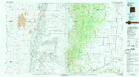 1979 Belen1979 Print · USGSThe Rio Grande Valley south of Albuquerque in the late seventies reveals a landscape of historic land grants and modern subdivisions. Trace the rail-and-river corridor through Belen and Isleta Pueblo, or find high-elevation landmarks in Cibola National Forest.2 unique versions available
 - 1991 Map of Rio Puerco, 1996 Print
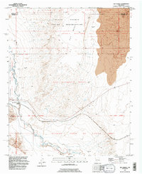 1991 Rio Puerco1996 Print · USGSThe high desert along the Rio Puerco reveals a landscape of massive historical land grants in the early nineties. Researchers can trace the overlapping boundaries of the San Clemente Grant and Pueblo of Isleta Grant near Hidden Mountain.
 - 2010 Map of Rio Puerco, 2010 Print
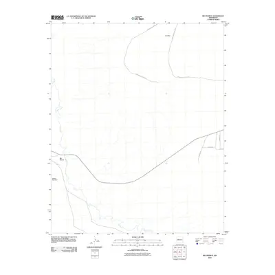 2010 Rio Puerco2010 Print · USGSThe Rio Puerco valley in Valencia County remains a landscape defined by its seasonal waterways and high-desert mesas in the early 2000s. Genealogists and local researchers can trace the roads around Rio Puerco, including Quintana Rd and the routes near Hidden Mountain.
 - 2013 Map of Rio Puerco, 2013 Print
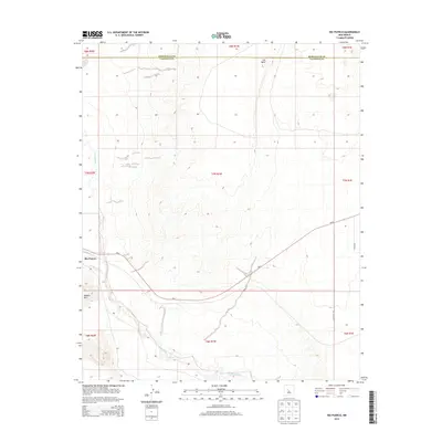 2013 Rio Puerco2013 Print · USGSValencia County at the turn of the decade is captured here in a transition from river valley to desert mesa. Trace the rugged terrain from Hidden Mtn to the expansive Cat Mesa, or follow the path of NM-6 through the heart of the Rio Puerco region.
 - 2017 Map of Rio Puerco, 2017 Print
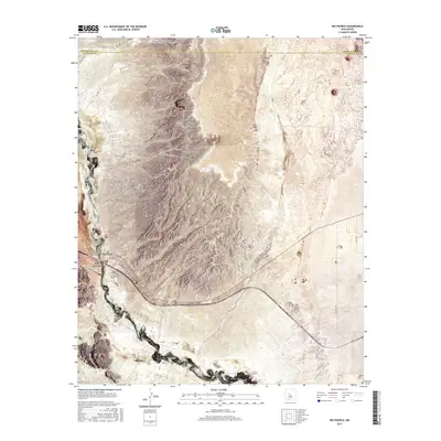 2017 Rio Puerco2017 Print · USGSThe high-desert terrain of Valencia County is captured in this recent survey of the lands surrounding the Rio Puerco river. Trace the remote road networks of Indian Svc Rte 610 and identify prominent landmarks like Hidden Mtn and Cat Mesa.
 - 2020 Map of Rio Puerco, 2020 Print
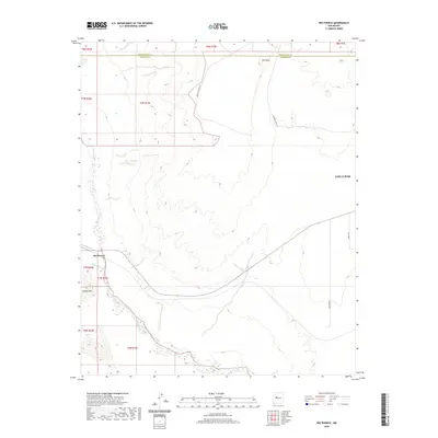 2020 Rio Puerco2020 Print · USGSThe high desert west of the Rio Grande comes into focus in this contemporary survey of the Valencia County plateau. Researchers can trace the winding course of the Rio Puerco and identify landmarks like Cat Mesa, Hidden Mtn, and Indian Svc Rte 610.
 - 2023 Map of Rio Puerco, 2023 Print
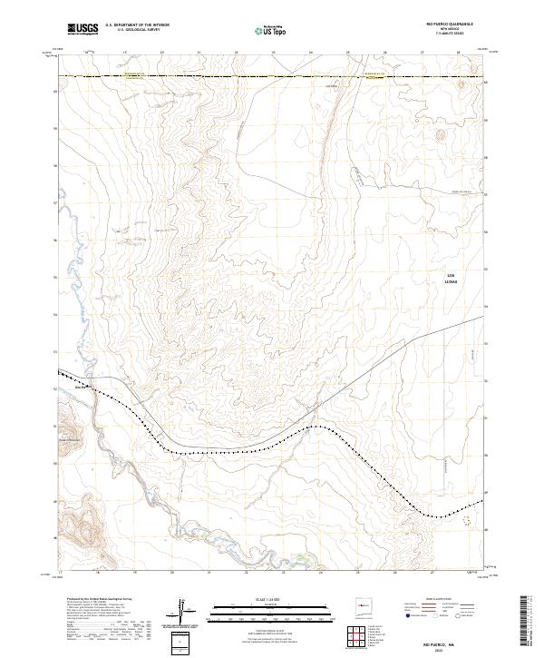 2023 Rio Puerco2023 Print · USGSThe high desert of Valencia County comes into focus in this contemporary survey of the Rio Puerco valley. Landowners and researchers can trace the modern boundaries of Los Lunas and topographical landmarks like Cat Mesa and Hidden Mountain.
End of results
Showing maps 1-11 of 11
Top cities near Rio Puerco
- Albuquerque historical maps
- Los Lunas historical maps
- Belen historical maps
- Eastern Navajo Agency historical maps
Frequently asked questions
- What are the different types of historical maps available for Rio Puerco?
- What is the oldest map of Rio Puerco?
- Where can I purchase historical maps of Rio Puerco for my home or office?
- Where can I download high-res historical maps of Rio Puerco?
- Are there historical topographic maps available for Rio Puerco?
- Is there historical aerial imagery available for Rio Puerco?
- Where are historical maps of Rio Puerco sourced from?