1900s (20th Century) Maps of Allegany County, New York
Explore 94 historic maps of Allegany County from the 1900s (20th Century). These maps offer a rare glimpse into what life looked like during the 1900s — showing old roads, neighborhoods, homes, and landmarks that have changed or disappeared over time.
Whether you're researching your family's past, planning a metal detecting trip, or studying how Allegany County's landscape evolved across the 1900s, these high-resolution maps are a powerful tool for exploring the history of this region.
- Focus on a specific era: All maps on this page are from the 1900s, giving you a focused view of this time period.
- See what’s changed: Compare century-old streets, trails, and buildings to today's modern landscape using overlays and satellite layers.
- Research with precision: Use these maps for genealogy, historical research, land use analysis, or educational projects.
- View, download, or print: Maps are fully viewable online in high resolution, and can be downloaded or printed for your own records.
Start exploring Allegany County's history through authentic maps from the 1900s. This is your window into the past.
Allegany County, NY maps
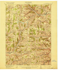
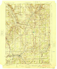
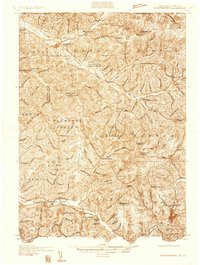
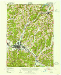
(94)- 1900 Map of Gaines
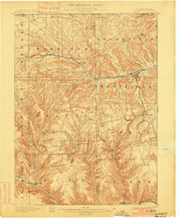 1900 Gaines1900 Print · USGSCovers Allegany County, including Westfield, Independence, and other nearby areas5 unique versions available
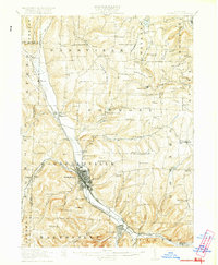
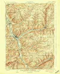
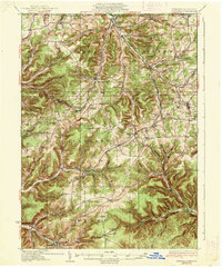
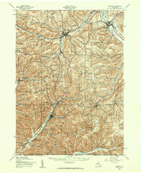
 - 1905 Map of Portage
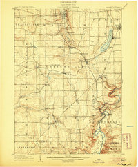 1905 Portage1905 Print · USGSCovers Allegany County, including Perry, Warsaw, and other nearby areas6 unique versions available
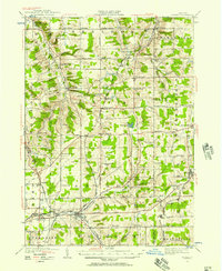
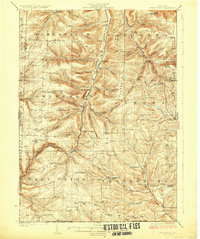
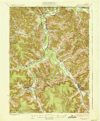
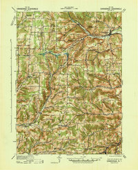
 - 1905 Map of Nunda
 1905 Nunda1905 Print · USGSCovers Allegany County, including Perry, Mount Morris, and other nearby areas6 unique versions available
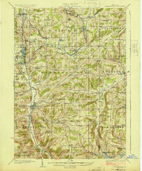
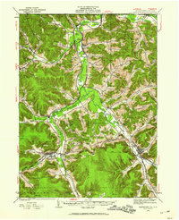
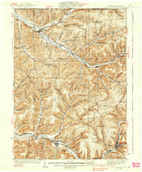
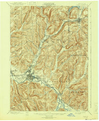
 - 1906 Map of Angelica
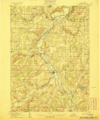 1906 Angelica1906 Print · USGSCovers Allegany County, including Cuba, Caneadea, and other nearby areas6 unique versions available
 - 1915 Map of Hornell, 1962 Print
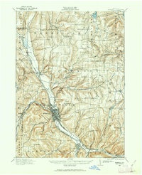 1915 Hornell1962 Print · USGSCovers Allegany County, including Hornell, Alfred, and other nearby areas
 - 1916 Map of Canaseraga
 1916 Canaseraga1916 Print · USGSCovers Allegany County, including Alfred, Alfred, and other nearby areas4 unique versions available
 - 1918 Map of Hornell
 1918 Hornell1918 Print · USGSCovers Allegany County, including Hornell, Alfred, and other nearby areas6 unique versions available
 - 1923 Map of Arcade, 1957 Print
 1923 Arcade1957 Print · USGSCovers Allegany County, including Arcade, Yorkshire, and other nearby areas2 unique versions available
 - 1924 Map of Franklinville
 1924 Franklinville1924 Print · USGSCovers Allegany County, including Yorkshire, Cuba, and other nearby areas3 unique versions available
 - 1925 Map of Belmont
 1925 Belmont1925 Print · USGSCovers Allegany County, including Wellsville, Cuba, and other nearby areas4 unique versions available
 - 1925 Map of Arcade
 1925 Arcade1925 Print · USGSCovers Allegany County, including Arcade, Yorkshire, and other nearby areas4 unique versions available
 - 1926 Map of Wellsville
 1926 Wellsville1926 Print · USGSCovers Allegany County, including Wellsville, Alfred, and other nearby areas5 unique versions available
 - 1926 Map of Greenwood
 1926 Greenwood1926 Print · USGSCovers Allegany County, including Alfred, Canisteo, and other nearby areas4 unique versions available
 - 1932 Map of Genesee, 1961 Print
 1932 Genesee1961 Print · USGSCovers Allegany County, including Willing, Independence, and other nearby areas
 - 1933 Map of Smethport, 1960 Print
 1933 Smethport1960 Print · USGSCovers Allegany County, including Allegany, Portville, and other nearby areas
 - 1934 Map of Coudersport
 1934 Coudersport1934 Print · USGSCovers Allegany County, including Bolivar, Liberty Township, and other nearby areas3 unique versions available
 - 1937 Map of Genesee
 1937 Genesee1937 Print · USGSCovers Allegany County, including Willing, Independence, and other nearby areas3 unique versions available
 - 1937 Map of Smethport
 1937 Smethport1937 Print · USGSCovers Allegany County, including Allegany, Portville, and other nearby areas3 unique versions available
 - 1938 Map of Coudersport
 1938 Coudersport1938 Print · USGSCovers Allegany County, including Bolivar, Liberty Township, and other nearby areas3 unique versions available
 - 1938 Map of Olean, 1955 Print
 1938 Olean1955 Print · USGSCovers Allegany County, including Olean, Allegany, and other nearby areas3 unique versions available
 - 1939 Map of Belmont, 1961 Print
 1939 Belmont1961 Print · USGSCovers Allegany County, including Wellsville, Cuba, and other nearby areas2 unique versions available
 - 1940 Map of Canaseraga
 1940 Canaseraga1940 Print · USGSCovers Allegany County, including Alfred, Alfred, and other nearby areas2 unique versions available
 - 1941 Map of Angelica
 1941 Angelica1941 Print · USGSCovers Allegany County, including Cuba, Caneadea, and other nearby areas
 - 1942 Map of Franklinville
 1942 Franklinville1942 Print · USGSCovers Allegany County, including Yorkshire, Cuba, and other nearby areas
 - 1943 Map of Olean
 1943 Olean1943 Print · USGSCovers Allegany County, including Olean, Allegany, and other nearby areas
Showing maps 1-25 of 94
Top cities of Allegany County
- Wellsville historical maps
- Alfred historical maps
- Cuba historical maps
- Caneadea historical maps
- Amity historical maps
- Hume historical maps
See more
Frequently asked questions
- What are the different types of historical maps available for Allegany County?
- What is the oldest map of Allegany County?
- Where can I purchase historical maps of Allegany County for my home or office?
- Where can I download high-res historical maps of Allegany County?
- Are there historical topographic maps available for Allegany County?
- Is there historical aerial imagery available for Allegany County?
- Where are historical maps of Allegany County sourced from?