2000s (21st Century) Maps of Fenton, New York
Explore 15 historic maps of Fenton from the 2000s (21st Century). These maps offer a rare glimpse into what life looked like during the 2000s — showing old roads, neighborhoods, homes, and landmarks that have changed or disappeared over time.
Whether you're researching your family's past, planning a metal detecting trip, or studying how Fenton's landscape evolved across the 2000s, these high-resolution maps are a powerful tool for exploring the history of this region.
- Focus on a specific era: All maps on this page are from the 2000s, giving you a focused view of this time period.
- See what’s changed: Compare century-old streets, trails, and buildings to today's modern landscape using overlays and satellite layers.
- Research with precision: Use these maps for genealogy, historical research, land use analysis, or educational projects.
- View, download, or print: Maps are fully viewable online in high resolution, and can be downloaded or printed for your own records.
Start exploring Fenton's history through authentic maps from the 2000s. This is your window into the past.
Fenton, NY maps
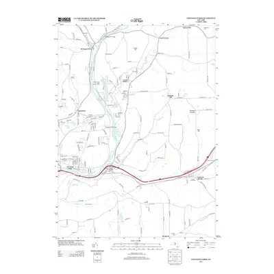
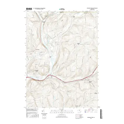
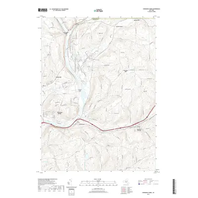
(15)- 2010 Map of Chenango Forks, 2010 Print
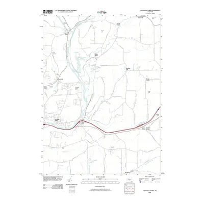 2010 Chenango Forks2010 Print · USGSCovers Fenton, including Chenango, Windsor, and other nearby areas
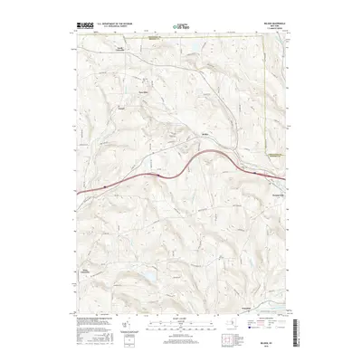
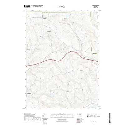
 - 2010 Map of Belden, 2010 Print
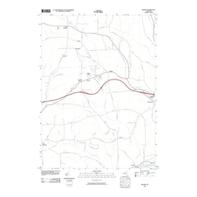 2010 Belden2010 Print · USGSCovers Fenton, including Windsor, Greene, and other nearby areas
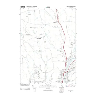
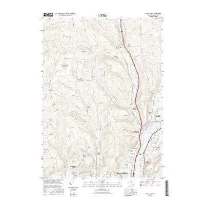
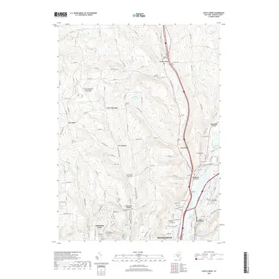
 - 2010 Map of Castle Creek, 2010 Print
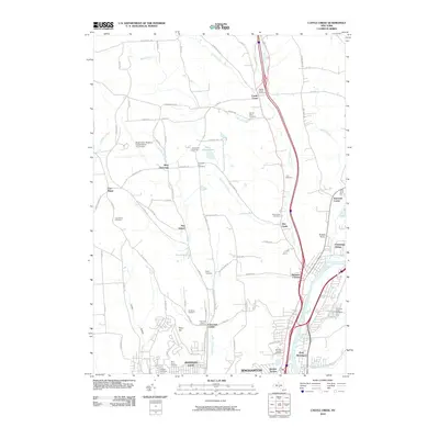 2010 Castle Creek2010 Print · USGSCovers Fenton, including Union, Binghamton, and other nearby areas
 - 2013 Map of Belden, 2013 Print
 2013 Belden2013 Print · USGSCovers Fenton, including Windsor, Greene, and other nearby areas
 - 2013 Map of Castle Creek, 2013 Print
 2013 Castle Creek2013 Print · USGSCovers Fenton, including Union, Binghamton, and other nearby areas
 - 2013 Map of Chenango Forks, 2013 Print
 2013 Chenango Forks2013 Print · USGSCovers Fenton, including Chenango, Windsor, and other nearby areas
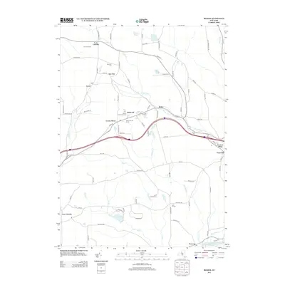
 - 2016 Map of Belden, 2016 Print
 2016 Belden2016 Print · USGSCovers Fenton, including Windsor, Greene, and other nearby areas
 - 2016 Map of Castle Creek, 2016 Print
 2016 Castle Creek2016 Print · USGSCovers Fenton, including Union, Binghamton, and other nearby areas
 - 2016 Map of Chenango Forks, 2016 Print
 2016 Chenango Forks2016 Print · USGSCovers Fenton, including Chenango, Windsor, and other nearby areas
 - 2019 Map of Castle Creek, 2019 Print
 2019 Castle Creek2019 Print · USGSCovers Fenton, including Union, Binghamton, and other nearby areas
 - 2019 Map of Belden, 2019 Print
 2019 Belden2019 Print · USGSCovers Fenton, including Windsor, Greene, and other nearby areas
 - 2019 Map of Chenango Forks, 2019 Print
 2019 Chenango Forks2019 Print · USGSCovers Fenton, including Chenango, Windsor, and other nearby areas
 - 2023 Map of Belden, 2023 Print
 2023 Belden2023 Print · USGSEastern Broome County shows its deep rural roots in this contemporary survey of the high country and river valleys. Genealogists and historians can locate family landmarks like New Ohio Cem, North Colesville, and the waters of Sage Creek.
 - 2023 Map of Castle Creek, 2023 Print
 2023 Castle Creek2023 Print · USGSThe Chenango River valley north of Johnson City shows a landscape of institutional growth and upland hamlets. Genealogists can trace family names across Nimmonsburg Cem, the settlement at Castle Creek, and the grounds of SUNY Broome Community College.
 - 2023 Map of Chenango Forks, 2023 Print
 2023 Chenango Forks2023 Print · USGSThe northern Broome County landscape is captured here where the Tioughnioga River and Chenango River meet. Genealogists and local researchers can trace historic burial sites like Toombs Cem and Collins-Hall Cem alongside the small hamlets of Sanitaria Springs and Port Crane.
End of results
Showing maps 1-15 of 15
Top cities near Fenton
- Union historical maps
- Binghamton historical maps
- Vestal historical maps
- Johnson City historical maps
- Endicott historical maps
- Endwell historical maps
See more
Top neighborhoods of Fenton
- North Fenton historical maps
- Pleasant Hill historical maps
- Port Crane historical maps
- Quinneville historical maps
- Wyman Corner historical maps
Frequently asked questions
- What are the different types of historical maps available for Fenton?
- What is the oldest map of Fenton?
- Where can I purchase historical maps of Fenton for my home or office?
- Where can I download high-res historical maps of Fenton?
- Are there historical topographic maps available for Fenton?
- Is there historical aerial imagery available for Fenton?
- Where are historical maps of Fenton sourced from?