Old Maps of Throop, New York for Metal Detecting
Plan your next treasure hunt with 43 historic maps of Throop. Find old homesites, ghost towns, trails, and gathering spots that may be lost to time — perfect for identifying promising metal detecting locations.
- Locate forgotten sites: Uncover places like long-lost settlements, abandoned rail lines, or gathering spots.
- Plan better hunts: Use map overlays combined with LiDAR or satellite views to narrow in on historically rich areas.
- Made for detectorists: Thousands of hobbyists use these maps to discover relics, coins, and hidden history.
Use these historic maps to boost your research and find new opportunities beneath the surface of Throop.
Throop, NY maps
(43)- 1899 Map of Auburn
 1899 Auburn1899 Print · USGSThe Finger Lakes region thrived at the close of the nineteenth century as a hub of rail and water transport. Genealogists can trace family names at Coonley Corners or locate early industrial sites like Howard Mill and the State Dam.
 - 1902 Map of Weedsport
 1902 Weedsport1902 Print · USGSCentral New York at the turn of the century reveals a landscape shaped by the Erie Canal and a dense network of early railroads. Genealogists and historians can trace the foundations of Weedsport and Port Byron, or locate landmarks like the Brick Church and the Canal Basin at Montezuma.10 unique versions available
 - 1902 Map of Auburn
 1902 Auburn1902 Print · USGSThe Finger Lakes region thrived at the turn of the century as a hub of rail lines and canal traffic. Genealogists and historians can trace old homesteads and landings from Union Springs to Throopsville, including the complex rail junctions at Cayuga Junction and Aurelius Sta.9 unique versions available
 - 1943 Map of Montezuma
 1943 Montezuma1943 Print · USGSThe Cayuga County marshlands are captured here during the Second World War as the region’s massive river and canal systems were being managed for conservation. You can trace the early path of the Erie Canal (Abandoned) or find family sites near Port Byron and Murray Cem.
 - 1943 Map of Cayuga
 1943 Cayuga1943 Print · USGSThe northern reaches of Cayuga Lake and the Montezuma wetlands are captured here during the early 1940s. Genealogists can locate family-named landmarks like Farnam Cem and Polk Corners, alongside the tracks of the New York Central Railroad.
 - 1943 Map of Weedsport
 1943 Weedsport1943 Print · USGSMid-century Cayuga County is defined by its deep layering of transport history as the modern Barge Canal replaces the original Erie route. Researchers can trace the transition between eras at the Weedsport Canal Terminal and the Erie Canal (Abandoned), or locate family sites like La Due Cem and Brick Church.
 - 1943 Map of Auburn
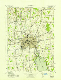 1943 Auburn1943 Print · USGSMid-century Auburn and its lakefront were defined by a mix of heavy industry and institutional landmarks during the war years. Genealogists and researchers can trace local family history through numerous rural burial grounds like Soule Cem and schools such as Seward Sch.
 - 1950 Map of Elmira
 1950 Elmira1950 Print · USGSThe Finger Lakes region thrived in the late 1940s as a hub of industry and transport. Trace family roots and vanished landmarks near Seneca Lake or explore the rail lines of the Erie RR and the sprawling Seneca Ordnance Depot.2 unique versions available
 - 1953 Map of Auburn
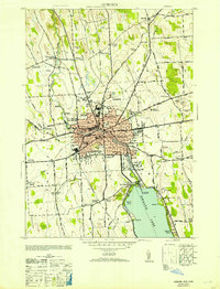 1953 Auburn1953 Print · USGSAuburn and its surrounding townships thrive in the mid-twentieth century as a major center for industry, rail, and state institutions. Genealogists and local historians can trace the footprints of Auburn State Prison, the Childrens Home, and numerous local burial grounds like Fort Hill Cem and Soule Cem.
 - 1954 Map of Auburn, 1955 Print
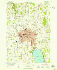 1954 Auburn1955 Print · USGSThe industrial hub of Auburn and the northern reaches of Owasco Lake are captured here during the mid-fifties. Genealogists and researchers can trace family names at Fort Hill Cemetery, locate the old Half Acre Sta, or follow the Lehigh Valley Railroad through Aurelius.3 unique versions available
 - 1954 Map of Weedsport, 1956 Print
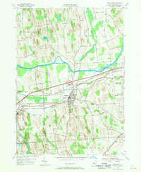 1954 Weedsport1956 Print · USGSMid-century Cayuga County is defined by its transit corridors, where the New York State Thruway meets older rail lines and canal beds. You can trace family roots at Weedsport Rural Cem or locate former landmarks like the Arthur Gates Sch and the Weedsport Canal Terminal.4 unique versions available
 - 1954 Map of Montezuma, 1956 Print
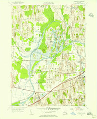 1954 Montezuma1956 Print · USGSThe Seneca River and Erie Canal corridors are captured here in the mid-fifties, just as the New York State Thruway began to reshape the region. Trace local history through Port Byron, Willow Grove, and the wetlands of the Montezuma National Wildlife Refuge.3 unique versions available
 - 1954 Map of Cayuga, 1956 Print
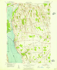 1954 Cayuga1956 Print · USGSMid-century Cayuga County is defined here by the vast wetlands of the Montezuma Marsh and the busy rail-and-canal corridor at the head of Cayuga Lake. Genealogists and local historians can trace family-named crossroads like Polk Corners, locate the Montezuma Cem, or find long-standing rural junctions like Half Acre.2 unique versions available
 - 1954 Map of Weedsport, 1961 Print
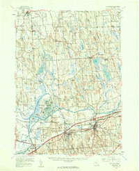 1954 Weedsport1961 Print · USGSMid-century Cayuga County is captured here as the new thruway begins to reshape the historic canal and rail corridor. Researchers can trace the legacy of the Erie Canal and New York Central through Port Byron, or locate family landmarks like Brick Ch and Schuler Farms Airfield.3 unique versions available
 - 1956 Map of Auburn, 1961 Print
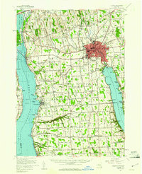 1956 Auburn1961 Print · USGSMid-century Cayuga County is defined by the industrial engine of Auburn and the busy shorelines of Cayuga and Owasco Lakes. Genealogists and historians can trace family ties through Old Quaker Cem, locate the old Half Acre Sta, and see the early footprint of the New York State Thruway.2 unique versions available
 - 1958 Map of Elmira
 1958 Elmira1958 Print · USGSThe New York Finger Lakes during the late fifties reveal a complex landscape of glacial geology and industrial growth. Researchers can trace historic transport corridors like the Erie Canal and Erie RR, or locate institutional landmarks like Cornell University.2 unique versions available
 - 1960 Map of Rochester
 1960 Rochester1960 Print · USGSThe Lake Ontario shoreline in the late fifties was a bustling corridor of rail and water commerce. Genealogists and historians can trace the path of the New York Central through canal towns like Newark or explore the coastal landmarks around Sackets Harbor.2 unique versions available
 - 1961 Map of Rochester, 1973 Print
 1961 Rochester1973 Print · USGSThe Lake Ontario shoreline and Finger Lakes frontier are shown here at the height of the mid-century infrastructure boom. Genealogists and historians can trace the rail-and-road evolution from Sackets Harbor down to the New York State Thruway, passing through centers like Pulaski and Adams Center.3 unique versions available
 - 1962 Map of Elmira, 1969 Print
 1962 Elmira1969 Print · USGSThe Finger Lakes region and Southern Tier are captured here during a period of industrial maturity and highway expansion. Researchers can trace the path of the Erie Canal, the footprint of the Seneca Army Depot, and legacy rail lines through Elmira and Ithaca.4 unique versions available
 - 1965 Map of Rochester
 1965 Rochester1965 Print · USGSUpstate New York's industrial heartland is captured here during a period of significant growth between the Great Lakes and the Finger Lakes. Genealogists and historians can trace the evolution of canal towns and rail hubs from Rochester to Syracuse, noting features like the Erie Canal and the New York State Thruway.
 - 1965 Map of Elmira
 1965 Elmira1965 Print · USGSThe Finger Lakes and Southern Tier regions are captured in the mid-sixties, showcasing a landscape of deep glacial valleys and heavy rail infrastructure. Trace old railroad corridors like the Pennsylvania RR or visit landmarks like Letchworth State Park and the Seneca Army Depot.
 - 1985 Map of Syracuse
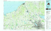 1985 Syracuse1985 Print · USGSCentral New York in the mid-eighties shows a landscape of established canal towns and growing metropolitan suburbs linked by rail and water. Researchers can trace the path of the Erie Canal, find the boundaries of Montezuma Marsh, and locate regional landmarks like Oneida Lake and Chimney Bluffs.3 unique versions available
 - 1986 Map of Auburn
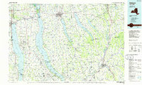 1986 Auburn1986 Print · USGSThe Finger Lakes region in the mid-eighties shows a landscape of deep glacial waters and significant military sites. Trace the layout of the Seneca Army Depot, find the campus of Wells College, and follow the historic Lehigh Valley RR lines.2 unique versions available
 - 2010 Map of Montezuma, 2010 Print
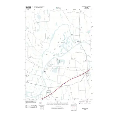 2010 Montezuma2010 Print · USGSIn this Cayuga County landscape during the early 2010s, the historic water routes of the Seneca River and Erie Canal define the local geography. Family historians can trace ancestral sites at the Old Montezuma Cemetery and follow rural routes to settlements like Port Byron and Rogers Crossroads.
 - 2010 Map of Auburn, 2010 Print
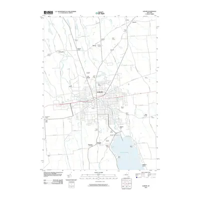 2010 Auburn2010 Print · USGSAuburn and its northern outskirts are captured at the start of the decade, showing the city's transition into the agricultural Finger Lakes countryside. Researchers can trace dozens of burial sites like Fort Hill Cemetery and Sennett Rural Cemetery, alongside lakefront communities at Highland Beach.
Showing maps 1-25 of 43
Top cities near Throop
- Auburn historical maps
- Lysander historical maps
- Van Buren historical maps
- Seneca Falls historical maps
- Waterloo historical maps
- Skaneateles historical maps
See more
Top neighborhoods of Throop
Frequently asked questions
- What are the different types of historical maps available for Throop?
- What is the oldest map of Throop?
- Where can I purchase historical maps of Throop for my home or office?
- Where can I download high-res historical maps of Throop?
- Are there historical topographic maps available for Throop?
- Is there historical aerial imagery available for Throop?
- Where are historical maps of Throop sourced from?