2000s (21st Century) Maps of Busti, New York
Explore 30 historic maps of Busti from the 2000s (21st Century). These maps offer a rare glimpse into what life looked like during the 2000s — showing old roads, neighborhoods, homes, and landmarks that have changed or disappeared over time.
Whether you're researching your family's past, planning a metal detecting trip, or studying how Busti's landscape evolved across the 2000s, these high-resolution maps are a powerful tool for exploring the history of this region.
- Focus on a specific era: All maps on this page are from the 2000s, giving you a focused view of this time period.
- See what’s changed: Compare century-old streets, trails, and buildings to today's modern landscape using overlays and satellite layers.
- Research with precision: Use these maps for genealogy, historical research, land use analysis, or educational projects.
- View, download, or print: Maps are fully viewable online in high resolution, and can be downloaded or printed for your own records.
Start exploring Busti's history through authentic maps from the 2000s. This is your window into the past.
Busti, NY maps
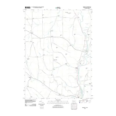
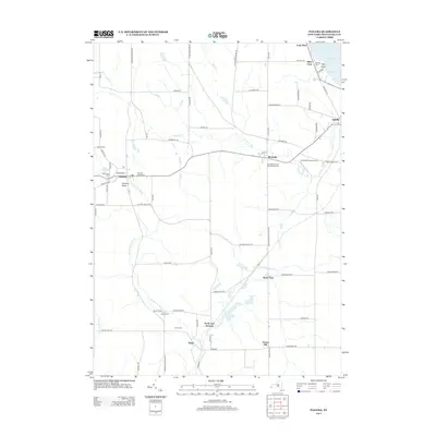
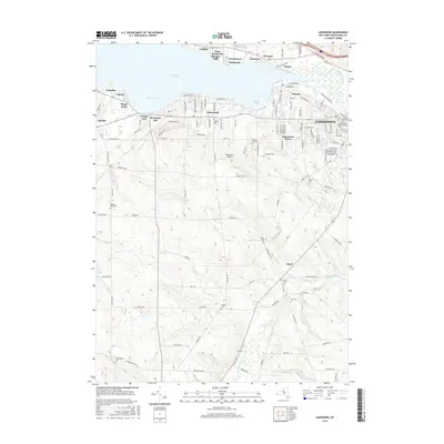
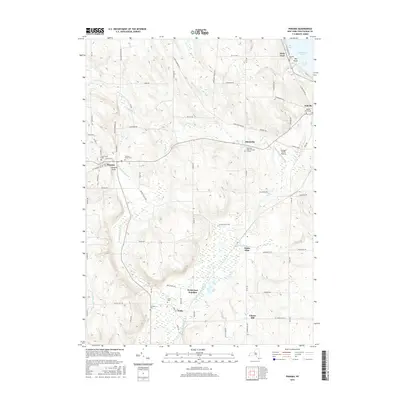
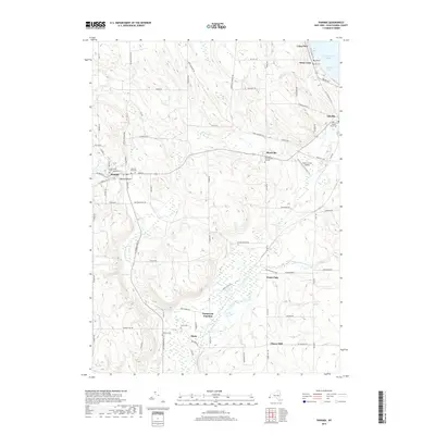
(30)- 2010 Map of Panama, 2010 Print
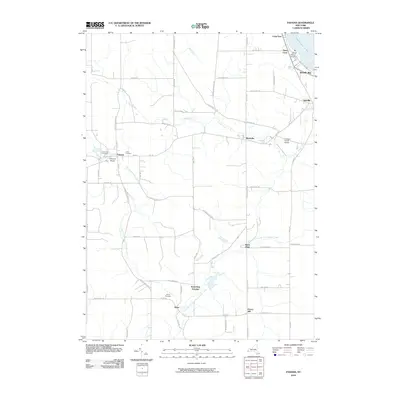 2010 Panama2010 Print · USGSCovers Busti, including North Harmony, Harmony, and other nearby areas
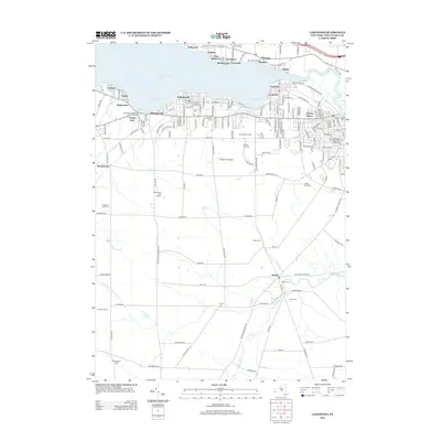
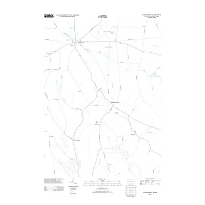
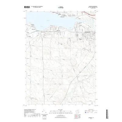
 - 2010 Map of Lakewood, 2010 Print
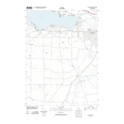 2010 Lakewood2010 Print · USGSCovers Busti, including Jamestown, Ellicott, and other nearby areas
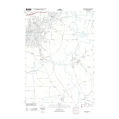
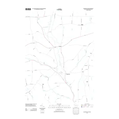
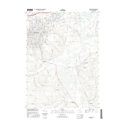
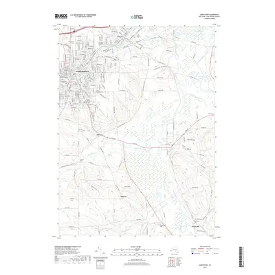
 - 2010 Map of Jamestown, 2010 Print
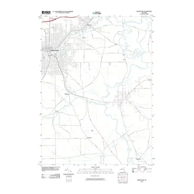 2010 Jamestown2010 Print · USGSCovers Busti, including Jamestown, Ellicott, and other nearby areas
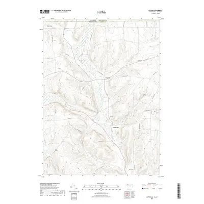
 - 2010 Map of Lottsville, 2010 Print
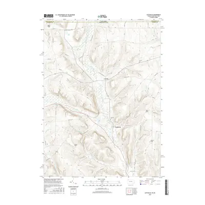
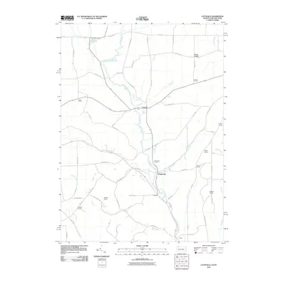 2010 Lottsville2010 Print · USGSCovers Busti, including Harmony, Pittsfield Township, and other nearby areas
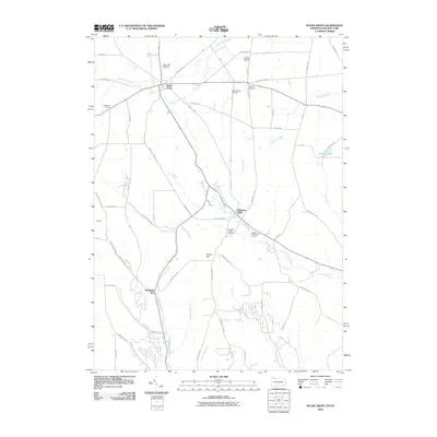
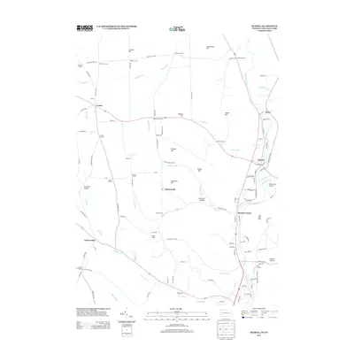
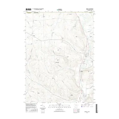
 - 2010 Map of Russell, 2010 Print
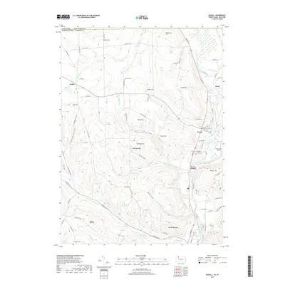
 2010 Russell2010 Print · USGSCovers Busti, including Carroll, Kiantone, and other nearby areas
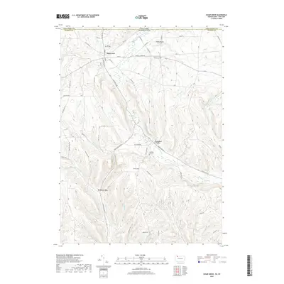
 - 2010 Map of Sugar Grove, 2010 Print
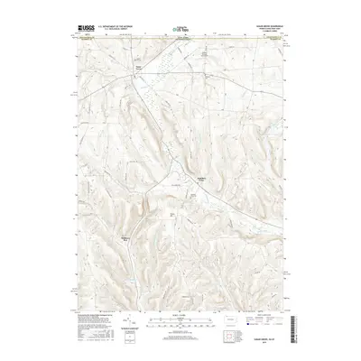
 2010 Sugar Grove2010 Print · USGSCovers Busti, including Pittsfield Township, Sugar Grove, and other nearby areas
 - 2013 Map of Jamestown, 2013 Print
 2013 Jamestown2013 Print · USGSCovers Busti, including Jamestown, Ellicott, and other nearby areas
 - 2013 Map of Lakewood, 2013 Print
 2013 Lakewood2013 Print · USGSCovers Busti, including Jamestown, Ellicott, and other nearby areas
 - 2013 Map of Panama, 2013 Print
 2013 Panama2013 Print · USGSCovers Busti, including North Harmony, Harmony, and other nearby areas
 - 2013 Map of Sugar Grove, 2013 Print
 2013 Sugar Grove2013 Print · USGSCovers Busti, including Pittsfield Township, Sugar Grove, and other nearby areas
 - 2013 Map of Lottsville, 2013 Print
 2013 Lottsville2013 Print · USGSCovers Busti, including Harmony, Pittsfield Township, and other nearby areas
 - 2013 Map of Russell, 2013 Print
 2013 Russell2013 Print · USGSCovers Busti, including Carroll, Kiantone, and other nearby areas
 - 2016 Map of Russell, 2016 Print
 2016 Russell2016 Print · USGSCovers Busti, including Carroll, Kiantone, and other nearby areas
 - 2016 Map of Lottsville, 2016 Print
 2016 Lottsville2016 Print · USGSCovers Busti, including Harmony, Pittsfield Township, and other nearby areas
 - 2016 Map of Sugar Grove, 2016 Print
 2016 Sugar Grove2016 Print · USGSCovers Busti, including Pittsfield Township, Sugar Grove, and other nearby areas
 - 2016 Map of Lakewood, 2016 Print
 2016 Lakewood2016 Print · USGSCovers Busti, including Jamestown, Ellicott, and other nearby areas
 - 2016 Map of Jamestown, 2016 Print
 2016 Jamestown2016 Print · USGSCovers Busti, including Jamestown, Ellicott, and other nearby areas
 - 2016 Map of Panama, 2016 Print
 2016 Panama2016 Print · USGSCovers Busti, including North Harmony, Harmony, and other nearby areas
 - 2019 Map of Lottsville, 2019 Print
 2019 Lottsville2019 Print · USGSCovers Busti, including Harmony, Pittsfield Township, and other nearby areas
 - 2019 Map of Sugar Grove, 2019 Print
 2019 Sugar Grove2019 Print · USGSCovers Busti, including Pittsfield Township, Sugar Grove, and other nearby areas
 - 2019 Map of Russell, 2019 Print
 2019 Russell2019 Print · USGSCovers Busti, including Carroll, Kiantone, and other nearby areas
 - 2019 Map of Panama, 2019 Print
 2019 Panama2019 Print · USGSCovers Busti, including North Harmony, Harmony, and other nearby areas
 - 2019 Map of Lakewood, 2019 Print
 2019 Lakewood2019 Print · USGSCovers Busti, including Jamestown, Ellicott, and other nearby areas
 - 2019 Map of Jamestown, 2019 Print
 2019 Jamestown2019 Print · USGSCovers Busti, including Jamestown, Ellicott, and other nearby areas
 - 2023 Map of Jamestown, 2023 Print
 2023 Jamestown2023 Print · USGSJamestown and the Chautauqua County valley corridors are captured here in the early 2020s, showing a landscape defined by its waterways. Researchers can trace local genealogy and land use across sites like Stillwater Cem, Laska Airport, and the Conewango Creek Water Trail.
Showing maps 1-25 of 30
Top cities near Busti
- Jamestown historical maps
- Warren historical maps
- Ellicott historical maps
- Westfield historical maps
- Ellery historical maps
- Chautauqua historical maps
See more
Top neighborhoods of Busti
- Loomises historical maps
- Cottage Park historical maps
- Shermans Bay historical maps
- Boomertown historical maps
- Vukote historical maps
- Maple Point historical maps
See more
Frequently asked questions
- What are the different types of historical maps available for Busti?
- What is the oldest map of Busti?
- Where can I purchase historical maps of Busti for my home or office?
- Where can I download high-res historical maps of Busti?
- Are there historical topographic maps available for Busti?
- Is there historical aerial imagery available for Busti?
- Where are historical maps of Busti sourced from?