Old Maps of Findley Lake, Mina for Genealogy
Trace your family roots with 14 historic maps of Findley Lake. These high-res maps reveal old neighborhoods, homesites, landmarks, and streets — helping you uncover where your ancestors lived and how the area evolved over time.
- Explore historic neighborhoods: Identify where your relatives may have lived in the 1800s or 1900s.
- Compare maps over time: Trace the changes in streets, buildings, and landmarks for multi-generational research.
- Perfect for genealogy & ancestry research: Used by family historians and researchers to map out lineage and migration.
These maps are an incredible resource for exploring your personal connection to Findley Lake's past.
Findley Lake, Mina maps
(14)- 1905 Map of Clymer
 1905 Clymer1905 Print · USGSWestern Chautauqua County at the turn of the century shows a landscape of busy rail corridors and small rural hamlets. Genealogists can trace family roots through crossroads like Sheldon Corners or follow the old tracks through Sherman and Panama Sta.4 unique versions available
 - 1939 Map of Clymer, 1957 Print
 1939 Clymer1957 Print · USGSChautauqua County’s rural uplands are shown here just before the 1940s, highlighting a network of rail-side hamlets and crossroads. Genealogists can locate family-named sites like Raters Corners and Sheldon Corners or trace the Pennsylvania rail line.4 unique versions available
 - 1941 Map of Clymer, 1945 Print
 1941 Clymer1945 Print · USGSChautauqua County at the start of the 1940s reveals a landscape of highland dairy farms and vital rail links. Genealogists can trace family footprints at Sheldon Corners, find the Nettle Hill Sch, or follow the Pennsylvania RR through Sherman.
 - 1954 Map of Clymer, 1957 Print
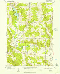 1954 Clymer1957 Print · USGSChautauqua County in the mid-fifties presents a landscape of dairy farms and rural hamlets connected by narrow valley roads. Researchers can trace family history through sites like Marks Corners Cem, Edwards Chapel, and the shoreline settlements of Findley Lake.3 unique versions available
 - 1960 Map of Buffalo
 1960 Buffalo1960 Print · USGSWestern New York and the Niagara Peninsula thrive during the mid-twentieth century industrial peak. Genealogists and historians can trace family-named points and early settlements from Dunkirk Light to the Allegany Indian Reservation.
 - 1962 Map of Buffalo, 1980 Print
 1962 Buffalo1980 Print · USGSThe Niagara Frontier and Western New York are captured here in the early sixties, showing the vital industrial and maritime nexus between the U.S. and Canada. Researchers can trace the path of the Welland Canal, locate the Allegany Indian Reservation, or find family sites near Chautauqua Lake.2 unique versions available
 - 1967 Map of Buffalo
 1967 Buffalo1967 Print · USGSWestern New York and the Lake Erie shoreline are shown here during the mid-1960s industrial peak. Researchers can trace the massive rail networks of the Erie Railroad, locate the Cattaraugus Indian Reservation, or find historic sites like Fort Erie.
 - 1973 Map of Buffalo
 1973 Buffalo1973 Print · USGSWestern New York and Ontario's Golden Horseshoe meet in the early seventies, spanning from the industrial waterfronts of Buffalo to the hills of Allegany State Park. Trace the paths of the Welland Canal and Erie Lackawanna railroad through the lakefront towns of Dunkirk and Port Colborne.
 - 1986 Map of Jamestown
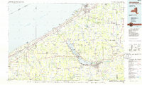 1986 Jamestown1986 Print · USGSChautauqua County and the Lake Erie shoreline are captured in the mid-eighties as the region balanced its industrial rail hubs with lakeside culture. Local historians can trace the grounds of the Chautauqua Institution, the expansion of Jamestown, and rural landmarks like Sunset Hill Cemetery.2 unique versions available
 - 2010 Map of Clymer, 2010 Print
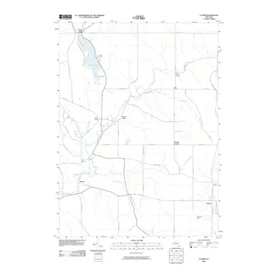 2010 Clymer2010 Print · USGSSouthwestern Chautauqua County is captured here in the years following the millennium, showing a landscape of small crossroads hamlets and upland cemeteries. Genealogists can trace family names through sites like Holland Cemetery and Saint Matthias Cemetery or explore settlements at Clymer and French Creek.
 - 2013 Map of Clymer, 2013 Print
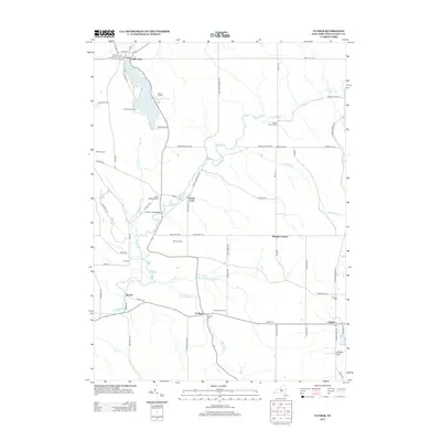 2013 Clymer2013 Print · USGSSouthwestern Chautauqua County is captured here in the early twenty-first century, showing a landscape of established dairy farms and lakeside communities. Researchers can trace family sites like Boozel Farms or locate small burial grounds such as Taft Cem and Holland Cem.
 - 2016 Map of Clymer, 2016 Print
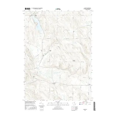 2016 Clymer2016 Print · USGSSouthwestern Chautauqua County is captured here in the mid-2010s, showing a landscape defined by small hamlets and rural cemeteries. Genealogists can trace family sites at Taft Cem and Marks Corners Cem or explore the settlements of Cutting and Marvin.
 - 2019 Map of Clymer, 2019 Print
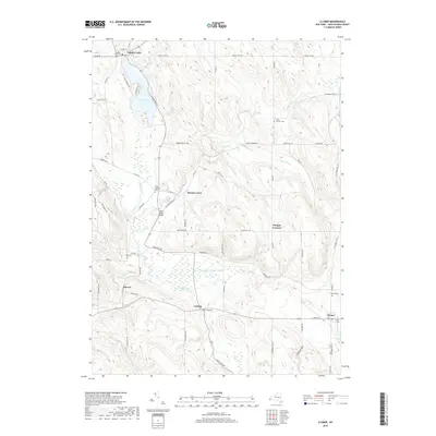 2019 Clymer2019 Print · USGSChautauqua County’s rural uplands and lakeside communities are detailed here as they appeared in recent years. Genealogists can locate family names and burial sites at Findley Lake Cem, Saint Matthias Cem, and the hamlet of Cutting.
 - 2023 Map of Clymer, 2023 Print
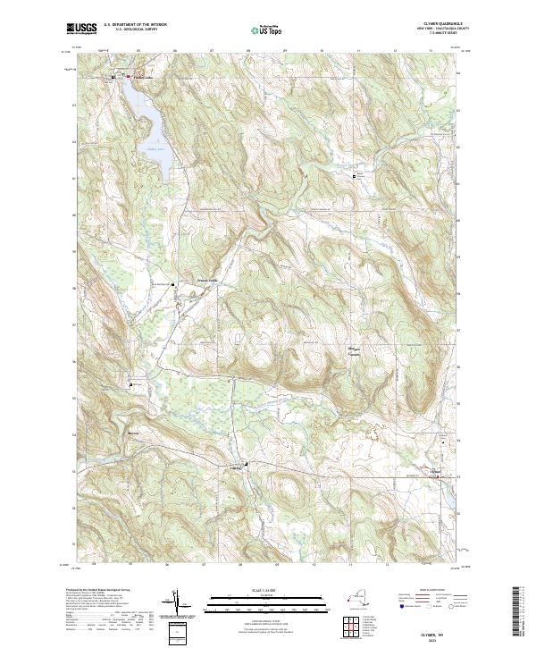 2023 Clymer2023 Print · USGSSouthwestern Chautauqua County is captured here in the 2020s, showing a landscape of quiet hamlets and glacial lakes near the Pennsylvania border. Researchers can trace local lineage through Findley Lake Cem, Holland Cem, and the rural crossroads of Morgan Corners.
End of results
Showing maps 1-14 of 14
Top cities near Findley Lake
- Harborcreek Township historical maps
- North East historical maps
- Corry historical maps
- Westfield historical maps
- Portland historical maps
- Chautauqua historical maps
See more
Frequently asked questions
- What are the different types of historical maps available for Findley Lake?
- What is the oldest map of Findley Lake?
- Where can I purchase historical maps of Findley Lake for my home or office?
- Where can I download high-res historical maps of Findley Lake?
- Are there historical topographic maps available for Findley Lake?
- Is there historical aerial imagery available for Findley Lake?
- Where are historical maps of Findley Lake sourced from?