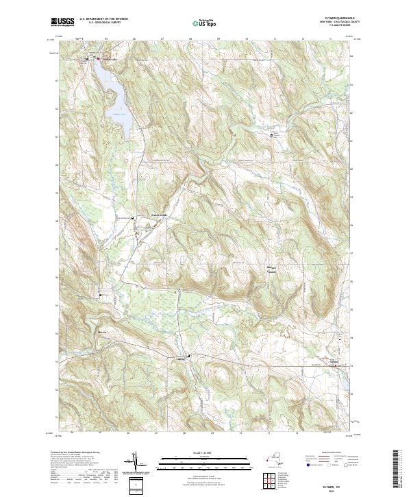
2023 Map of Clymer
USGS Topo · Published 2023About this map
Findley Lake serves as a prominent focal point in this Chautauqua County landscape, where the resort community and its namesake water body anchor the northwestern corner. The area is defined by a series of small, traditional hamlets including French Creek, Marvin, and Cutting, which are linked by a network of winding county roads like Sunnyside Rd and Ravlin Hill Rd. The terrain is characterized by the meandering path of French Creek (the waterway) and its many tributaries, such as Beaver Meadow Brook and Parks Brook, which have carved out distinctive local features like the Lathrup Gulf.
Find a feature on this map
63 named features on this map. Tap any name to fly to it.
Don’t see what you’re looking for? This feature index may not catch every label — zoom into the map to look around manually.
Map Details
Editions of this 2023 Clymer Map
This is the sole edition of this map. No revisions or reprints were ever made.
Other maps of this area

1905 · Clymer
USGS Topo · 1:62,500

1913 · North East
USGS Topo · 1:62,500

1915 · North East
USGS Topo · 1:62,500

1929 · Corry
USGS Topo · 1:48,000

1929 · Union City
USGS Topo · 1:62,500

1932 · Corry
USGS Topo · 1:62,500

1932 · Union City
USGS Topo · 1:62,500

1939 · Clymer
USGS Topo · 1:62,500

1941 · Clymer
USGS Topo · 1:62,500

1943 · North East
USGS Topo · 1:62,500