2000s (21st Century) Maps of Villenova, New York
Explore 20 historic maps of Villenova from the 2000s (21st Century). These maps offer a rare glimpse into what life looked like during the 2000s — showing old roads, neighborhoods, homes, and landmarks that have changed or disappeared over time.
Whether you're researching your family's past, planning a metal detecting trip, or studying how Villenova's landscape evolved across the 2000s, these high-resolution maps are a powerful tool for exploring the history of this region.
- Focus on a specific era: All maps on this page are from the 2000s, giving you a focused view of this time period.
- See what’s changed: Compare century-old streets, trails, and buildings to today's modern landscape using overlays and satellite layers.
- Research with precision: Use these maps for genealogy, historical research, land use analysis, or educational projects.
- View, download, or print: Maps are fully viewable online in high resolution, and can be downloaded or printed for your own records.
Start exploring Villenova's history through authentic maps from the 2000s. This is your window into the past.
Villenova, NY maps
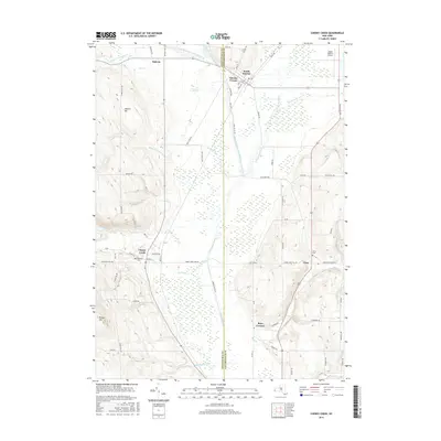
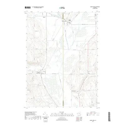
(20)- 2010 Map of Cherry Creek, 2010 Print
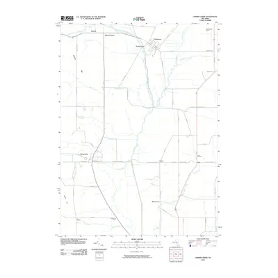 2010 Cherry Creek2010 Print · USGSCovers Villenova, including Conewango, Dayton, and other nearby areas
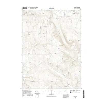
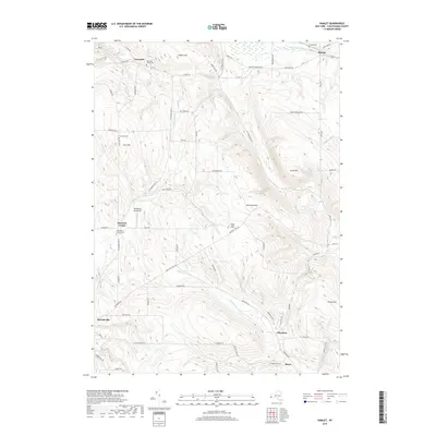
 - 2010 Map of Hamlet, 2010 Print
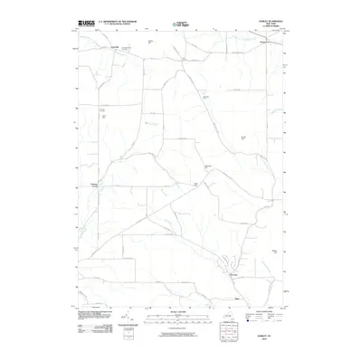 2010 Hamlet2010 Print · USGSCovers Villenova, including Gerry, Charlotte, and other nearby areas
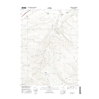
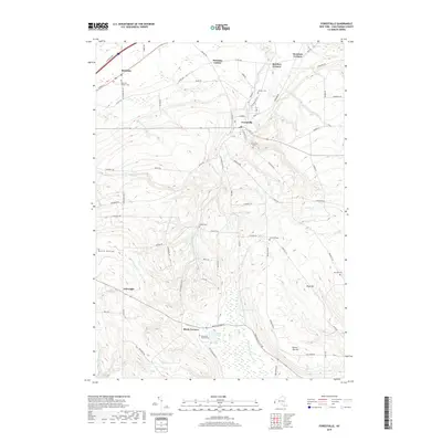
 - 2010 Map of Forestville, 2010 Print
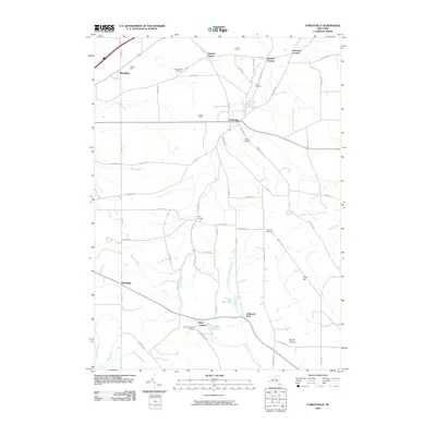 2010 Forestville2010 Print · USGSCovers Villenova, including Hanover, Sheridan, and other nearby areas
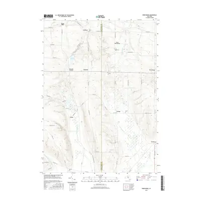
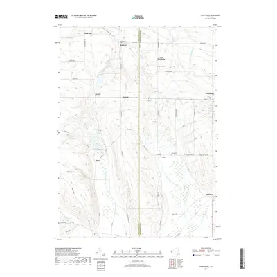
 - 2010 Map of Perrysburg, 2010 Print
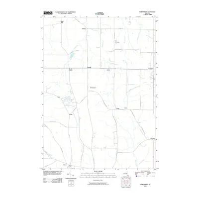 2010 Perrysburg2010 Print · USGSCovers Villenova, including Hanover, Dayton, and other nearby areas
 - 2013 Map of Perrysburg, 2013 Print
 2013 Perrysburg2013 Print · USGSCovers Villenova, including Hanover, Dayton, and other nearby areas
 - 2013 Map of Forestville, 2013 Print
 2013 Forestville2013 Print · USGSCovers Villenova, including Hanover, Sheridan, and other nearby areas
 - 2013 Map of Hamlet, 2013 Print
 2013 Hamlet2013 Print · USGSCovers Villenova, including Gerry, Charlotte, and other nearby areas
 - 2013 Map of Cherry Creek, 2013 Print
 2013 Cherry Creek2013 Print · USGSCovers Villenova, including Conewango, Dayton, and other nearby areas
 - 2016 Map of Cherry Creek, 2016 Print
 2016 Cherry Creek2016 Print · USGSCovers Villenova, including Conewango, Dayton, and other nearby areas
 - 2016 Map of Hamlet, 2016 Print
 2016 Hamlet2016 Print · USGSCovers Villenova, including Gerry, Charlotte, and other nearby areas
 - 2016 Map of Perrysburg, 2016 Print
 2016 Perrysburg2016 Print · USGSCovers Villenova, including Hanover, Dayton, and other nearby areas
 - 2016 Map of Forestville, 2016 Print
 2016 Forestville2016 Print · USGSCovers Villenova, including Hanover, Sheridan, and other nearby areas
 - 2019 Map of Cherry Creek, 2019 Print
 2019 Cherry Creek2019 Print · USGSCovers Villenova, including Conewango, Dayton, and other nearby areas
 - 2019 Map of Hamlet, 2019 Print
 2019 Hamlet2019 Print · USGSCovers Villenova, including Gerry, Charlotte, and other nearby areas
 - 2019 Map of Forestville, 2019 Print
 2019 Forestville2019 Print · USGSCovers Villenova, including Hanover, Sheridan, and other nearby areas
 - 2019 Map of Perrysburg, 2019 Print
 2019 Perrysburg2019 Print · USGSCovers Villenova, including Hanover, Dayton, and other nearby areas
 - 2023 Map of Perrysburg, 2023 Print
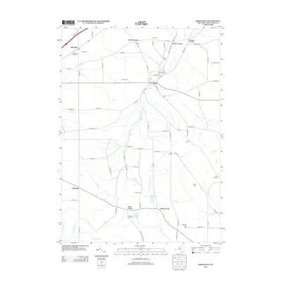
 2023 Perrysburg2023 Print · USGSThe Chautauqua and Cattaraugus county line divides this rural landscape as it appeared in the early 2020s. Genealogists can locate several historic burial grounds, such as Perrysburg Cem and Cottage Cem, alongside small hamlets like Smith Mills and Nashville.
 - 2023 Map of Forestville, 2023 Print
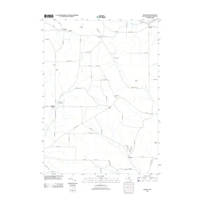
 2023 Forestville2023 Print · USGSChautauqua County’s upland terrain and creek valleys are captured in this modern survey of the Forestville area. Researchers can locate ancestral sites at Sheridan Pioneer Cem, Abbey Cem, and the crossroads of Black Corners.
 - 2023 Map of Cherry Creek, 2023 Print
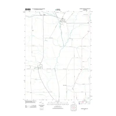
 2023 Cherry Creek2023 Print · USGSThe borderlands of Chautauqua and Cattaraugus counties come into focus in this contemporary survey of New York valley settlements. Researchers can trace the layout of South Dayton and Cherry Creek, or locate local burial sites at Highland Cem and Union Cem.
 - 2023 Map of Hamlet, 2023 Print
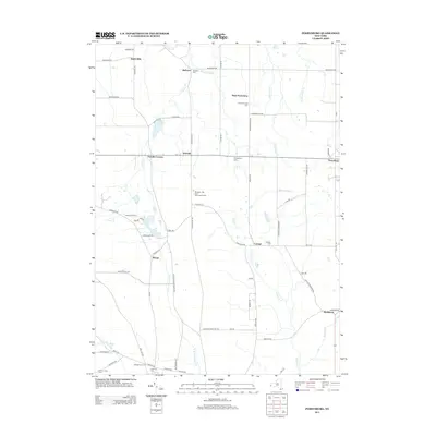
 2023 Hamlet2023 Print · USGSEastern Chautauqua County is captured here in the early twenty-first century, showing a landscape of high hills and creek valleys. Genealogists can locate several historic burial grounds like Luce Hill Cem and Burnham Hollow Cem alongside small crossroads such as Thornton.
End of results
Showing maps 1-20 of 20
Top cities near Villenova
- Evans historical maps
- Pomfret historical maps
- Dunkirk historical maps
- Fredonia historical maps
- Ellicott historical maps
- Eden historical maps
See more
Top neighborhoods of Villenova
Frequently asked questions
- What are the different types of historical maps available for Villenova?
- What is the oldest map of Villenova?
- Where can I purchase historical maps of Villenova for my home or office?
- Where can I download high-res historical maps of Villenova?
- Are there historical topographic maps available for Villenova?
- Is there historical aerial imagery available for Villenova?
- Where are historical maps of Villenova sourced from?