2000s (21st Century) Maps of Greene, New York
Explore 30 historic maps of Greene from the 2000s (21st Century). These maps offer a rare glimpse into what life looked like during the 2000s — showing old roads, neighborhoods, homes, and landmarks that have changed or disappeared over time.
Whether you're researching your family's past, planning a metal detecting trip, or studying how Greene's landscape evolved across the 2000s, these high-resolution maps are a powerful tool for exploring the history of this region.
- Focus on a specific era: All maps on this page are from the 2000s, giving you a focused view of this time period.
- See what’s changed: Compare century-old streets, trails, and buildings to today's modern landscape using overlays and satellite layers.
- Research with precision: Use these maps for genealogy, historical research, land use analysis, or educational projects.
- View, download, or print: Maps are fully viewable online in high resolution, and can be downloaded or printed for your own records.
Start exploring Greene's history through authentic maps from the 2000s. This is your window into the past.
Greene, NY maps
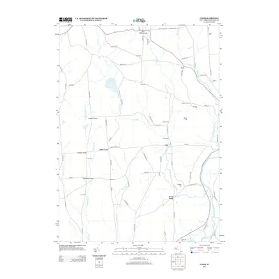
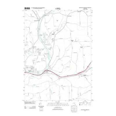
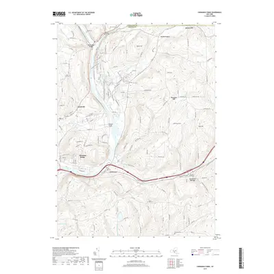
(30)- 2010 Map of Chenango Forks, 2010 Print
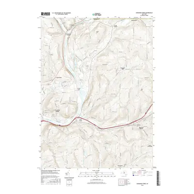
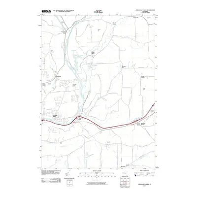 2010 Chenango Forks2010 Print · USGSCovers Greene, including Chenango, Fenton, and other nearby areas
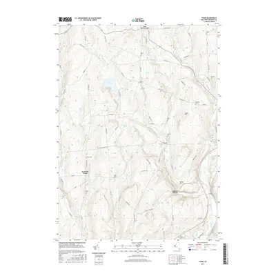
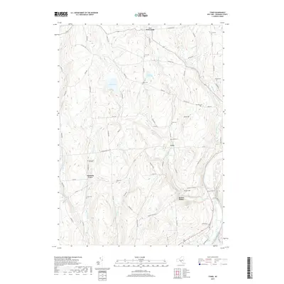
 - 2010 Map of Tyner, 2010 Print
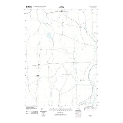 2010 Tyner2010 Print · USGSCovers Greene, including Oxford, Smithville, and other nearby areas
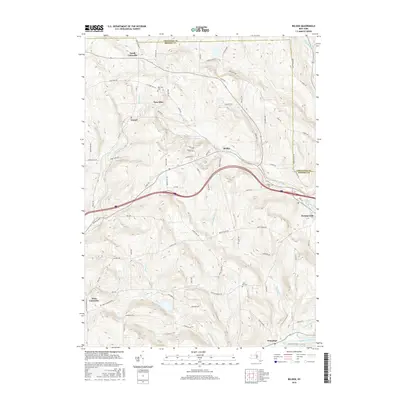
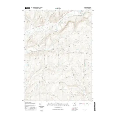
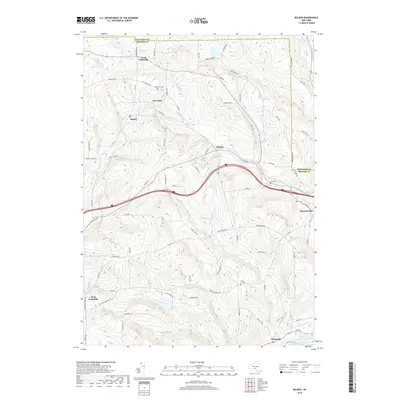
 - 2010 Map of Belden, 2010 Print
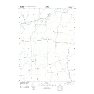
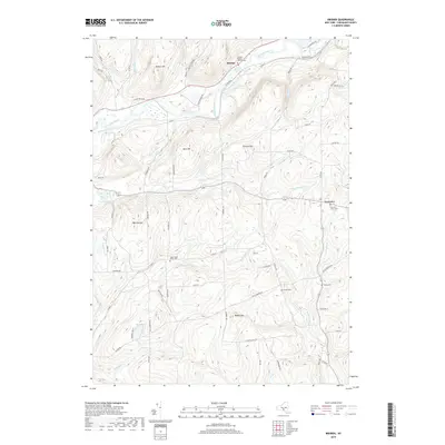
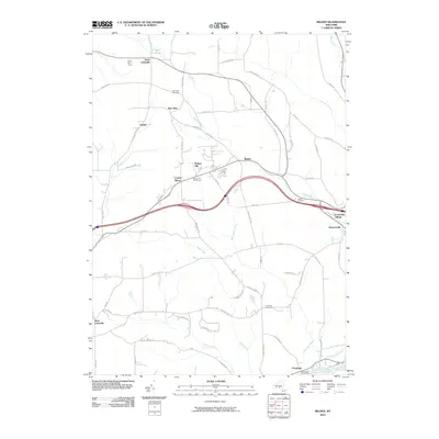 2010 Belden2010 Print · USGSCovers Greene, including Fenton, Windsor, and other nearby areas
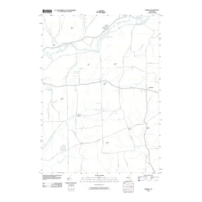
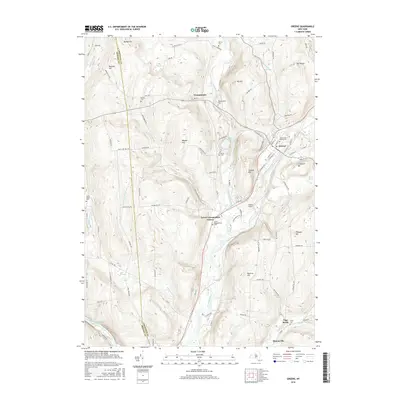
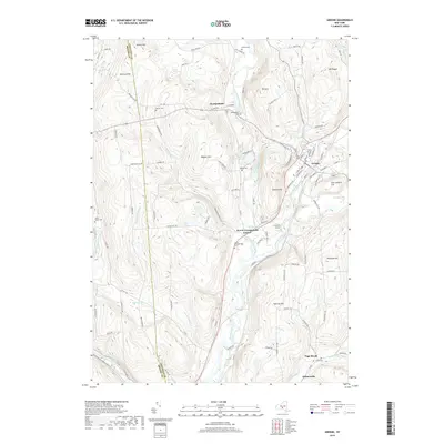
 - 2010 Map of Greene, 2010 Print
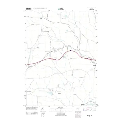
 2010 Greene2010 Print · USGSCovers Greene, including Triangle, Barker, and other nearby areas
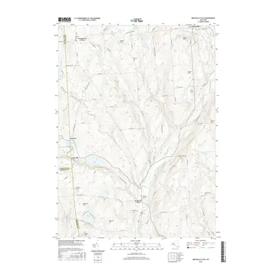
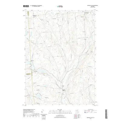
 - 2010 Map of Smithville Flats, 2010 Print
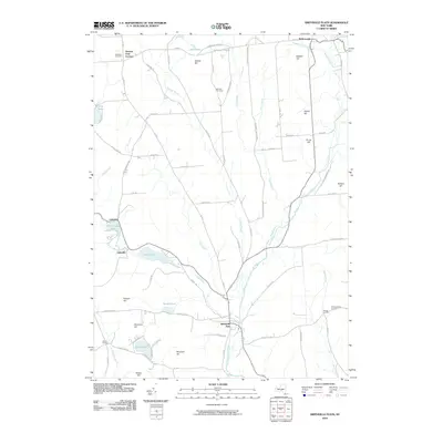 2010 Smithville Flats2010 Print · USGSCovers Greene, including Triangle, Smithville, and other nearby areas
 - 2010 Map of Brisben, 2010 Print
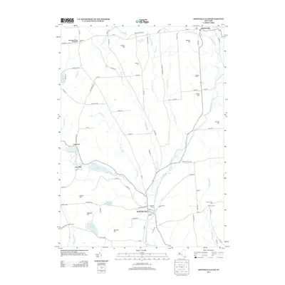
 2010 Brisben2010 Print · USGSCovers Greene, including Oxford, Coventry, and other nearby areas
 - 2013 Map of Tyner, 2013 Print
 2013 Tyner2013 Print · USGSCovers Greene, including Oxford, Smithville, and other nearby areas
 - 2013 Map of Greene, 2013 Print
 2013 Greene2013 Print · USGSCovers Greene, including Triangle, Barker, and other nearby areas
 - 2013 Map of Belden, 2013 Print
 2013 Belden2013 Print · USGSCovers Greene, including Fenton, Windsor, and other nearby areas
 - 2013 Map of Brisben, 2013 Print
 2013 Brisben2013 Print · USGSCovers Greene, including Oxford, Coventry, and other nearby areas
 - 2013 Map of Chenango Forks, 2013 Print
 2013 Chenango Forks2013 Print · USGSCovers Greene, including Chenango, Fenton, and other nearby areas
 - 2013 Map of Smithville Flats, 2013 Print
 2013 Smithville Flats2013 Print · USGSCovers Greene, including Triangle, Smithville, and other nearby areas
 - 2016 Map of Greene, 2016 Print
 2016 Greene2016 Print · USGSCovers Greene, including Triangle, Barker, and other nearby areas
 - 2016 Map of Belden, 2016 Print
 2016 Belden2016 Print · USGSCovers Greene, including Fenton, Windsor, and other nearby areas
 - 2016 Map of Brisben, 2016 Print
 2016 Brisben2016 Print · USGSCovers Greene, including Oxford, Coventry, and other nearby areas
 - 2016 Map of Tyner, 2016 Print
 2016 Tyner2016 Print · USGSCovers Greene, including Oxford, Smithville, and other nearby areas
 - 2016 Map of Smithville Flats, 2016 Print
 2016 Smithville Flats2016 Print · USGSCovers Greene, including Triangle, Smithville, and other nearby areas
 - 2016 Map of Chenango Forks, 2016 Print
 2016 Chenango Forks2016 Print · USGSCovers Greene, including Chenango, Fenton, and other nearby areas
 - 2019 Map of Tyner, 2019 Print
 2019 Tyner2019 Print · USGSCovers Greene, including Oxford, Smithville, and other nearby areas
 - 2019 Map of Brisben, 2019 Print
 2019 Brisben2019 Print · USGSCovers Greene, including Oxford, Coventry, and other nearby areas
 - 2019 Map of Smithville Flats, 2019 Print
 2019 Smithville Flats2019 Print · USGSCovers Greene, including Triangle, Smithville, and other nearby areas
 - 2019 Map of Belden, 2019 Print
 2019 Belden2019 Print · USGSCovers Greene, including Fenton, Windsor, and other nearby areas
 - 2019 Map of Greene, 2019 Print
 2019 Greene2019 Print · USGSCovers Greene, including Triangle, Barker, and other nearby areas
 - 2019 Map of Chenango Forks, 2019 Print
 2019 Chenango Forks2019 Print · USGSCovers Greene, including Chenango, Fenton, and other nearby areas
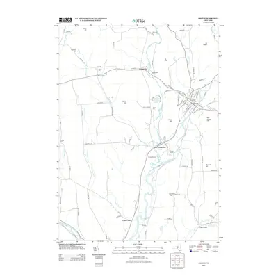
 - 2023 Map of Greene, 2023 Print
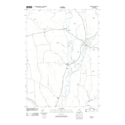
 2023 Greene2023 Print · USGSThe Chenango River valley in the modern era maintains its deep-rooted settlement patterns around Greene. Local historians can trace numerous burial sites like Sylvan Lawn Cem and Morse Cem nestled among landmarks such as Mount Pisgah.
Showing maps 1-25 of 30
Top cities near Greene
- Union historical maps
- Binghamton historical maps
- Vestal historical maps
- Johnson City historical maps
- Chenango historical maps
- Fenton historical maps
See more
Top neighborhoods of Greene
- Fickles Corner historical maps
- Page Brook historical maps
- Brisben historical maps
- Genegantslet historical maps
- Lower Genegantslet Corner historical maps
- Greene historical maps
Frequently asked questions
- What are the different types of historical maps available for Greene?
- What is the oldest map of Greene?
- Where can I purchase historical maps of Greene for my home or office?
- Where can I download high-res historical maps of Greene?
- Are there historical topographic maps available for Greene?
- Is there historical aerial imagery available for Greene?
- Where are historical maps of Greene sourced from?