2000s (21st Century) Maps of Guilford, New York
Explore 25 historic maps of Guilford from the 2000s (21st Century). These maps offer a rare glimpse into what life looked like during the 2000s — showing old roads, neighborhoods, homes, and landmarks that have changed or disappeared over time.
Whether you're researching your family's past, planning a metal detecting trip, or studying how Guilford's landscape evolved across the 2000s, these high-resolution maps are a powerful tool for exploring the history of this region.
- Focus on a specific era: All maps on this page are from the 2000s, giving you a focused view of this time period.
- See what’s changed: Compare century-old streets, trails, and buildings to today's modern landscape using overlays and satellite layers.
- Research with precision: Use these maps for genealogy, historical research, land use analysis, or educational projects.
- View, download, or print: Maps are fully viewable online in high resolution, and can be downloaded or printed for your own records.
Start exploring Guilford's history through authentic maps from the 2000s. This is your window into the past.
Guilford, NY maps
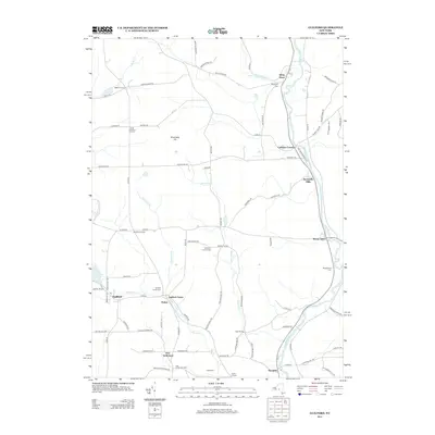
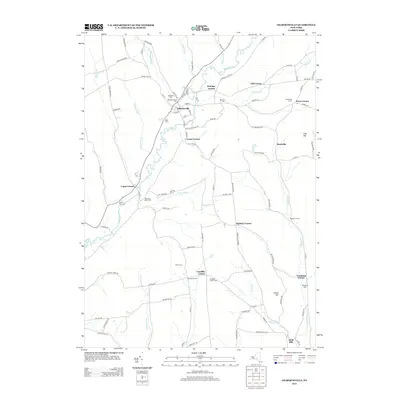
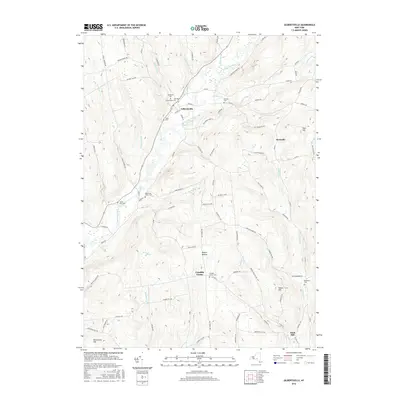
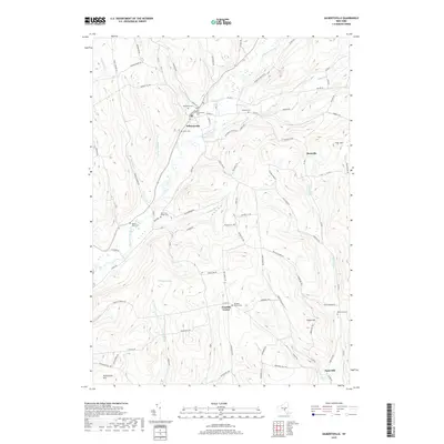
(25)- 2010 Map of Gilbertsville, 2010 Print
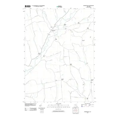 2010 Gilbertsville2010 Print · USGSCovers Guilford, including Unadilla, Otego, and other nearby areas
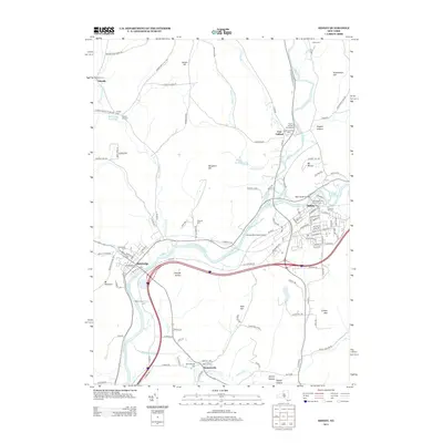
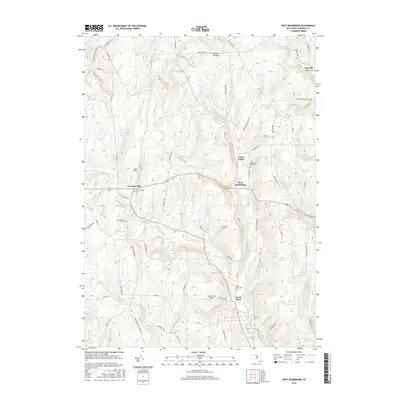
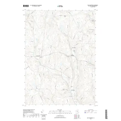
 - 2010 Map of West Bainbridge, 2010 Print
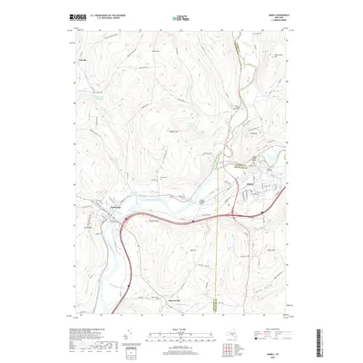
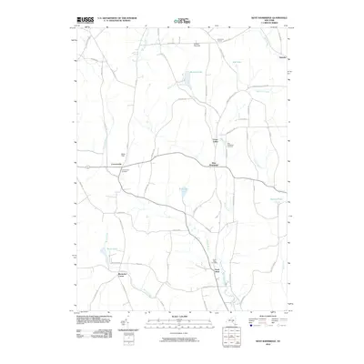 2010 West Bainbridge2010 Print · USGSCovers Guilford, including Oxford, Bainbridge, and other nearby areas
 - 2010 Map of Oxford, 2010 Print
 2010 Oxford2010 Print · USGSCovers Guilford, including Oxford, Norwich, and other nearby areas
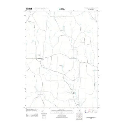
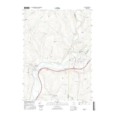
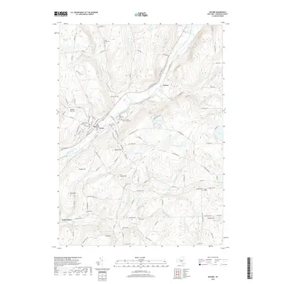
 - 2010 Map of Sidney, 2010 Print
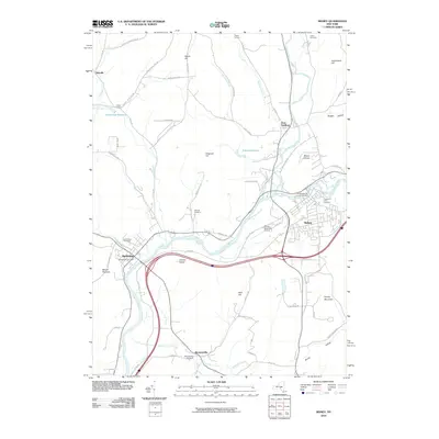 2010 Sidney2010 Print · USGSCovers Guilford, including Sidney, Unadilla, and other nearby areas
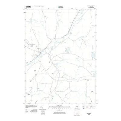
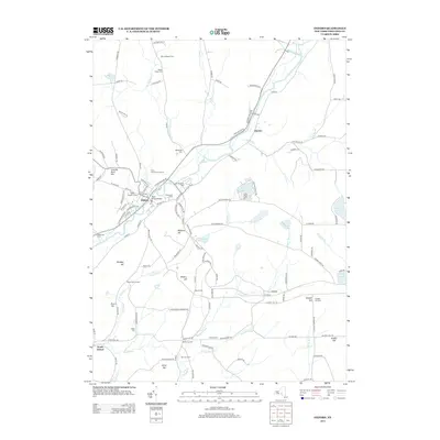
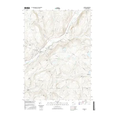
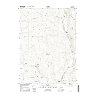
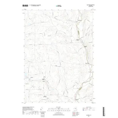
 - 2010 Map of Guilford, 2010 Print
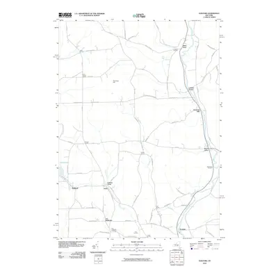 2010 Guilford2010 Print · USGSCovers Guilford, including Unadilla, Norwich, and other nearby areas
 - 2013 Map of West Bainbridge, 2013 Print
 2013 West Bainbridge2013 Print · USGSCovers Guilford, including Oxford, Bainbridge, and other nearby areas
 - 2013 Map of Guilford, 2013 Print
 2013 Guilford2013 Print · USGSCovers Guilford, including Unadilla, Norwich, and other nearby areas
 - 2013 Map of Sidney, 2013 Print
 2013 Sidney2013 Print · USGSCovers Guilford, including Sidney, Unadilla, and other nearby areas
 - 2013 Map of Oxford, 2013 Print
 2013 Oxford2013 Print · USGSCovers Guilford, including Oxford, Norwich, and other nearby areas
 - 2013 Map of Gilbertsville, 2013 Print
 2013 Gilbertsville2013 Print · USGSCovers Guilford, including Unadilla, Otego, and other nearby areas
 - 2016 Map of West Bainbridge, 2016 Print
 2016 West Bainbridge2016 Print · USGSCovers Guilford, including Oxford, Bainbridge, and other nearby areas
 - 2016 Map of Oxford, 2016 Print
 2016 Oxford2016 Print · USGSCovers Guilford, including Oxford, Norwich, and other nearby areas
 - 2016 Map of Gilbertsville, 2016 Print
 2016 Gilbertsville2016 Print · USGSCovers Guilford, including Unadilla, Otego, and other nearby areas
 - 2016 Map of Sidney, 2016 Print
 2016 Sidney2016 Print · USGSCovers Guilford, including Sidney, Unadilla, and other nearby areas
 - 2016 Map of Guilford, 2016 Print
 2016 Guilford2016 Print · USGSCovers Guilford, including Unadilla, Norwich, and other nearby areas
 - 2019 Map of West Bainbridge, 2019 Print
 2019 West Bainbridge2019 Print · USGSCovers Guilford, including Oxford, Bainbridge, and other nearby areas
 - 2019 Map of Guilford, 2019 Print
 2019 Guilford2019 Print · USGSCovers Guilford, including Unadilla, Norwich, and other nearby areas
 - 2019 Map of Oxford, 2019 Print
 2019 Oxford2019 Print · USGSCovers Guilford, including Oxford, Norwich, and other nearby areas
 - 2019 Map of Sidney, 2019 Print
 2019 Sidney2019 Print · USGSCovers Guilford, including Sidney, Unadilla, and other nearby areas
 - 2019 Map of Gilbertsville, 2019 Print
 2019 Gilbertsville2019 Print · USGSCovers Guilford, including Unadilla, Otego, and other nearby areas
 - 2023 Map of Gilbertsville, 2023 Print
 2023 Gilbertsville2023 Print · USGSOtsego County's rural character is preserved in this modern survey of the Gilbertsville and Unadilla Center area. Genealogists can trace family locations through numerous sites like Old Churchyard Cem, Sand Hill, and the secluded Black Ash Bog.
 - 2023 Map of Oxford, 2023 Print
 2023 Oxford2023 Print · USGSChenango County's river-valley settlements are documented here in the early twenty-first century. Researchers can trace family history through dozens of local burial sites, including Saint Joseph Cem, Van Wagenen Cem, and Mason - Packer Cem.
 - 2023 Map of Sidney, 2023 Print
 2023 Sidney2023 Print · USGSChenango County's river valleys and upland forests are captured here in the early twenty-first century as the area's industrial and agricultural history endures. Researchers can trace family sites at Saint Peters Churchyard Cem, navigate the rural roads of Bennettsville, or locate the Sidney Municipal Airport.
 - 2023 Map of West Bainbridge, 2023 Print
 2023 West Bainbridge2023 Print · USGSChenango County's rolling upland valleys and quiet rural crossroads appear in detail in this recent survey. Researchers can locate family burial sites at Coventryville Cem or trace the course of Kelsey Creek past Union Valley and North Afton.
 - 2024 Map of Guilford, 2024 Print
 2024 Guilford2024 Print · USGSThe Unadilla River valley in Chenango County remains a landscape of small hamlets and riverside settlements as seen in this recent survey. Genealogists and local historians can locate many family burial grounds including Evergreen Cem, Godfrey Corners Cem, and the quiet crossroads of Rockwells Mills.
End of results
Showing maps 1-25 of 25
Top cities near Guilford
- Norwich historical maps
- Sidney historical maps
- Greene historical maps
- Walton historical maps
- Colesville historical maps
- Unadilla historical maps
See more
Top neighborhoods of Guilford
- Lathams Corners historical maps
- Parker historical maps
- Rockdale historical maps
- Guilford Center historical maps
- Ives Settlement historical maps
- Yaleville historical maps
See more
Frequently asked questions
- What are the different types of historical maps available for Guilford?
- What is the oldest map of Guilford?
- Where can I purchase historical maps of Guilford for my home or office?
- Where can I download high-res historical maps of Guilford?
- Are there historical topographic maps available for Guilford?
- Is there historical aerial imagery available for Guilford?
- Where are historical maps of Guilford sourced from?