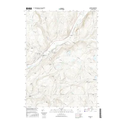
2016 Map of Oxford
USGS Topo · Published 2016About this map
The Chenango River valley serves as the central corridor for this Chenango County landscape, anchoring the village of Oxford and its historic infrastructure. In the village center, the Oxford State Street Bridge connects the riverside communities, while numerous burial grounds like State Street Cem and Saint Joseph's Cem provide significant reference points for genealogical research. Further south along the river, the New York State Veterans Home Cem stands as a notable landmark near South Oxford.
Find a feature on this map
118 named features on this map. Tap any name to fly to it.
Don’t see what you’re looking for? This feature index may not catch every label — zoom into the map to look around manually.
Map Details
Editions of this 2016 Oxford Map
This is the sole edition of this map. No revisions or reprints were ever made.
Other maps of this area

1902 · Coventry
USGS Topo · 1:62,500

1903 · Norwich
USGS Topo · 1:62,500

1904 · Oxford
USGS Topo · 1:62,500

1910 · New Berlin
USGS Topo · 1:62,500

1912 · New Berlin
USGS Topo · 1:62,500

1915 · Unadilla
USGS Topo · 1:62,500

1918 · Unadilla
USGS Topo · 1:62,500

1943 · Sidney
USGS Topo · 1:24,000

1943 · Holmesville
USGS Topo · 1:24,000

1943 · Norwich
USGS Topo · 1:24,000