Old Maps of Smyrna, New York for Metal Detecting
Plan your next treasure hunt with 22 historic maps of Smyrna. Find old homesites, ghost towns, trails, and gathering spots that may be lost to time — perfect for identifying promising metal detecting locations.
- Locate forgotten sites: Uncover places like long-lost settlements, abandoned rail lines, or gathering spots.
- Plan better hunts: Use map overlays combined with LiDAR or satellite views to narrow in on historically rich areas.
- Made for detectorists: Thousands of hobbyists use these maps to discover relics, coins, and hidden history.
Use these historic maps to boost your research and find new opportunities beneath the surface of Smyrna.
Smyrna, NY maps
(22)- 1903 Map of Norwich
 1903 Norwich1903 Print · USGSChenango County at the dawn of the twentieth century was defined by the busy river valleys and rail lines connecting Norwich to Earlville. Researchers can trace the path of the N. Y. O. & W. R. R. through Sherburne Four Corners or locate family-named sites like Irelands Mills and Woods Corners.5 unique versions available
 - 1943 Map of Otselic, 1954 Print
 1943 Otselic1954 Print · USGSChenango County hills and valleys are captured here during the 1940s, showing a landscape of upland farms and remote school districts. Genealogists can trace family footprints near Maple Grove Cem or through small crossroads like Stanbro and Bonney.3 unique versions available
 - 1943 Map of Earlville, 1960 Print
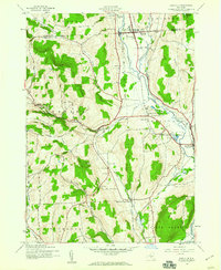 1943 Earlville1960 Print · USGSChenango and Madison counties are captured here during the mid-forties, showing the vital rail corridor through the Chenango River valley. Genealogists can trace family names and rural locations like Smyrna, Quaker Cem, and the abandoned path of the Chenango Canal.2 unique versions available
 - 1943 Map of Norwich, 1975 Print
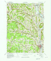 1943 Norwich1975 Print · USGSChenango County and the Chenango River valley are captured here in the 1940s, a time when rail travel still defined the region's economy. Genealogists can trace family names through dozens of rural landmarks, including Maple Grove Cem, Quaker Ch, and numerous numbered schoolhouses like School No 12.
 - 1944 Map of Earlville
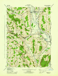 1944 Earlville1944 Print · USGSChenango County's river valley and uplands are captured during the mid-forties as a landscape of rail-connected villages and small rural school districts. Genealogists can locate family landmarks like Wilcox Cem, tracing the paths between Earlville, Smyrna, and the Rogers State Game Farm.
 - 1944 Map of Otselic
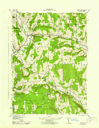 1944 Otselic1944 Print · USGSThe Otselic River valley and the highlands of Chenango County are captured here in the mid-1940s, showing a landscape of small hill farms and dispersed school districts. Researchers can pinpoint family homesteads near Otselic Center, Beaver Meadow, and the Maple Grove Cem.
 - 1944 Map of Norwich, 1960 Print
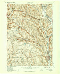 1944 Norwich1960 Print · USGSChenango County communities thrive along the river and rail lines during the mid-forties. Genealogists can locate family sites near Otselic Church, Preston Center, and several rural burial grounds like Slater Cem.2 unique versions available
 - 1948 Map of Binghamton, 1980 Print
 1948 Binghamton1980 Print · USGSCentral New York and the Southern Tier thrive in the late 1940s as a hub of rail traffic and mountain industry. Researchers can trace historic transit lines like the Erie Railroad through Binghamton or find old valley settlements near Oneonta and Delhi.
 - 1950 Map of Binghamton
 1950 Binghamton1950 Print · USGSBinghamton and the surrounding Southern Tier are shown in the mid-century era, highlighting the intricate rail and river networks that drove local industry. Researchers can trace the path of the Erie Railroad and locate landmarks from Otsego Lake to Sidney Mountain.2 unique versions available
 - 1958 Map of Binghamton
 1958 Binghamton1958 Print · USGSCentral New York in the late fifties was a network of manufacturing cities and river valleys connected by vital rail lines. Genealogists and historians can trace family roots in Oneonta, Norwich, and Cooperstown or locate long-standing farms along Schoharie Creek.
 - 1963 Map of Binghamton
 1963 Binghamton1963 Print · USGSThe Southern Tier and Catskill peaks are shown in the early sixties as new reservoirs reshaped the valleys. Trace historic rail corridors like the Erie Lackawanna RR and explore lakeside settlements such as Cooperstown and Oneonta.
 - 1986 Map of Norwich
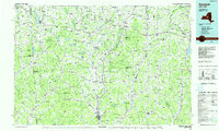 1986 Norwich1986 Print · USGSCentral New York in the mid-eighties was a landscape of deep river valleys and university towns connected by historic rail corridors and state highways. Researchers can trace the rural infrastructure of Norwich and Hamilton, finding landmarks like Colgate University and the Seventh Day Hollow Church.2 unique versions available
 - 2010 Map of Otselic, 2010 Print
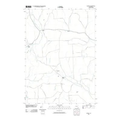 2010 Otselic2010 Print · USGSChenango County’s rural valleys and uplands appear here during the early twenty-first century, centered on the Otselic River. Genealogists can locate family-named landmarks and historical sites like Cole Hill Cemetery, Beaver Meadow, and Stanbro.
 - 2010 Map of Earlville, 2010 Print
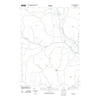 2010 Earlville2010 Print · USGSCentral New York's Chenango Valley is captured here in the early 2000s, showing a landscape of upland ridges and river-bottom settlements. Genealogists and historians can trace local family legacy through burial sites like Quarter Cemetery and Reynolds Cemetery, or locate the Rogers State Game Farm.
 - 2013 Map of Earlville, 2013 Print
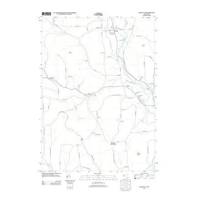 2013 Earlville2013 Print · USGSMadison County's agricultural and river valley communities are meticulously documented in this early twenty-first-century survey. Researchers can trace historic family connections through numerous burial sites like Wilcok Cem or explore the landscape of Smyrna and Earlville.
 - 2013 Map of Otselic, 2013 Print
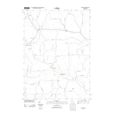 2013 Otselic2013 Print · USGSChenango County's rural uplands are meticulously detailed in this early 21st-century survey of the Otselic valley. Researchers can trace historic family connections through the area's small hamlets and cemeteries, including Beaver Meadow, Stanbro, and Mapple Grove Cem.
 - 2016 Map of Otselic, 2016 Print
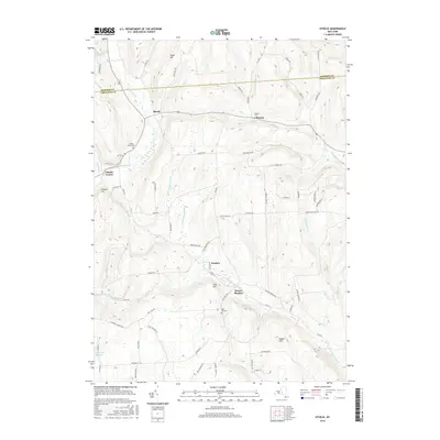 2016 Otselic2016 Print · USGSUpper Chenango County is captured in this mid-2010s survey, showing a landscape of high ridges and winding river valleys. Local historians can trace family locations and community ties through sites like Maple Grove Cem, Beaver Meadow, and the rural hamlet of Stanbro.
 - 2016 Map of Earlville, 2016 Print
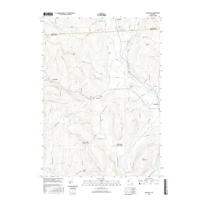 2016 Earlville2016 Print · USGSUpper Chenango County and southern Madison County are documented here in the mid-2010s, showing a landscape of river valleys and upland ridges. Genealogists and historians can trace numerous rural burial sites like Smyrna East Cem and Quarter Cem, or locate landmarks from Morin Airport to Tinker Ridge.
 - 2019 Map of Otselic, 2019 Print
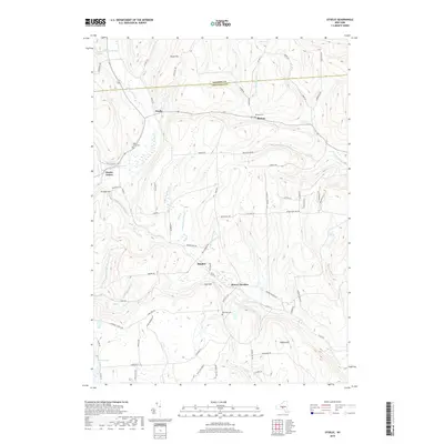 2019 Otselic2019 Print · USGSUpper Chenango County is captured here in 2019, showcasing the high-elevation hamlets and river valleys of the Southern Tier. Genealogists can locate family burial sites at Maple Grove Cem and Cole Hill Cem or trace the rural crossroads of Stanbro and Beaver Meadow.
 - 2019 Map of Earlville, 2019 Print
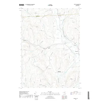 2019 Earlville2019 Print · USGSMadison and Chenango counties meet in this 2019 survey of the river valleys and upland ridges near the village of Earlville. Researchers can trace old family burial sites like Smyrna East Cemetery and Reynolds Cemetery or explore the terrain of Steam Sawmill Hill.
 - 2023 Map of Earlville, 2023 Print
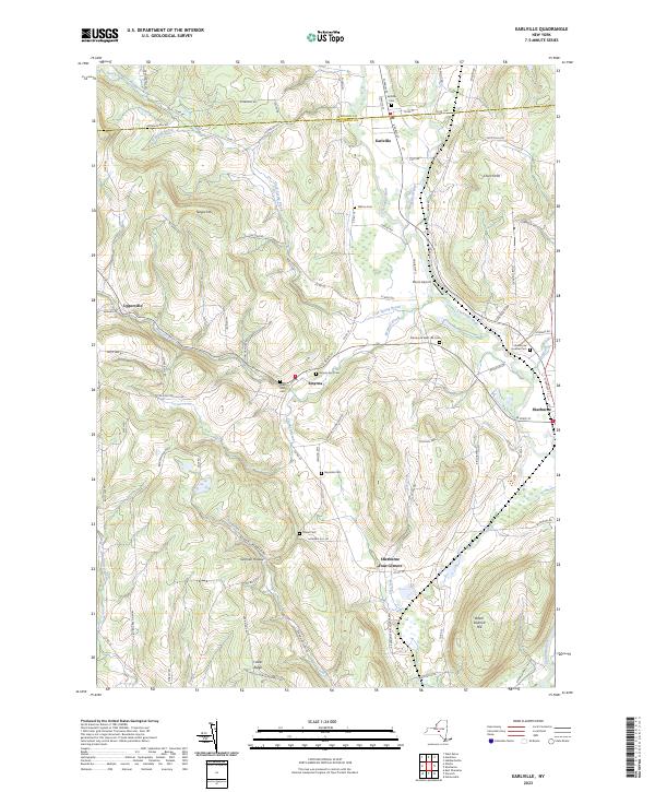 2023 Earlville2023 Print · USGSThe upland ridges and river valleys of Chenango County are captured here in the early twenty-first century, showing the rural character of Earlville and Smyrna. Researchers can trace local heritage through numerous burial grounds like Smyrna East Cem and Sherburne West Hill Cem, or explore family landmarks such as Steam Sawmill Hill.
 - 2023 Map of Otselic, 2023 Print
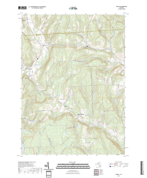 2023 Otselic2023 Print · USGSChenango County's northern highlands are documented in this recent survey, showing the enduring hamlets and high hills of the Otselic valley. Genealogists and hikers can trace the geography around Otselic, Beaver Meadow, and several family burial sites like Cole Hill Cem.
End of results
Showing maps 1-22 of 22
Top cities near Smyrna
- Norwich historical maps
- Cazenovia historical maps
- Hamilton historical maps
- Eaton historical maps
- Hamilton historical maps
- Sherburne historical maps
See more
Top neighborhoods of Smyrna
Frequently asked questions
- What are the different types of historical maps available for Smyrna?
- What is the oldest map of Smyrna?
- Where can I purchase historical maps of Smyrna for my home or office?
- Where can I download high-res historical maps of Smyrna?
- Are there historical topographic maps available for Smyrna?
- Is there historical aerial imagery available for Smyrna?
- Where are historical maps of Smyrna sourced from?