Old Maps of Lyon Mountain, Dannemora for Genealogy
Trace your family roots with 27 historic maps of Lyon Mountain. These high-res maps reveal old neighborhoods, homesites, landmarks, and streets — helping you uncover where your ancestors lived and how the area evolved over time.
- Explore historic neighborhoods: Identify where your relatives may have lived in the 1800s or 1900s.
- Compare maps over time: Trace the changes in streets, buildings, and landmarks for multi-generational research.
- Perfect for genealogy & ancestry research: Used by family historians and researchers to map out lineage and migration.
These maps are an incredible resource for exploring your personal connection to Lyon Mountain's past.
Lyon Mountain, Dannemora maps
(27)- 1911 Map of Lyon Mountain, 1956 Print
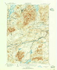 1911 Lyon Mountain1956 Print · USGSThe northern Adirondacks at the peak of the iron era reveal a landscape of mining hamlets and mountain kilns. Genealogists can trace family footprints in Loudell PO, Standish, and Sugarbush, or follow the industrial path of the Delaware and Hudson RR.2 unique versions available
 - 1913 Map of Lyon Mountain
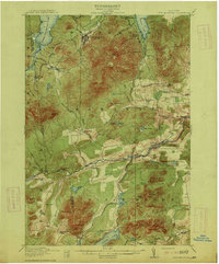 1913 Lyon Mountain1913 Print · USGSThe northern Adirondacks in the pre-war years were a landscape of mountain hamlets and industrial outposts. Genealogists and historians can trace the foundations of Lyon Mountain, locate the Loudell P.O., and follow the Delaware and Hudson RR through the high country.5 unique versions available
 - 1915 Map of Churubusco
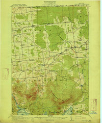 1915 Churubusco1915 Print · USGSNorthern Clinton County is documented here in the early twentieth century, showing a landscape of boundary settlements and mountain lakes. Genealogists can trace family footprints through numerous rural schoolhouses and junctions like Harrigan Corners, Churubusco, and the Halfway House.7 unique versions available
 - 1931 Map of Lyon Mountain
 1931 Lyon Mountain1931 Print · USGSThe northern Adirondack mining and timber lands are shown here in the early 1900s, centered on the heights of Lyon Mountain. Researchers can trace the Chateaugay R.R. as it serves industrial sites like Junction Kilns and the settlement at Standish.
 - 1943 Map of Churubusco
 1943 Churubusco1943 Print · USGSClinton County during the early war years remains a landscape of high summits and rural schoolhouses. Family historians can trace ancestral sites near Churubusco or locate properties along the Rutland line and the Great Chazy River.
 - 1950 Map of Lake Champlain
 1950 Lake Champlain1950 Print · USGSThe Lake Champlain valley and its surrounding peaks are captured in detail during the late 1940s, showing the vital rail and road connections between New York and Vermont. Researchers can trace the routes of the Central Vermont Railway or locate old industrial centers like Mineville and Witherbee.2 unique versions available
 - 1958 Map of Lake Champlain
 1958 Lake Champlain1958 Print · USGSThe Champlain Valley and surrounding high peaks are captured here in the late fifties, showcasing the cross-border region from the Adirondacks to the Green Mountains. Researchers can trace historic rail routes like the Rutland Railway or locate old valley settlements such as Keeseville and Vergennes.2 unique versions available
 - 1962 Map of Lake Champlain, 1975 Print
 1962 Lake Champlain1975 Print · USGSLake Champlain and the high peaks of the Adirondacks and Green Mountains are captured here during the mid-twentieth century. Researchers can trace the industrial legacy of the Lyon Mountain Mine and the rail corridors of the Central Vermont RR and Delaware & Hudson RR.3 unique versions available
 - 1964 Map of Ellenburg Center, 1966 Print
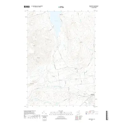
 1964 Ellenburg Center1966 Print · USGSNorthern Clinton County in the 1960s was a landscape where the Adirondack wilderness met the farming communities of the Chazy River valley. Researchers can trace family homesteads near Ellenburg Center and Harrigan, or locate lakefront sites at Merrill and Moffitt Island.
 - 1968 Map of Moffitsville, 1970 Print
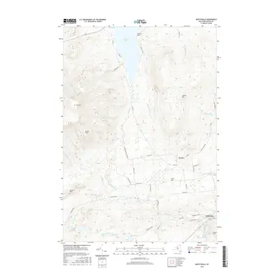
 1968 Moffitsville1970 Print · USGSClinton County’s rugged Adirondack landscape is captured here in the late sixties, where the wilderness of the State Forest Preserve meets small rural outposts. Genealogists and hikers can trace old routes like Napper Rd and locate landmarks from Lyon Mountain to the banks of the Saranac River.
 - 1968 Map of Lyon Mountain, 1970 Print
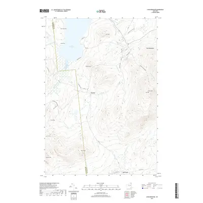
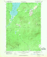 1968 Lyon Mountain1970 Print · USGSAdirondack mining and wilderness intersect in the late sixties as iron works and rail lines define the rugged terrain. Researchers can trace the industrial layout of Lyon Mountain and Standish, from the St Bernards Ch to the sprawling Mine Dumps.
 - 1986 Map of Lake Champlain North
 1986 Lake Champlain North1986 Print · USGSThe Lake Champlain borderlands in the mid-1980s show a mix of mountain villages and busy island shorelines. Researchers can trace the Delaware and Hudson RR through Plattsburgh or locate old rural sites like Mooers Forks and St Josephs Cem.2 unique versions available
 - 2010 Map of Ellenburg Center, 2010 Print
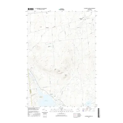
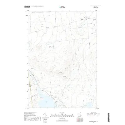
 2010 Ellenburg Center2010 Print · USGSCovers Lyon Mountain, including Dannemora, Ellenburg, and other nearby areas
 - 2010 Map of Moffitsville, 2010 Print
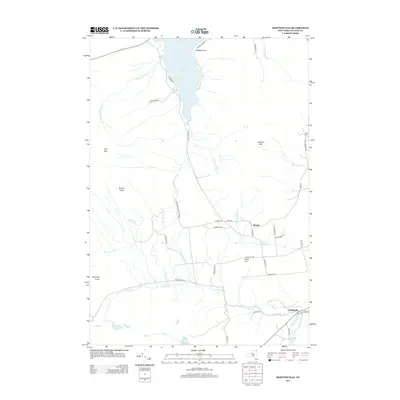
 2010 Moffitsville2010 Print · USGSCovers Lyon Mountain, including Dannemora, Saranac, and other nearby areas
 - 2010 Map of Lyon Mountain, 2010 Print
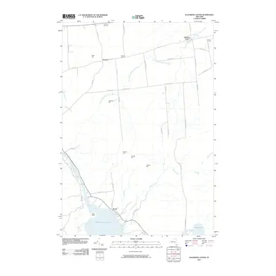
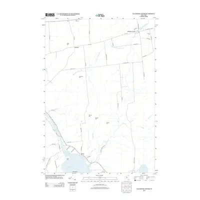
 2010 Lyon Mountain2010 Print · USGSCovers Lyon Mountain, including Dannemora, Saranac, and other nearby areas
 - 2013 Map of Lyon Mountain, 2013 Print
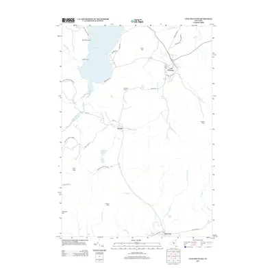 2013 Lyon Mountain2013 Print · USGSCovers Lyon Mountain, including Dannemora, Saranac, and other nearby areas
 - 2013 Map of Ellenburg Center, 2013 Print
 2013 Ellenburg Center2013 Print · USGSCovers Lyon Mountain, including Dannemora, Ellenburg, and other nearby areas
 - 2013 Map of Moffitsville, 2013 Print
 2013 Moffitsville2013 Print · USGSCovers Lyon Mountain, including Dannemora, Saranac, and other nearby areas
 - 2016 Map of Moffitsville, 2016 Print
 2016 Moffitsville2016 Print · USGSCovers Lyon Mountain, including Dannemora, Saranac, and other nearby areas
 - 2016 Map of Ellenburg Center, 2016 Print
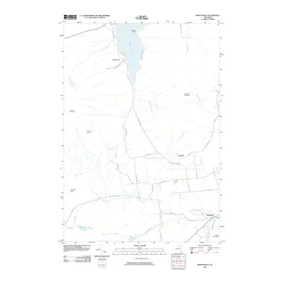
 2016 Ellenburg Center2016 Print · USGSCovers Lyon Mountain, including Dannemora, Ellenburg, and other nearby areas
 - 2016 Map of Lyon Mountain, 2016 Print
 2016 Lyon Mountain2016 Print · USGSCovers Lyon Mountain, including Dannemora, Saranac, and other nearby areas
 - 2019 Map of Ellenburg Center, 2019 Print
 2019 Ellenburg Center2019 Print · USGSCovers Lyon Mountain, including Dannemora, Ellenburg, and other nearby areas
 - 2019 Map of Lyon Mountain, 2019 Print
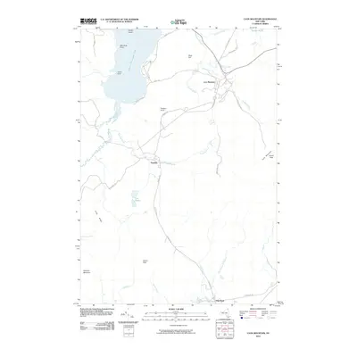
 2019 Lyon Mountain2019 Print · USGSCovers Lyon Mountain, including Dannemora, Saranac, and other nearby areas
 - 2019 Map of Moffitsville, 2019 Print
 2019 Moffitsville2019 Print · USGSCovers Lyon Mountain, including Dannemora, Saranac, and other nearby areas
 - 2023 Map of Lyon Mountain, 2023 Print
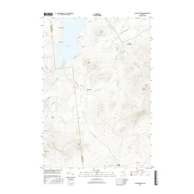
 2023 Lyon Mountain2023 Print · USGSThe Adirondack highlands around the Clinton and Franklin county line are shown here in the 2020s, centered on the historic mining and timber settlements. Trace the local terrain from Upper Chateaugay Lake to the summits of Averill Peak and Norton Peak.
Showing maps 1-25 of 27
Top cities near Lyon Mountain
- Plattsburgh historical maps
- Peru historical maps
- Beekmantown historical maps
- Schuyler Falls historical maps
- Dannemora historical maps
- Saranac historical maps
See more
Top neighborhoods of Lyon Mountain
Frequently asked questions
- What are the different types of historical maps available for Lyon Mountain?
- What is the oldest map of Lyon Mountain?
- Where can I purchase historical maps of Lyon Mountain for my home or office?
- Where can I download high-res historical maps of Lyon Mountain?
- Are there historical topographic maps available for Lyon Mountain?
- Is there historical aerial imagery available for Lyon Mountain?
- Where are historical maps of Lyon Mountain sourced from?