Old Maps of Russia, Saranac for Hiking & Exploration
Hike through history with 13 historic maps of Russia. Explore old trails, ghost towns, and forgotten backroads — perfect for outdoor adventurers and local explorers.
- Rediscover forgotten places: Map out old mining camps, roads, and footpaths that no longer exist on modern maps.
- Layer with modern tools: Combine with LiDAR or satellite views to plan hikes through historical terrain.
- Made for exploration: Popular among hikers, overlanders, and local history lovers.
Use these maps to find adventure and explore the hidden past of Russia.
Russia, Saranac maps
(13)- 1911 Map of Lyon Mountain, 1956 Print
 1911 Lyon Mountain1956 Print · USGSThe northern Adirondacks at the peak of the iron era reveal a landscape of mining hamlets and mountain kilns. Genealogists can trace family footprints in Loudell PO, Standish, and Sugarbush, or follow the industrial path of the Delaware and Hudson RR.2 unique versions available
 - 1913 Map of Lyon Mountain
 1913 Lyon Mountain1913 Print · USGSThe northern Adirondacks in the pre-war years were a landscape of mountain hamlets and industrial outposts. Genealogists and historians can trace the foundations of Lyon Mountain, locate the Loudell P.O., and follow the Delaware and Hudson RR through the high country.5 unique versions available
 - 1931 Map of Lyon Mountain
 1931 Lyon Mountain1931 Print · USGSThe northern Adirondack mining and timber lands are shown here in the early 1900s, centered on the heights of Lyon Mountain. Researchers can trace the Chateaugay R.R. as it serves industrial sites like Junction Kilns and the settlement at Standish.
 - 1950 Map of Lake Champlain
 1950 Lake Champlain1950 Print · USGSThe Lake Champlain valley and its surrounding peaks are captured in detail during the late 1940s, showing the vital rail and road connections between New York and Vermont. Researchers can trace the routes of the Central Vermont Railway or locate old industrial centers like Mineville and Witherbee.2 unique versions available
 - 1958 Map of Lake Champlain
 1958 Lake Champlain1958 Print · USGSThe Champlain Valley and surrounding high peaks are captured here in the late fifties, showcasing the cross-border region from the Adirondacks to the Green Mountains. Researchers can trace historic rail routes like the Rutland Railway or locate old valley settlements such as Keeseville and Vergennes.2 unique versions available
 - 1962 Map of Lake Champlain, 1975 Print
 1962 Lake Champlain1975 Print · USGSLake Champlain and the high peaks of the Adirondacks and Green Mountains are captured here during the mid-twentieth century. Researchers can trace the industrial legacy of the Lyon Mountain Mine and the rail corridors of the Central Vermont RR and Delaware & Hudson RR.3 unique versions available
 - 1968 Map of Moffitsville, 1970 Print
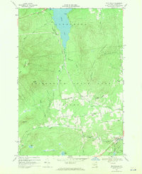 1968 Moffitsville1970 Print · USGSClinton County’s rugged Adirondack landscape is captured here in the late sixties, where the wilderness of the State Forest Preserve meets small rural outposts. Genealogists and hikers can trace old routes like Napper Rd and locate landmarks from Lyon Mountain to the banks of the Saranac River.
 - 1986 Map of Lake Champlain North
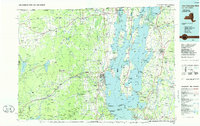 1986 Lake Champlain North1986 Print · USGSThe Lake Champlain borderlands in the mid-1980s show a mix of mountain villages and busy island shorelines. Researchers can trace the Delaware and Hudson RR through Plattsburgh or locate old rural sites like Mooers Forks and St Josephs Cem.2 unique versions available
 - 2010 Map of Moffitsville, 2010 Print
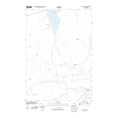 2010 Moffitsville2010 Print · USGSClinton County’s rugged interior is captured here as it appeared in 2010, showing the lakefront settlement of Chazy Lake and the Adirondack Park woods. Researchers can trace the Old Rail Road Bed and family-named roads near Russia and Moffitsville.
 - 2013 Map of Moffitsville, 2013 Print
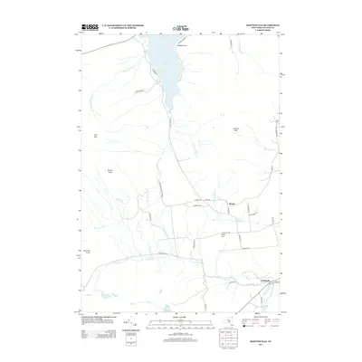 2013 Moffitsville2013 Print · USGSClinton County’s high country near the dawn of the twenty-first century is defined by its mountain peaks and the waters of the Adirondack Preserve. Researchers can trace rural lineages through local landmarks like Russia, Moffitsville, and the shores of Chazy Lake.
 - 2016 Map of Moffitsville, 2016 Print
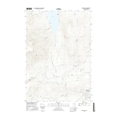 2016 Moffitsville2016 Print · USGSClinton County’s interior terrain and the rural settlements of the Adirondacks are captured here in the mid-2010s. Researchers can trace the path of the Old Railroad Bed and locate family landmarks near Russia, Moffitsville, and Chazy Lake.
 - 2019 Map of Moffitsville, 2019 Print
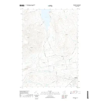 2019 Moffitsville2019 Print · USGSClinton County in the late twenty-teens remains a landscape of high peaks and historic rail corridors on the edge of the wilderness. Genealogists and historians can trace the roads around Russia and Moffitsville or locate landmarks like Chazy Lake and the Old Rail Road Bed.
 - 2023 Map of Moffitsville, 2023 Print
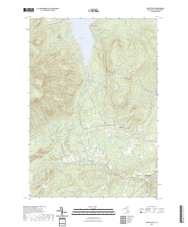 2023 Moffitsville2023 Print · USGSThe Adirondack wilderness of Clinton County is shown here in the 2020s, highlighting the peaks and waters surrounding the old mining hub of Lyon Mountain. Researchers can trace historical transit lines like the Old Rail Road Bed and local landmarks such as Clark Hill and Chazy Lake.
End of results
Showing maps 1-13 of 13
Top cities near Russia
- Plattsburgh historical maps
- Peru historical maps
- Beekmantown historical maps
- Schuyler Falls historical maps
- Dannemora historical maps
- Saranac historical maps
See more
Frequently asked questions
- What are the different types of historical maps available for Russia?
- What is the oldest map of Russia?
- Where can I purchase historical maps of Russia for my home or office?
- Where can I download high-res historical maps of Russia?
- Are there historical topographic maps available for Russia?
- Is there historical aerial imagery available for Russia?
- Where are historical maps of Russia sourced from?