2000s (21st Century) Maps of Kinderhook, New York
Explore 10 historic maps of Kinderhook from the 2000s (21st Century). These maps offer a rare glimpse into what life looked like during the 2000s — showing old roads, neighborhoods, homes, and landmarks that have changed or disappeared over time.
Whether you're researching your family's past, planning a metal detecting trip, or studying how Kinderhook's landscape evolved across the 2000s, these high-resolution maps are a powerful tool for exploring the history of this region.
- Focus on a specific era: All maps on this page are from the 2000s, giving you a focused view of this time period.
- See what’s changed: Compare century-old streets, trails, and buildings to today's modern landscape using overlays and satellite layers.
- Research with precision: Use these maps for genealogy, historical research, land use analysis, or educational projects.
- View, download, or print: Maps are fully viewable online in high resolution, and can be downloaded or printed for your own records.
Start exploring Kinderhook's history through authentic maps from the 2000s. This is your window into the past.
Kinderhook, NY maps
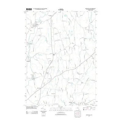
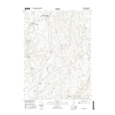
(10)- 2010 Map of Stottville, 2010 Print
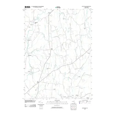 2010 Stottville2010 Print · USGSCovers Kinderhook, including Claverack, Ghent, and other nearby areas
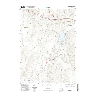
 - 2010 Map of Kinderhook, 2010 Print
 2010 Kinderhook2010 Print · USGSCovers Kinderhook, including Schodack, Nassau, and other nearby areas
 - 2013 Map of Stottville, 2013 Print
 2013 Stottville2013 Print · USGSCovers Kinderhook, including Claverack, Ghent, and other nearby areas
 - 2013 Map of Kinderhook, 2013 Print
 2013 Kinderhook2013 Print · USGSCovers Kinderhook, including Schodack, Nassau, and other nearby areas
 - 2016 Map of Stottville, 2016 Print
 2016 Stottville2016 Print · USGSCovers Kinderhook, including Claverack, Ghent, and other nearby areas
 - 2016 Map of Kinderhook, 2016 Print
 2016 Kinderhook2016 Print · USGSCovers Kinderhook, including Schodack, Nassau, and other nearby areas
 - 2019 Map of Stottville, 2019 Print
 2019 Stottville2019 Print · USGSCovers Kinderhook, including Claverack, Ghent, and other nearby areas
 - 2019 Map of Kinderhook, 2019 Print
 2019 Kinderhook2019 Print · USGSCovers Kinderhook, including Schodack, Nassau, and other nearby areas
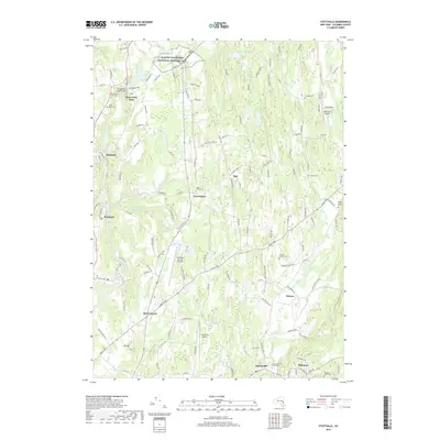
 - 2023 Map of Stottville, 2023 Print
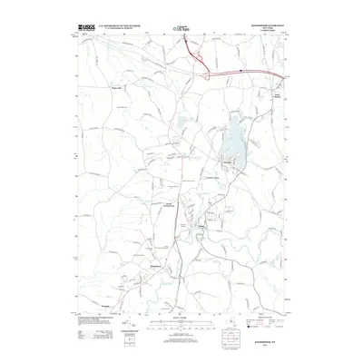
 2023 Stottville2023 Print · USGSStuyvesant Falls and the surrounding Columbia County hills are shown in this modern survey. Genealogists can trace family heritage through sites like Snyder Cem and Saint Marys Cem, or locate landmarks such as Brick Tavern.
 - 2023 Map of Kinderhook, 2023 Print
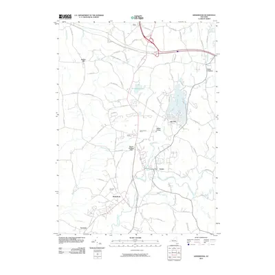
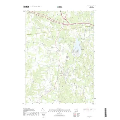
 2023 Kinderhook2023 Print · USGSUpper Columbia County settlements and winding waterways define this region south of the Rensselaer line. Researchers can trace the layout of Kinderhook and Valatie, while locating family history at North Chatham Cem and Woodlawn Cem.
End of results
Showing maps 1-10 of 10
Top cities near Kinderhook
- Albany historical maps
- Bethlehem historical maps
- East Greenbush historical maps
- North Greenbush historical maps
- Schodack historical maps
- Catskill historical maps
See more
Top neighborhoods of Kinderhook
Frequently asked questions
- What are the different types of historical maps available for Kinderhook?
- What is the oldest map of Kinderhook?
- Where can I purchase historical maps of Kinderhook for my home or office?
- Where can I download high-res historical maps of Kinderhook?
- Are there historical topographic maps available for Kinderhook?
- Is there historical aerial imagery available for Kinderhook?
- Where are historical maps of Kinderhook sourced from?