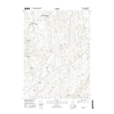
2016 Map of Stottville
USGS Topo · Published 2016About this map
Martin Van Buren National Historic Site anchors the northern portion of this Columbia County landscape, preserved near the winding path of Kinderhook Creek. The settlement pattern reflects the area’s industrial and agricultural roots, with concentrated centers at Stuyvesant Falls and Stottville along the waterways. Further south, the map details the rural character of communities like Brick Tavern and Pulvers, while the larger villages of Philmont and Mellenville sit at the southern edge.
Find a feature on this map
127 named features on this map. Tap any name to fly to it.
Don’t see what you’re looking for? This feature index may not catch every label — zoom into the map to look around manually.
Map Details
Editions of this 2016 Stottville Map
This is the sole edition of this map. No revisions or reprints were ever made.
Other maps of this area

1893 · Coxsackie
USGS Topo · 1:62,500

1894 · Coxsackie
USGS Topo · 1:62,500

1895 · Catskill
USGS Topo · 1:62,500

1902 · Copake
USGS Topo · 1:62,500

1903 · Kinderhook
USGS Topo · 1:62,500

1904 · Copake
USGS Topo · 1:62,500

1929 · Coxsackie
USGS Topo · 1:62,500

1933 · Kinderhook
USGS Topo · 1:62,500

1934 · Catskill
USGS Topo · 1:62,500

1938 · Catskill
USGS Topo · 1:62,500