2000s (21st Century) Maps of Preble, New York
Explore 20 historic maps of Preble from the 2000s (21st Century). These maps offer a rare glimpse into what life looked like during the 2000s — showing old roads, neighborhoods, homes, and landmarks that have changed or disappeared over time.
Whether you're researching your family's past, planning a metal detecting trip, or studying how Preble's landscape evolved across the 2000s, these high-resolution maps are a powerful tool for exploring the history of this region.
- Focus on a specific era: All maps on this page are from the 2000s, giving you a focused view of this time period.
- See what’s changed: Compare century-old streets, trails, and buildings to today's modern landscape using overlays and satellite layers.
- Research with precision: Use these maps for genealogy, historical research, land use analysis, or educational projects.
- View, download, or print: Maps are fully viewable online in high resolution, and can be downloaded or printed for your own records.
Start exploring Preble's history through authentic maps from the 2000s. This is your window into the past.
Preble, NY maps
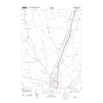
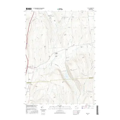
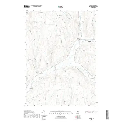
(20)- 2010 Map of Truxton, 2010 Print
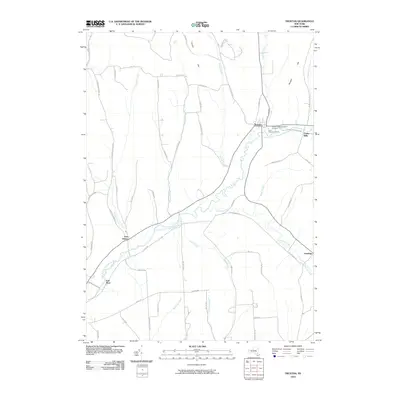 2010 Truxton2010 Print · USGSCovers Preble, including Cortlandville, Homer, and other nearby areas
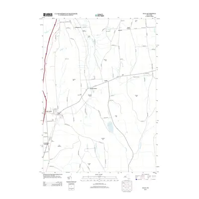
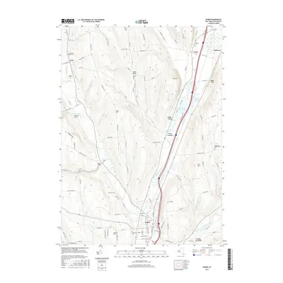
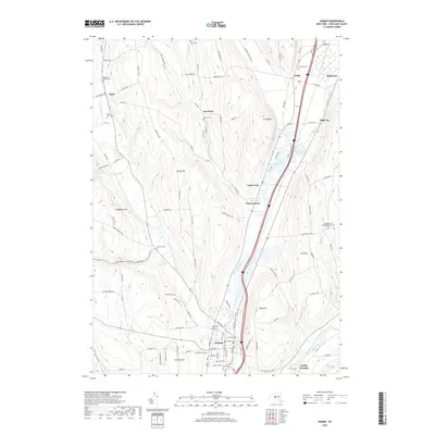
 - 2010 Map of Homer, 2010 Print
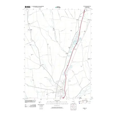 2010 Homer2010 Print · USGSCovers Preble, including Cortlandville, Homer, and other nearby areas
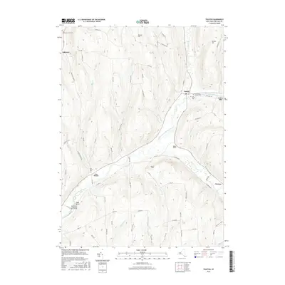
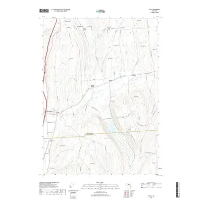
 - 2010 Map of Tully, 2010 Print
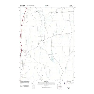 2010 Tully2010 Print · USGSCovers Preble, including Pompey, LaFayette, and other nearby areas
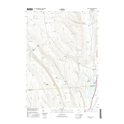
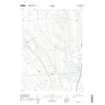
 - 2010 Map of Otisco Valley, 2010 Print
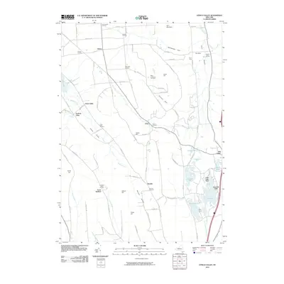 2010 Otisco Valley2010 Print · USGSCovers Preble, including LaFayette, Tully, and other nearby areas
 - 2013 Map of Homer, 2013 Print
 2013 Homer2013 Print · USGSCovers Preble, including Cortlandville, Homer, and other nearby areas
 - 2013 Map of Tully, 2013 Print
 2013 Tully2013 Print · USGSCovers Preble, including Pompey, LaFayette, and other nearby areas
 - 2013 Map of Truxton, 2013 Print
 2013 Truxton2013 Print · USGSCovers Preble, including Cortlandville, Homer, and other nearby areas
 - 2013 Map of Otisco Valley, 2013 Print
 2013 Otisco Valley2013 Print · USGSCovers Preble, including LaFayette, Tully, and other nearby areas
 - 2016 Map of Otisco Valley, 2016 Print
 2016 Otisco Valley2016 Print · USGSCovers Preble, including LaFayette, Tully, and other nearby areas
 - 2016 Map of Truxton, 2016 Print
 2016 Truxton2016 Print · USGSCovers Preble, including Cortlandville, Homer, and other nearby areas
 - 2016 Map of Homer, 2016 Print
 2016 Homer2016 Print · USGSCovers Preble, including Cortlandville, Homer, and other nearby areas
 - 2016 Map of Tully, 2016 Print
 2016 Tully2016 Print · USGSCovers Preble, including Pompey, LaFayette, and other nearby areas
 - 2019 Map of Truxton, 2019 Print
 2019 Truxton2019 Print · USGSCovers Preble, including Cortlandville, Homer, and other nearby areas
 - 2019 Map of Homer, 2019 Print
 2019 Homer2019 Print · USGSCovers Preble, including Cortlandville, Homer, and other nearby areas
 - 2019 Map of Tully, 2019 Print
 2019 Tully2019 Print · USGSCovers Preble, including Pompey, LaFayette, and other nearby areas
 - 2019 Map of Otisco Valley, 2019 Print
 2019 Otisco Valley2019 Print · USGSCovers Preble, including LaFayette, Tully, and other nearby areas
 - 2023 Map of Tully, 2023 Print
 2023 Tully2023 Print · USGSThe Tully and Apulia valley region is captured here in the early twenty-first century, showing the enduring rural character of southern Onondaga County. Researchers can trace historic burial sites like Saint Leo's Cem and Miles Cem or explore the drainage of Labrador Creek and Fabius Brook.
 - 2023 Map of Otisco Valley, 2023 Print
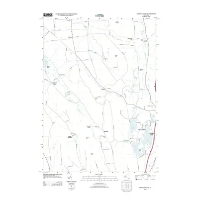
 2023 Otisco Valley2023 Print · USGSThe hill country of central New York south of Syracuse is captured here in modern detail. Researchers can locate numerous family-history sites like The West Cem and Spafford Hollow Cem near the shores of Otisco Lake.
 - 2023 Map of Truxton, 2023 Print
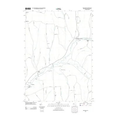
 2023 Truxton2023 Print · USGSTruxton and the surrounding Cortland County valleys are captured here in the early twenty-first century, showing the enduring hamlets along the East Branch Tioughnioga River. Researchers can locate family sites near Saint Patricks Cem, East Homer, and the historic Crains Mills.
 - 2023 Map of Homer, 2023 Print
 2023 Homer2023 Print · USGSThe Tioughnioga River valley in the early twenty-first century remains a landscape of glacial lakes and tight-knit hamlets. Genealogists can trace family lines across numerous burial sites like Seven Day Baptist Cem and settlements such as Slab City or Pratt Corners.
End of results
Showing maps 1-20 of 20
Top cities near Preble
- Onondaga historical maps
- Cortland historical maps
- Dryden historical maps
- Cortlandville historical maps
- Skaneateles historical maps
- Pompey historical maps
See more
Top neighborhoods of Preble
Frequently asked questions
- What are the different types of historical maps available for Preble?
- What is the oldest map of Preble?
- Where can I purchase historical maps of Preble for my home or office?
- Where can I download high-res historical maps of Preble?
- Are there historical topographic maps available for Preble?
- Is there historical aerial imagery available for Preble?
- Where are historical maps of Preble sourced from?