2010s Maps of Masonville, New York
Explore 24 historic maps of Masonville from the 2010s. These maps offer a rare glimpse into what life looked like during the 2010s — showing old roads, neighborhoods, homes, and landmarks that have changed or disappeared over time.
Whether you're researching your family's past, planning a metal detecting trip, or studying how Masonville's landscape evolved across the 2010s, these high-resolution maps are a powerful tool for exploring the history of this region.
- Focus on a specific era: All maps on this page are from the 2010s, giving you a focused view of this time period.
- See what’s changed: Compare century-old streets, trails, and buildings to today's modern landscape using overlays and satellite layers.
- Research with precision: Use these maps for genealogy, historical research, land use analysis, or educational projects.
- View, download, or print: Maps are fully viewable online in high resolution, and can be downloaded or printed for your own records.
Start exploring Masonville's history through authentic maps from the 2010s. This is your window into the past.
Masonville, NY maps
(24)- 2010 Map of Franklin, 2010 Print
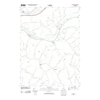 2010 Franklin2010 Print · USGSDelaware County at the turn of the millennium remains a landscape of high ridges and deep creek valleys. Genealogists and local historians can trace family-named locations like Lawton Hill, Johnson Hill, and the historic Ouleout Valley Cemetery.
 - 2010 Map of North Sanford, 2010 Print
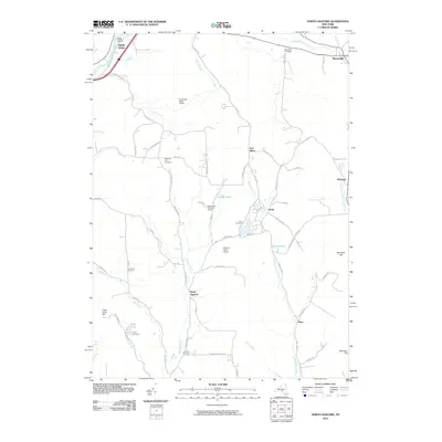 2010 North Sanford2010 Print · USGSThe rural borderlands of Chenango and Broome Counties are documented here as they appeared in the early 21st century. Researchers can locate remote burial sites like Melondy Hill Cemetery and trace the waters of Oquaga Creek near Arctic.
 - 2010 Map of Unadilla, 2010 Print
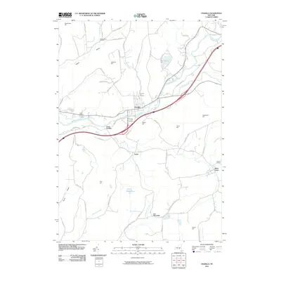 2010 Unadilla2010 Print · USGSThe Susquehanna River valley and surrounding Delaware County highlands are mapped here just after the turn of the millennium. Researchers can trace rural lineages through numerous burial sites like Evergreen Hill Cemetery, Rogers Hollow, and Sidney Center.
 - 2010 Map of Trout Creek, 2010 Print
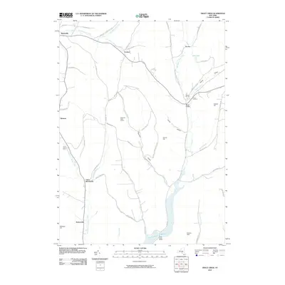 2010 Trout Creek2010 Print · USGSDelaware County at the start of the twenty-first century reveals a landscape shaped by hollows and the northern reach of the reservoir system. Genealogists and local historians can trace family locations near Masonville or locate the Austin Cemetery and Carroll Cemetery.
 - 2010 Map of Walton West, 2010 Print
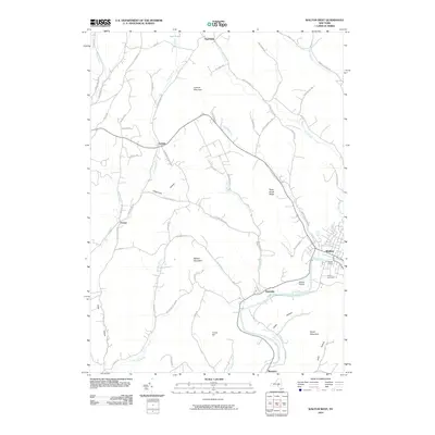 2010 Walton West2010 Print · USGSDelaware County’s river valleys and ridgelines are shown here in the years following the turn of the millennium. Researchers can trace rural settlement patterns from Walton and Beerston to family-named landmarks like Walton Grange and the Walton Cemetery.
 - 2010 Map of Sidney, 2010 Print
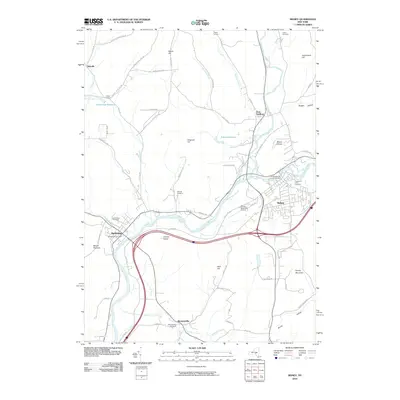 2010 Sidney2010 Print · USGSThe Susquehanna and Unadilla rivers meet here in the early twenty-first century, a landscape where river-valley industry and upland farming coexist. Researchers can trace local lineage across several burial sites, including Greenlawn Cemetery and Presbyterian Cemetery, or locate the rural hamlet of Bennettsville.
 - 2013 Map of Sidney, 2013 Print
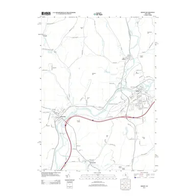 2013 Sidney2013 Print · USGSThe river valleys of Delaware County are shown in great detail during the early 2010s, capturing the communities of Sidney and Bainbridge. Local researchers can trace family histories through numerous sites like Prospect Hill Cem, Bennettsville, and the Congregational Church Cem.
 - 2013 Map of Franklin, 2013 Print
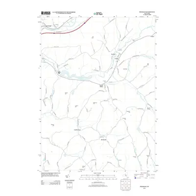 2013 Franklin2013 Print · USGSThe village of Franklin and the surrounding Delaware County highlands are shown here in the early twenty-first century. Genealogists and local historians can trace family locations near Franklin Depot, Merrickville, and the Ouleout Valley Cem.
 - 2013 Map of Unadilla, 2013 Print
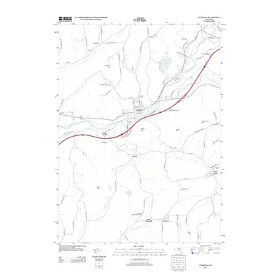 2013 Unadilla2013 Print · USGSThe Susquehanna River valley near the Delaware County line is shown here in the early twenty-first century as modern interstates meet historic village centers. Researchers can trace family roots at Evergreen Hill Cem or locate the Unadilla Drive-In and Olmstead Landing Strip Airport.
 - 2013 Map of North Sanford, 2013 Print
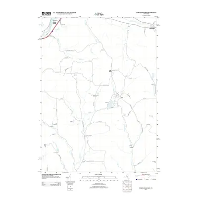 2013 North Sanford2013 Print · USGSThe rural valleys and uplands of Chenango and Delaware Counties are captured here in the early twenty-first century. Genealogists and local historians can locate remote family burial sites like China Road Cem and Lord Road Cem or trace the early paths of State Forest Truck Trl.
 - 2013 Map of Trout Creek, 2013 Print
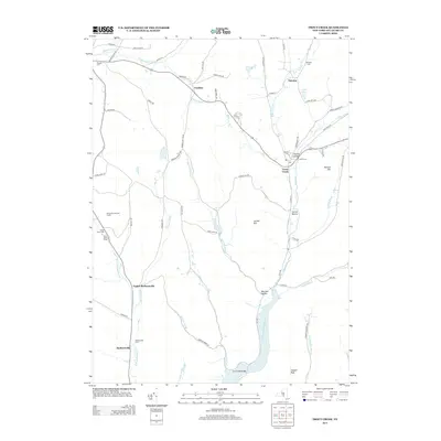 2013 Trout Creek2013 Print · USGSDelaware County hamlets and the northern reaches of the Cannonsville Reservoir are documented in this early twenty-first-century survey. Researchers can locate numerous local burial sites including Austin Cem and Pioneer Cem while tracing the winding paths of Sherruck Brook and Trout Cr.
 - 2013 Map of Walton West, 2013 Print
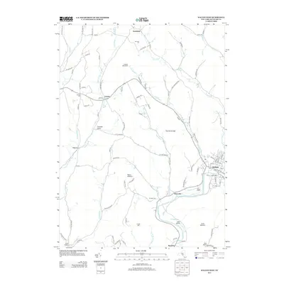 2013 Walton West2013 Print · USGSDelaware County in the early twenty-first century remains defined by its steep peaks and the winding W Br Delaware River. Researchers can trace old family names and rural hubs from Walton to Beerston, including Walton Grange and Northfield Cem.
 - 2016 Map of Sidney, 2016 Print
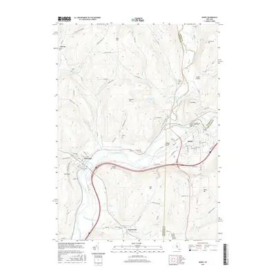 2016 Sidney2016 Print · USGSSidney and Bainbridge sit at a strategic river junction in the mid-2010s, where three counties meet along the Susquehanna. Researchers can trace family history through the Congregational Church Cem or locate old homesteads near Rogers Hollow and Bennettsville.
 - 2016 Map of Unadilla, 2016 Print
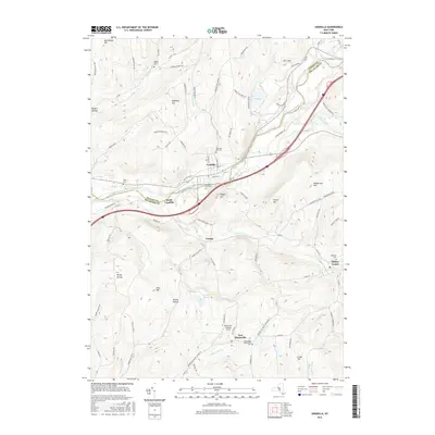 2016 Unadilla2016 Print · USGSUpper Susquehanna Valley life is preserved here in the mid-2010s, centered on the historic river crossing at Unadilla. Genealogists can trace family roots through several rural burial grounds like Evergreen Hill Cem and Rogers Hollow Cem.
 - 2016 Map of Walton West, 2016 Print
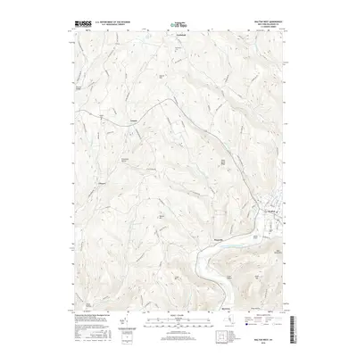 2016 Walton West2016 Print · USGSDelaware County’s upland terrain and river valleys are captured here in the mid-2010s, showing a landscape shaped by the West Branch Delaware River. Genealogists and local historians can trace family locations near Northfield, Pinesville, and Beerston, or locate rural burial sites at Windfall Cem.
 - 2016 Map of North Sanford, 2016 Print
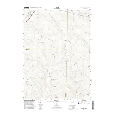 2016 North Sanford2016 Print · USGSThe rural uplands of the New York Southern Tier are captured here at the meeting of three counties. Local historians can trace family roots through numerous burial sites like Anthony Cem and explore small hamlets such as North Sanford and Masonville.
 - 2016 Map of Trout Creek, 2016 Print
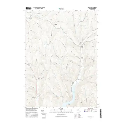 2016 Trout Creek2016 Print · USGSDelaware County’s rural valleys and watersheds are shown here in the mid-2010s, centered on the northern reaches of the Cannonsville Reservoir. Researchers can trace local lineages through family burial sites like Olmsted Cem and Austin Cem or explore the hamlets of Ivanhoe and Tacoma.
 - 2016 Map of Franklin, 2016 Print
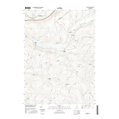 2016 Franklin2016 Print · USGSDelaware County's rural valleys and ridges come into focus in the mid-2010s, centered on the historic village of Franklin. Researchers can trace old family names and burial sites at Ouleout Valley Cem, Barnes Cem, and the hamlet of Franklin Depot.
 - 2019 Map of Unadilla, 2019 Print
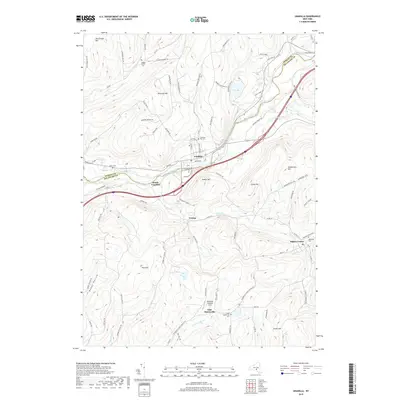 2019 Unadilla2019 Print · USGSThe upper Susquehanna River valley and the Otsego-Delaware county line are shown here in great detail during the late twenty-teens. Genealogists can trace family connections through numerous sites like Evergreen Hill Cem, Sidney Center, and Rogers Hollow Cem.
 - 2019 Map of Walton West, 2019 Print
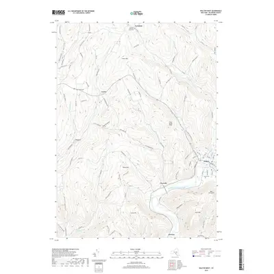 2019 Walton West2019 Print · USGSDelaware County at the end of the 2010s shows a landscape of deep river valleys and high ridges centered on the village of Walton. Genealogists can locate family sites near Northfield Community Church Cem, the hamlet of Beerston, and the ridges of Pines Brook Ridge.
 - 2019 Map of Trout Creek, 2019 Print
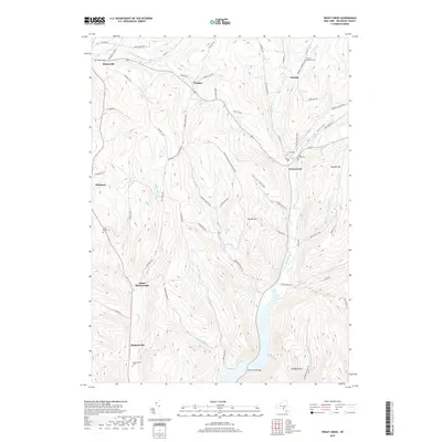 2019 Trout Creek2019 Print · USGSDelaware County's rural character is preserved in this late 2010s survey of the hollows and peaks near Masonville. Researchers can trace ancestral lines through numerous family burial sites, including the Pioneer Cem, Trout Creek Cem, and Camp Brace Cem.
 - 2019 Map of Franklin, 2019 Print
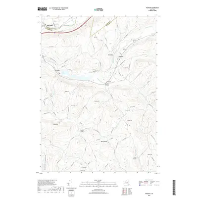 2019 Franklin2019 Print · USGSDelaware County highlands are captured here in the late twenty-tens, showing the rural networks connecting Franklin and Wells Bridge. Genealogists can locate family sites at Ouleout Valley Cem or trace the old rail heritage at Franklin Depot.
 - 2019 Map of North Sanford, 2019 Print
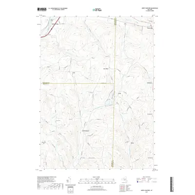 2019 North Sanford2019 Print · USGSThe tri-county border of Broome, Chenango, and Delaware comes into focus in this recent survey of New York's southern tier. Local historians can trace old homesteads and family plots at China Road Cemetery, Arctic, and Middle Bridge along the Susquehanna.
 - 2019 Map of Sidney, 2019 Print
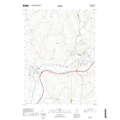 2019 Sidney2019 Print · USGSThe Susquehanna Valley at the meeting of the Otsego, Chenango, and Delaware county lines is detailed here in recent years. Researchers can trace family plots at Saint Peters Churchyard Cem or locate the historic Pioneer Cem near the Main Street Bridge.
End of results
Showing maps 1-24 of 24
Top cities near Masonville
- Oneonta historical maps
- Sidney historical maps
- Walton historical maps
- Oneonta historical maps
- Colesville historical maps
- Unadilla historical maps
See more
Top neighborhoods of Masonville
- Tacoma historical maps
- Whitman historical maps
- East Masonville historical maps
- Ivanhoe historical maps
- Arctic historical maps
Frequently asked questions
- What are the different types of historical maps available for Masonville?
- What is the oldest map of Masonville?
- Where can I purchase historical maps of Masonville for my home or office?
- Where can I download high-res historical maps of Masonville?
- Are there historical topographic maps available for Masonville?
- Is there historical aerial imagery available for Masonville?
- Where are historical maps of Masonville sourced from?