2000s (21st Century) Maps of Milan, New York
Explore 20 historic maps of Milan from the 2000s (21st Century). These maps offer a rare glimpse into what life looked like during the 2000s — showing old roads, neighborhoods, homes, and landmarks that have changed or disappeared over time.
Whether you're researching your family's past, planning a metal detecting trip, or studying how Milan's landscape evolved across the 2000s, these high-resolution maps are a powerful tool for exploring the history of this region.
- Focus on a specific era: All maps on this page are from the 2000s, giving you a focused view of this time period.
- See what’s changed: Compare century-old streets, trails, and buildings to today's modern landscape using overlays and satellite layers.
- Research with precision: Use these maps for genealogy, historical research, land use analysis, or educational projects.
- View, download, or print: Maps are fully viewable online in high resolution, and can be downloaded or printed for your own records.
Start exploring Milan's history through authentic maps from the 2000s. This is your window into the past.
Milan, NY maps
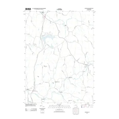
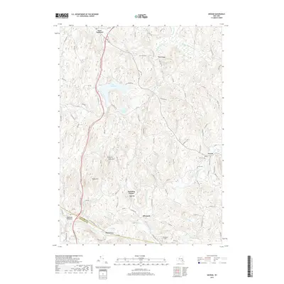
(20)- 2010 Map of Ancram, 2010 Print
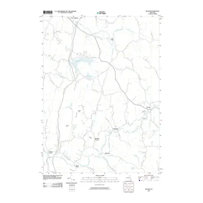 2010 Ancram2010 Print · USGSCovers Milan, including Livingston, Pine Plains, and other nearby areas
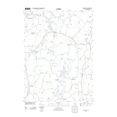
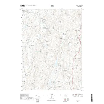
 - 2010 Map of Rock City, 2010 Print
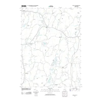 2010 Rock City2010 Print · USGSCovers Milan, including Hyde Park, Red Hook, and other nearby areas
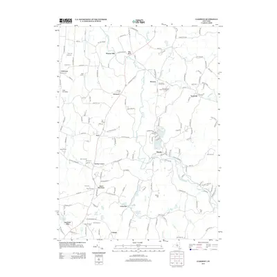
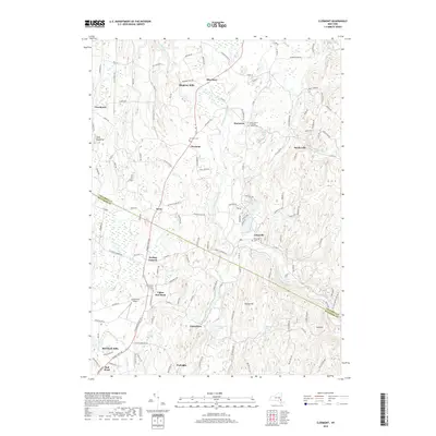
 - 2010 Map of Clermont, 2010 Print
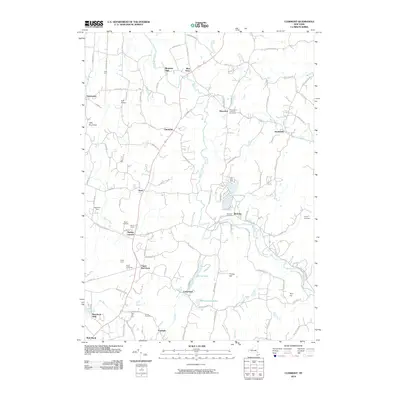 2010 Clermont2010 Print · USGSCovers Milan, including Red Hook, Livingston, and other nearby areas
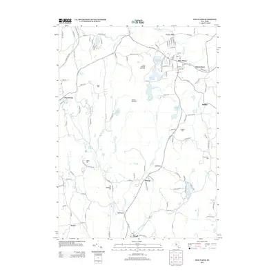
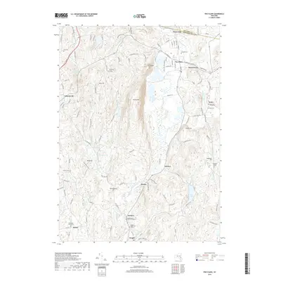
 - 2010 Map of Pine Plains, 2010 Print
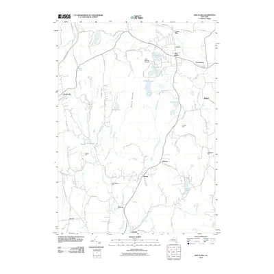 2010 Pine Plains2010 Print · USGSCovers Milan, including Stanford, North East, and other nearby areas
 - 2013 Map of Ancram, 2013 Print
 2013 Ancram2013 Print · USGSCovers Milan, including Livingston, Pine Plains, and other nearby areas
 - 2013 Map of Clermont, 2013 Print
 2013 Clermont2013 Print · USGSCovers Milan, including Red Hook, Livingston, and other nearby areas
 - 2013 Map of Pine Plains, 2013 Print
 2013 Pine Plains2013 Print · USGSCovers Milan, including Stanford, North East, and other nearby areas
 - 2013 Map of Rock City, 2013 Print
 2013 Rock City2013 Print · USGSCovers Milan, including Hyde Park, Red Hook, and other nearby areas
 - 2016 Map of Pine Plains, 2016 Print
 2016 Pine Plains2016 Print · USGSCovers Milan, including Stanford, North East, and other nearby areas
 - 2016 Map of Ancram, 2016 Print
 2016 Ancram2016 Print · USGSCovers Milan, including Livingston, Pine Plains, and other nearby areas
 - 2016 Map of Rock City, 2016 Print
 2016 Rock City2016 Print · USGSCovers Milan, including Hyde Park, Red Hook, and other nearby areas
 - 2016 Map of Clermont, 2016 Print
 2016 Clermont2016 Print · USGSCovers Milan, including Red Hook, Livingston, and other nearby areas
 - 2019 Map of Ancram, 2019 Print
 2019 Ancram2019 Print · USGSCovers Milan, including Livingston, Pine Plains, and other nearby areas
 - 2019 Map of Clermont, 2019 Print
 2019 Clermont2019 Print · USGSCovers Milan, including Red Hook, Livingston, and other nearby areas
 - 2019 Map of Pine Plains, 2019 Print
 2019 Pine Plains2019 Print · USGSCovers Milan, including Stanford, North East, and other nearby areas
 - 2019 Map of Rock City, 2019 Print
 2019 Rock City2019 Print · USGSCovers Milan, including Hyde Park, Red Hook, and other nearby areas
 - 2023 Map of Rock City, 2023 Print
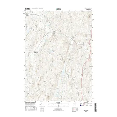
 2023 Rock City2023 Print · USGSDutchess County in the early twenty-first century reveals a landscape deeply rooted in its rural past, from the Old Rhinebeck Airport to scattered hamlets. Genealogists can trace family names through numerous small plots like the Teats Cem and Rowe Burial Ground.
 - 2023 Map of Clermont, 2023 Print
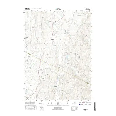
 2023 Clermont2023 Print · USGSThe rural borderlands of Columbia and Dutchess counties come into focus in this contemporary survey. Historians can trace the winding Roeliff Jansen Kill past Bingham Mills and Blue Store, or locate legacy burial sites like the Saint John's Church Cem.
 - 2023 Map of Pine Plains, 2023 Print
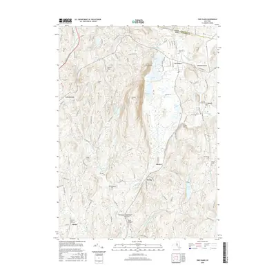
 2023 Pine Plains2023 Print · USGSIn the Hudson Valley uplands during the early twenty-first century, this area shows a landscape of long-established hamlets and family burial sites. Trace genealogy and local history at the Wirehouse Burial Ground, Hammertown, and Pachin Mills.
 - 2023 Map of Ancram, 2023 Print
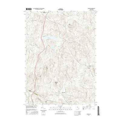
 2023 Ancram2023 Print · USGSSpanning the border of Columbia and Dutchess counties in 2023, this terrain shows the persistent rural character of the Hudson Highlands. Researchers can locate Union Cem, trace the Roeliff Jansen Kill, and explore historic hamlets like Spaulding Furnace.
End of results
Showing maps 1-20 of 20
Top cities near Milan
- Kingston historical maps
- Hyde Park historical maps
- Saugerties historical maps
- Ulster historical maps
- Catskill historical maps
- Lloyd historical maps
See more
Top neighborhoods of Milan
Frequently asked questions
- What are the different types of historical maps available for Milan?
- What is the oldest map of Milan?
- Where can I purchase historical maps of Milan for my home or office?
- Where can I download high-res historical maps of Milan?
- Are there historical topographic maps available for Milan?
- Is there historical aerial imagery available for Milan?
- Where are historical maps of Milan sourced from?