Old Maps of Lafayetteville, Milan for Academic Research
Study the evolution of Lafayetteville with 16 high-resolution historic maps. Whether you're teaching, researching, or modeling changes in land use, these maps provide essential visual documentation of urban, environmental, and geographic change.
- Analyze long-term change: Track patterns in development, transportation, and natural features.
- Ideal for environmental or urban studies: Support academic projects with primary historical map data.
- Use in the classroom or lab: Educators and researchers rely on these maps to bring historical context to life.
These maps are a powerful tool for teaching, research, and visualizing how Lafayetteville has changed over the decades.
Lafayetteville, Milan maps
(16)- 1899 Map of Millbrook, 1956 Print
 1899 Millbrook1956 Print · USGSDutchess County enters a period of high rail connectivity in the late nineteenth century, as iron and agriculture drive local growth. Genealogists and historians can trace the paths of four railroads through hamlets like Millerton, Bangall, and Amenia Union.
 - 1902 Map of Millbrook
 1902 Millbrook1902 Print · USGSEastern Dutchess County at the turn of the century was a bustling corridor of intersecting railroads and valley settlements. Genealogists and rail historians can trace the paths of the Central New England R. R. and find local landmarks like Lithgow, Shekomeko, and Hammertown.10 unique versions available
 - 1947 Map of Hartford, 1955 Print
 1947 Hartford1955 Print · USGSSouthern New England and the Hudson Valley are shown in detail during the post-war expansion era. Genealogists and researchers can trace local landmarks from the State Capitol and Yale University to the Stratford Lighthouse and Woodlawn Cem.2 unique versions available
 - 1948 Map of Hartford
 1948 Hartford1948 Print · USGSSouthern New England is captured here in the late 1940s, showcasing a landscape of thriving industrial cities and developing parkways. Genealogists and historians can trace the rail networks of the New York New Haven and Hartford RR or locate coastal defense sites like Fort Terry and Camp Shanks.2 unique versions available
 - 1948 Map of Pine Plains
 1948 Pine Plains1948 Print · USGSMid-century Dutchess County is captured here in a moment of quiet transition, showing the rural landscape before modern development. Genealogists can locate family-named landmarks like Pachin Mills, Old Attlebury, and rural schoolhouses such as Bear Market Sch.
 - 1960 Map of Pine Plains, 1963 Print
 1960 Pine Plains1963 Print · USGSNorthern Dutchess County remains a landscape of glacial lakes and mountain ridges in the early sixties. Genealogists and local historians can trace family-named sites like Conklin Hill or locate the Church of the Regeneration and Evergreen Cem in Pine Plains.4 unique versions available
 - 1961 Map of Hartford
 1961 Hartford1961 Print · USGSSouthern New England and the Hudson Valley are shown here in the mid-fifties, capturing a landscape of booming coastal cities and interior hill towns. Researchers can trace the legacy of the New York New Haven and Hartford rail corridor and find strategic sites like Camp Shanks and Fort Michie.
 - 1962 Map of Hartford, 1971 Print
 1962 Hartford1971 Print · USGSSouthern New England and the Hudson Valley are shown in the early sixties, as suburban growth reached into the foothills. Trace the path of the New York New Haven & Hartford RR and find landmarks like Camp Nathan Hale and Gillette Castle State Park.3 unique versions available
 - 1965 Map of Hartford
 1965 Hartford1965 Print · USGSSouthern New England and the Hudson Valley are shown here during the mid-sixties expansion of the Interstate era. Trace the path of the New York New Haven & Hartford RR or locate historic landmarks like West Point Military Reservation and the Merritt Parkway.2 unique versions available
 - 1985 Map of Waterbury, 1986 Print
 1985 Waterbury1986 Print · USGSThe Western Connecticut highlands and the Hudson Valley are captured in the mid-1980s, showing a landscape of deep forests and industrial river towns. Genealogists can trace family connections from Waterbury up through Litchfield and Torrington, while exploring the vast Barkhamsted Reservoir and Candlewood Lake basins.
 - 1993 Map of Waterbury
 1993 Waterbury1993 Print · USGSWestern Connecticut and the Hudson Valley appear in the early nineties as a landscape of established industrial cities and deep forest preserves. Researchers can trace the rail corridors of the Metro-North Railroad or locate family sites near the Taft School and Riverside Cemetery.
 - 2010 Map of Pine Plains, 2010 Print
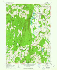
 2010 Pine Plains2010 Print · USGSCovers Lafayetteville, including Stanford, North East, and other nearby areas
 - 2013 Map of Pine Plains, 2013 Print
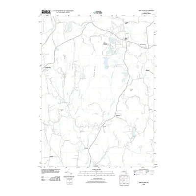
 2013 Pine Plains2013 Print · USGSCovers Lafayetteville, including Stanford, North East, and other nearby areas
 - 2016 Map of Pine Plains, 2016 Print
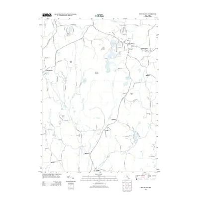
 2016 Pine Plains2016 Print · USGSCovers Lafayetteville, including Stanford, North East, and other nearby areas
 - 2019 Map of Pine Plains, 2019 Print
 2019 Pine Plains2019 Print · USGSCovers Lafayetteville, including Stanford, North East, and other nearby areas
 - 2023 Map of Pine Plains, 2023 Print
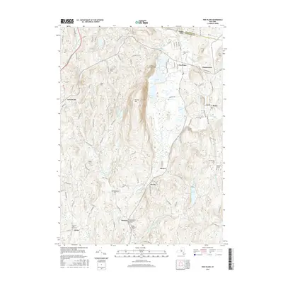
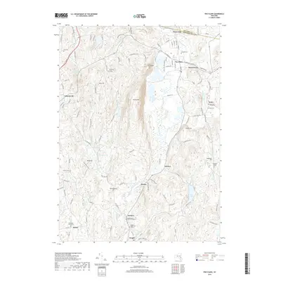
 2023 Pine Plains2023 Print · USGSIn the Hudson Valley uplands during the early twenty-first century, this area shows a landscape of long-established hamlets and family burial sites. Trace genealogy and local history at the Wirehouse Burial Ground, Hammertown, and Pachin Mills.
End of results
Showing maps 1-16 of 16
Top cities near Lafayetteville
- Poughkeepsie historical maps
- Kingston historical maps
- Hyde Park historical maps
- Saugerties historical maps
- Ulster historical maps
- Catskill historical maps
See more
Frequently asked questions
- What are the different types of historical maps available for Lafayetteville?
- What is the oldest map of Lafayetteville?
- Where can I purchase historical maps of Lafayetteville for my home or office?
- Where can I download high-res historical maps of Lafayetteville?
- Are there historical topographic maps available for Lafayetteville?
- Is there historical aerial imagery available for Lafayetteville?
- Where are historical maps of Lafayetteville sourced from?