1900s (20th Century) Maps of Erie County, New York
Explore 106 historic maps of Erie County from the 1900s (20th Century). These maps offer a rare glimpse into what life looked like during the 1900s — showing old roads, neighborhoods, homes, and landmarks that have changed or disappeared over time.
Whether you're researching your family's past, planning a metal detecting trip, or studying how Erie County's landscape evolved across the 1900s, these high-resolution maps are a powerful tool for exploring the history of this region.
- Focus on a specific era: All maps on this page are from the 1900s, giving you a focused view of this time period.
- See what’s changed: Compare century-old streets, trails, and buildings to today's modern landscape using overlays and satellite layers.
- Research with precision: Use these maps for genealogy, historical research, land use analysis, or educational projects.
- View, download, or print: Maps are fully viewable online in high resolution, and can be downloaded or printed for your own records.
Start exploring Erie County's history through authentic maps from the 1900s. This is your window into the past.
Erie County, NY maps
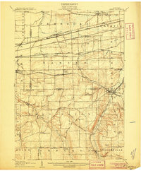
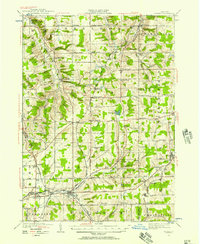
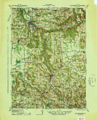
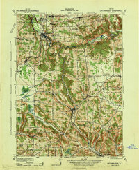
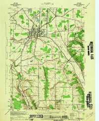
(106)- 1900 Map of Tonawanda
 1900 Tonawanda1900 Print · USGSCovers Erie County, including Amherst, Niagara Falls, and other nearby areas
 - 1900 Map of Niagara Falls, 1961 Print
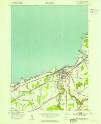
 1900 Niagara Falls1961 Print · USGSCovers Erie County, including St. Catharines, Niagara Falls, and other nearby areas4 unique versions available
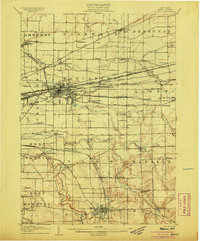
 - 1901 Map of Buffalo
 1901 Buffalo1901 Print · USGSCovers Erie County, including Buffalo, Amherst, and other nearby areas12 unique versions available
 - 1901 Map of Niagara Falls
 1901 Niagara Falls1901 Print · USGSCovers Erie County, including St. Catharines, Niagara Falls, and other nearby areas11 unique versions available
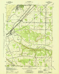
 - 1901 Map of Tonawanda
 1901 Tonawanda1901 Print · USGSCovers Erie County, including Amherst, Niagara Falls, and other nearby areas7 unique versions available
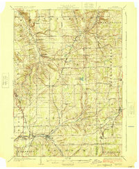
 - 1902 Map of Lockport
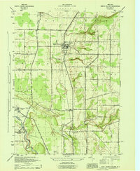
 1902 Lockport1902 Print · USGSCovers Erie County, including Amherst, Clarence, and other nearby areas6 unique versions available
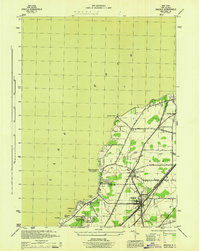
 - 1905 Map of Attica
 1905 Attica1905 Print · USGSCovers Erie County, including Alden, Newstead, and other nearby areas5 unique versions available
 - 1905 Map of Depew
 1905 Depew1905 Print · USGSCovers Erie County, including Amherst, Cheektowaga, and other nearby areas6 unique versions available
 - 1905 Map of Lockport, 1906 Print
 1905 Lockport1906 Print · USGSCovers Erie County, including Amherst, Clarence, and other nearby areas
 - 1905 Map of Eden, 1961 Print
 1905 Eden1961 Print · USGSCovers Erie County, including Hamburg, Orchard Park, and other nearby areas
 - 1907 Map of Eden
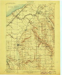 1907 Eden1907 Print · USGSCovers Erie County, including Hamburg, Orchard Park, and other nearby areas4 unique versions available
 - 1923 Map of Cattaraugus
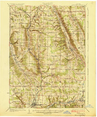
 1923 Cattaraugus1923 Print · USGSCovers Erie County, including Concord, Collins, and other nearby areas4 unique versions available
 - 1923 Map of Arcade, 1957 Print
 1923 Arcade1957 Print · USGSCovers Erie County, including Arcade, Yorkshire, and other nearby areas2 unique versions available
 - 1924 Map of Ellicottville
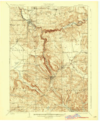
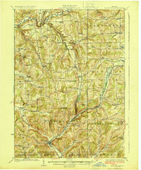 1924 Ellicottville1924 Print · USGSCovers Erie County, including Concord, Springville, and other nearby areas3 unique versions available
 - 1925 Map of Springville
 1925 Springville1925 Print · USGSCovers Erie County, including Orchard Park, Aurora, and other nearby areas5 unique versions available
 - 1925 Map of Arcade
 1925 Arcade1925 Print · USGSCovers Erie County, including Arcade, Yorkshire, and other nearby areas4 unique versions available
 - 1938 Map of Cattaraugus
 1938 Cattaraugus1938 Print · USGSCovers Erie County, including Concord, Collins, and other nearby areas
 - 1941 Map of Cattaraugus
 1941 Cattaraugus1941 Print · USGSCovers Erie County, including Concord, Collins, and other nearby areas
 - 1941 Map of Ellicottville
 1941 Ellicottville1941 Print · USGSCovers Erie County, including Concord, Springville, and other nearby areas
 - 1943 Map of Silver Creek, 1953 Print
 1943 Silver Creek1953 Print · USGSCovers Erie County, including Hanover, Silver Creek, and other nearby areas
 - 1944 Map of Eden
 1944 Eden1944 Print · USGSCovers Erie County, including Hamburg, Orchard Park, and other nearby areas
 - 1944 Map of North Collins
 1944 North Collins1944 Print · USGSCovers Erie County, including Evans, Eden, and other nearby areas
 - 1944 Map of Hamburg
 1944 Hamburg1944 Print · USGSCovers Erie County, including Hamburg, Orchard Park, and other nearby areas
 - 1944 Map of Angola
 1944 Angola1944 Print · USGSCovers Erie County, including Evans, Highland-on-the-Lake, and other nearby areas
 - 1944 Map of Farnham
 1944 Farnham1944 Print · USGSCovers Erie County, including Evans, Hanover, and other nearby areas
Showing maps 1-25 of 106
Top cities of Erie County
- Buffalo historical maps
- Amherst historical maps
- Cheektowaga historical maps
- Tonawanda historical maps
- Hamburg historical maps
- West Seneca historical maps
See more
Frequently asked questions
- What are the different types of historical maps available for Erie County?
- What is the oldest map of Erie County?
- Where can I purchase historical maps of Erie County for my home or office?
- Where can I download high-res historical maps of Erie County?
- Are there historical topographic maps available for Erie County?
- Is there historical aerial imagery available for Erie County?
- Where are historical maps of Erie County sourced from?