2000s (21st Century) Maps of Elma Center, Elma
Explore 10 historic maps of Elma Center from the 2000s (21st Century). These maps offer a rare glimpse into what life looked like during the 2000s — showing old roads, neighborhoods, homes, and landmarks that have changed or disappeared over time.
Whether you're researching your family's past, planning a metal detecting trip, or studying how Elma Center's landscape evolved across the 2000s, these high-resolution maps are a powerful tool for exploring the history of this region.
- Focus on a specific era: All maps on this page are from the 2000s, giving you a focused view of this time period.
- See what’s changed: Compare century-old streets, trails, and buildings to today's modern landscape using overlays and satellite layers.
- Research with precision: Use these maps for genealogy, historical research, land use analysis, or educational projects.
- View, download, or print: Maps are fully viewable online in high resolution, and can be downloaded or printed for your own records.
Start exploring Elma Center's history through authentic maps from the 2000s. This is your window into the past.
Elma Center, Elma maps
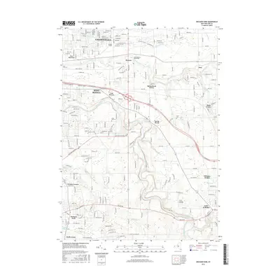
(10)- 2010 Map of Orchard Park, 2010 Print
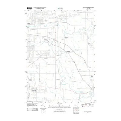 2010 Orchard Park2010 Print · USGSCovers Elma Center, including Cheektowaga, West Seneca, and other nearby areas
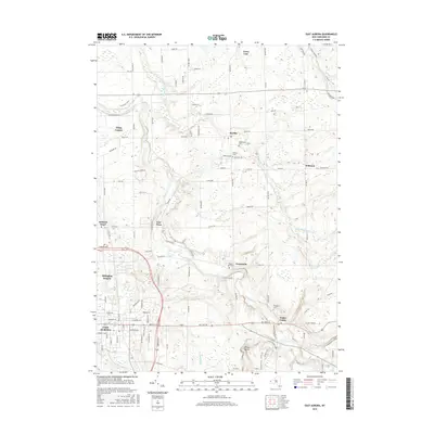
 - 2010 Map of East Aurora, 2010 Print
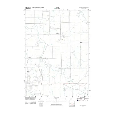 2010 East Aurora2010 Print · USGSCovers Elma Center, including Lancaster, Aurora, and other nearby areas
 - 2013 Map of East Aurora, 2013 Print
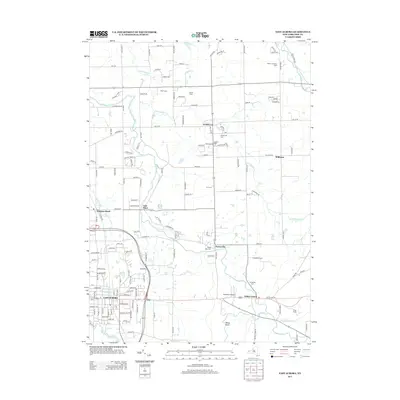 2013 East Aurora2013 Print · USGSCovers Elma Center, including Lancaster, Aurora, and other nearby areas
 - 2013 Map of Orchard Park, 2013 Print
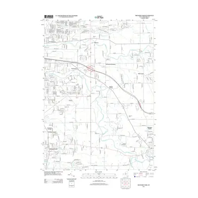 2013 Orchard Park2013 Print · USGSCovers Elma Center, including Cheektowaga, West Seneca, and other nearby areas
 - 2016 Map of East Aurora, 2016 Print
 2016 East Aurora2016 Print · USGSCovers Elma Center, including Lancaster, Aurora, and other nearby areas
 - 2016 Map of Orchard Park, 2016 Print
 2016 Orchard Park2016 Print · USGSCovers Elma Center, including Cheektowaga, West Seneca, and other nearby areas
 - 2019 Map of Orchard Park, 2019 Print
 2019 Orchard Park2019 Print · USGSCovers Elma Center, including Cheektowaga, West Seneca, and other nearby areas
 - 2019 Map of East Aurora, 2019 Print
 2019 East Aurora2019 Print · USGSCovers Elma Center, including Lancaster, Aurora, and other nearby areas
 - 2023 Map of East Aurora, 2023 Print
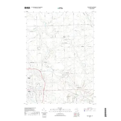
 2023 East Aurora2023 Print · USGSThe Erie County village of East Aurora and its neighboring hamlets are captured here in the early twenty-first century. Researchers can trace historic cemeteries like Maple Rest Cem and old transit routes such as Two Rod Rd and Four Rod Rd.
 - 2023 Map of Orchard Park, 2023 Print
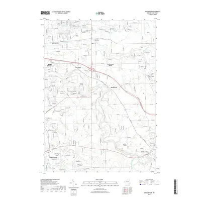
 2023 Orchard Park2023 Print · USGSErie County suburbs and hamlets south of Buffalo are shown in detail as they appeared recently. Trace local history through the Angle Road Community Church Cem or landmarks like Buffalo Airfield and Christ the King Seminary.
End of results
Showing maps 1-10 of 10
Top cities near Elma Center
- Buffalo historical maps
- Amherst historical maps
- Cheektowaga historical maps
- Tonawanda historical maps
- Hamburg historical maps
- West Seneca historical maps
See more
Frequently asked questions
- What are the different types of historical maps available for Elma Center?
- What is the oldest map of Elma Center?
- Where can I purchase historical maps of Elma Center for my home or office?
- Where can I download high-res historical maps of Elma Center?
- Are there historical topographic maps available for Elma Center?
- Is there historical aerial imagery available for Elma Center?
- Where are historical maps of Elma Center sourced from?