2000s (21st Century) Maps of Essex, New York
Explore 15 historic maps of Essex from the 2000s (21st Century). These maps offer a rare glimpse into what life looked like during the 2000s — showing old roads, neighborhoods, homes, and landmarks that have changed or disappeared over time.
Whether you're researching your family's past, planning a metal detecting trip, or studying how Essex's landscape evolved across the 2000s, these high-resolution maps are a powerful tool for exploring the history of this region.
- Focus on a specific era: All maps on this page are from the 2000s, giving you a focused view of this time period.
- See what’s changed: Compare century-old streets, trails, and buildings to today's modern landscape using overlays and satellite layers.
- Research with precision: Use these maps for genealogy, historical research, land use analysis, or educational projects.
- View, download, or print: Maps are fully viewable online in high resolution, and can be downloaded or printed for your own records.
Start exploring Essex's history through authentic maps from the 2000s. This is your window into the past.
Essex, NY maps
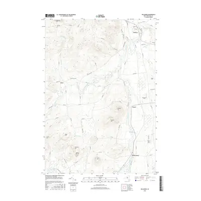
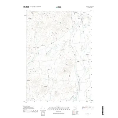
(15)- 2010 Map of Willsboro, 2010 Print
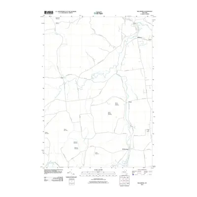 2010 Willsboro2010 Print · USGSCovers Essex, including Willsboro, Westport, and other nearby areas
 - 2012 Map of Westport, 2012 Print
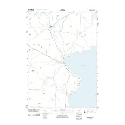 2012 Westport2012 Print · USGSCovers Essex, including Ferrisburgh, Westport, and other nearby areas
 - 2012 Map of Charlotte, 2012 Print
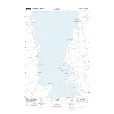 2012 Charlotte2012 Print · USGSCovers Essex, including Shelburne, Charlotte, and other nearby areas
 - 2013 Map of Willsboro, 2013 Print
 2013 Willsboro2013 Print · USGSCovers Essex, including Willsboro, Westport, and other nearby areas
 - 2013 Map of Westport, 2013 Print
 2013 Westport2013 Print · USGSCovers Essex, including Ferrisburgh, Westport, and other nearby areas
 - 2015 Map of Charlotte, 2015 Print
 2015 Charlotte2015 Print · USGSCovers Essex, including Shelburne, Charlotte, and other nearby areas
 - 2016 Map of Westport, 2016 Print
 2016 Westport2016 Print · USGSCovers Essex, including Ferrisburgh, Westport, and other nearby areas
 - 2016 Map of Willsboro, 2016 Print
 2016 Willsboro2016 Print · USGSCovers Essex, including Willsboro, Westport, and other nearby areas
 - 2018 Map of Charlotte, 2018 Print
 2018 Charlotte2018 Print · USGSCovers Essex, including Shelburne, Charlotte, and other nearby areas
 - 2019 Map of Willsboro, 2019 Print
 2019 Willsboro2019 Print · USGSCovers Essex, including Willsboro, Westport, and other nearby areas
 - 2019 Map of Westport, 2019 Print
 2019 Westport2019 Print · USGSCovers Essex, including Ferrisburgh, Westport, and other nearby areas
 - 2021 Map of Charlotte, 2021 Print
 2021 Charlotte2021 Print · USGSCovers Essex, including Shelburne, Charlotte, and other nearby areas
 - 2023 Map of Willsboro, 2023 Print
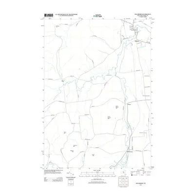
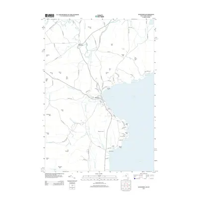
 2023 Willsboro2023 Print · USGSThe Boquet River valley comes alive in this 2023 survey of eastern Essex County. Researchers can trace family history through sites like Boardman Cem and Burt Cem, or locate landmarks such as Bonebender Airport and the hamlet of Whallonsburg.
 - 2023 Map of Westport, 2023 Print
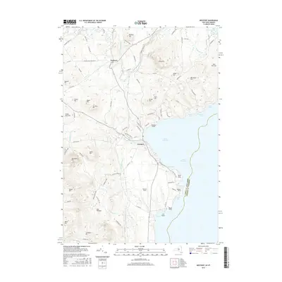
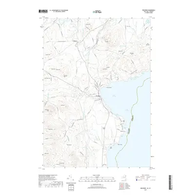
 2023 Westport2023 Print · USGSThe Lake Champlain shoreline at Westport is captured here in the early twenty-first century, showcasing the intersection of the Adirondack wilderness and maritime life. Genealogists and historians can trace family-named heights like Stanton Hill and Payne Hill or locate the old Westport Airport.
 - 2024 Map of Charlotte, 2024 Print
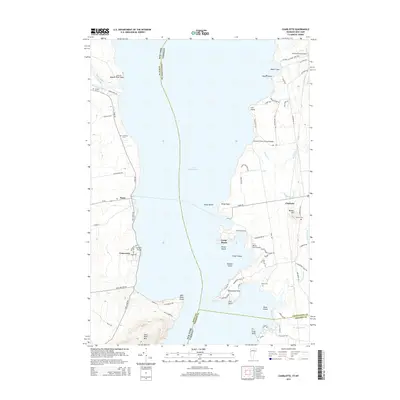
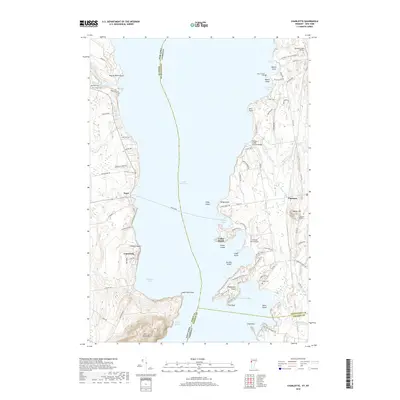
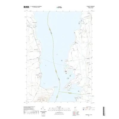
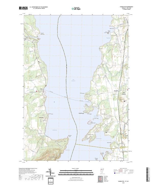 2024 Charlotte2024 Print · USGSLake Champlain serves as the central artery for this border region between Vermont and New York in the early twenty-first century. Genealogists and historians can trace family ties through Meach Island Cem and Barber Cem or follow the path of the Essex Ferry.
End of results
Showing maps 1-15 of 15
Top cities near Essex
- Burlington historical maps
- South Burlington historical maps
- Colchester historical maps
- Winooski historical maps
- Shelburne historical maps
- Moriah historical maps
See more
Top neighborhoods of Essex
Frequently asked questions
- What are the different types of historical maps available for Essex?
- What is the oldest map of Essex?
- Where can I purchase historical maps of Essex for my home or office?
- Where can I download high-res historical maps of Essex?
- Are there historical topographic maps available for Essex?
- Is there historical aerial imagery available for Essex?
- Where are historical maps of Essex sourced from?