2000s (21st Century) Maps of Minerva, New York
Explore 50 historic maps of Minerva from the 2000s (21st Century). These maps offer a rare glimpse into what life looked like during the 2000s — showing old roads, neighborhoods, homes, and landmarks that have changed or disappeared over time.
Whether you're researching your family's past, planning a metal detecting trip, or studying how Minerva's landscape evolved across the 2000s, these high-resolution maps are a powerful tool for exploring the history of this region.
- Focus on a specific era: All maps on this page are from the 2000s, giving you a focused view of this time period.
- See what’s changed: Compare century-old streets, trails, and buildings to today's modern landscape using overlays and satellite layers.
- Research with precision: Use these maps for genealogy, historical research, land use analysis, or educational projects.
- View, download, or print: Maps are fully viewable online in high resolution, and can be downloaded or printed for your own records.
Start exploring Minerva's history through authentic maps from the 2000s. This is your window into the past.
Minerva, NY maps
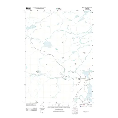
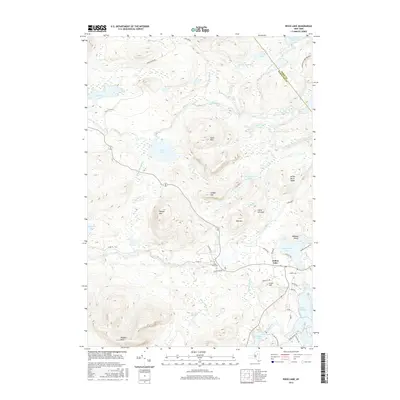
(50)- 2010 Map of Rock Lake, 2010 Print
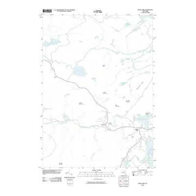 2010 Rock Lake2010 Print · USGSCovers Minerva, including Indian Lake, Essex County, and other nearby areas
 - 2010 Map of Newcomb, 2010 Print
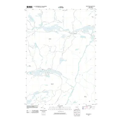 2010 Newcomb2010 Print · USGSCovers Minerva, including Newcomb, Essex County, and other nearby areas
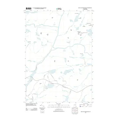
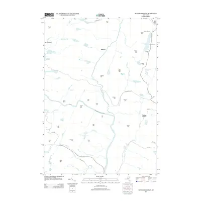
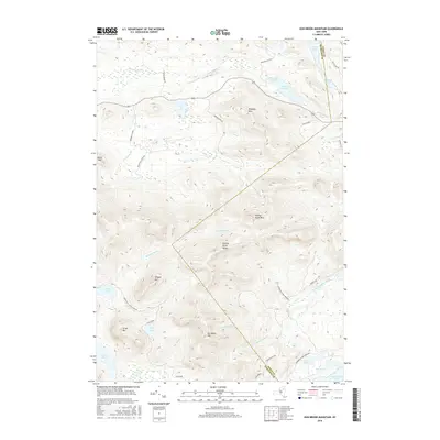
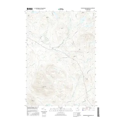
 - 2010 Map of Vanderwhacker Mountain, 2010 Print
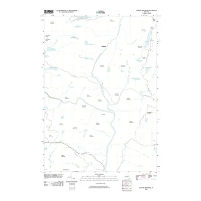
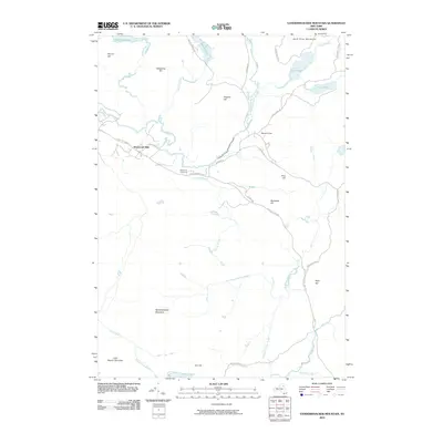 2010 Vanderwhacker Mountain2010 Print · USGSCovers Minerva, including Newcomb, North Hudson, and other nearby areas
 - 2010 Map of Bad Luck Mountain, 2010 Print
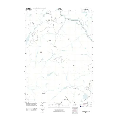
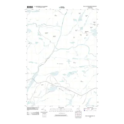 2010 Bad Luck Mountain2010 Print · USGSCovers Minerva, including Indian Lake, Newcomb, and other nearby areas
 - 2010 Map of Dutton Mountain, 2010 Print
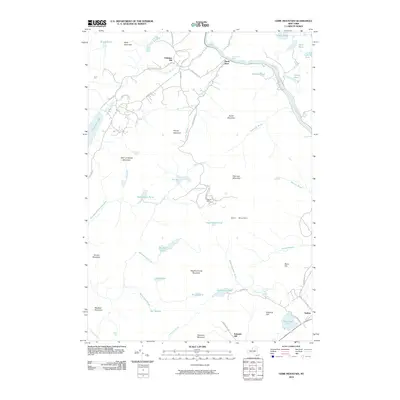
 2010 Dutton Mountain2010 Print · USGSCovers Minerva, including Chester, Indian Lake, and other nearby areas
 - 2010 Map of Dun Brook Mountain, 2010 Print
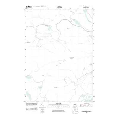 2010 Dun Brook Mountain2010 Print · USGSCovers Minerva, including Indian Lake, Long Lake, and other nearby areas
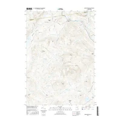
 - 2010 Map of Gore Mountain, 2010 Print
 2010 Gore Mountain2010 Print · USGSCovers Minerva, including Chester, Johnsburg, and other nearby areas
 - 2010 Map of Minerva, 2010 Print
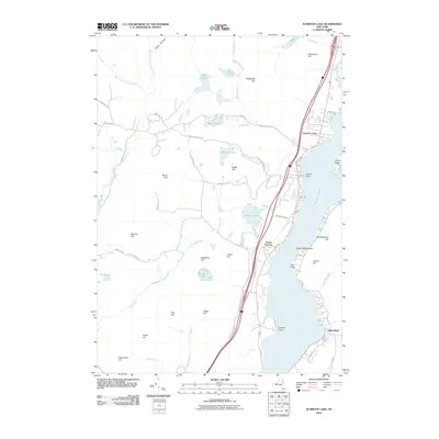
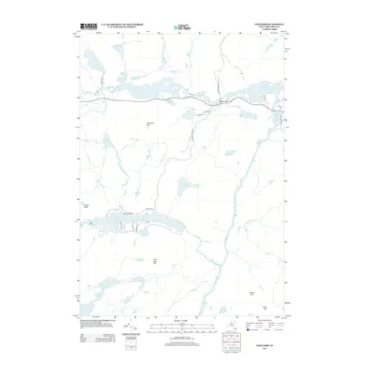
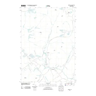 2010 Minerva2010 Print · USGSCovers Minerva, including Chester, Schroon, and other nearby areas
 - 2010 Map of Schroon Lake, 2010 Print
 2010 Schroon Lake2010 Print · USGSCovers Minerva, including Chester, Schroon, and other nearby areas
 - 2010 Map of Cheney Pond, 2010 Print
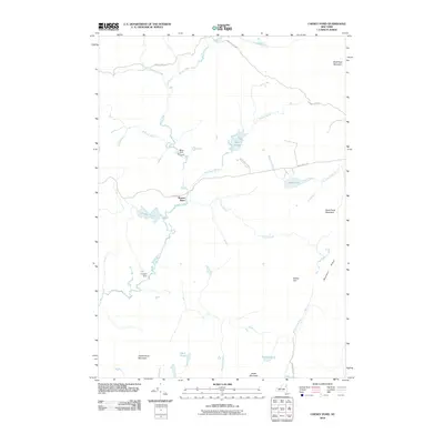 2010 Cheney Pond2010 Print · USGSCovers Minerva, including Schroon, Newcomb, and other nearby areas
 - 2013 Map of Rock Lake, 2013 Print
 2013 Rock Lake2013 Print · USGSCovers Minerva, including Indian Lake, Essex County, and other nearby areas
 - 2013 Map of Bad Luck Mountain, 2013 Print
 2013 Bad Luck Mountain2013 Print · USGSCovers Minerva, including Indian Lake, Newcomb, and other nearby areas
 - 2013 Map of Gore Mountain, 2013 Print
 2013 Gore Mountain2013 Print · USGSCovers Minerva, including Chester, Johnsburg, and other nearby areas
 - 2013 Map of Dun Brook Mountain, 2013 Print
 2013 Dun Brook Mountain2013 Print · USGSCovers Minerva, including Indian Lake, Long Lake, and other nearby areas
 - 2013 Map of Dutton Mountain, 2013 Print
 2013 Dutton Mountain2013 Print · USGSCovers Minerva, including Chester, Indian Lake, and other nearby areas
 - 2013 Map of Newcomb, 2013 Print
 2013 Newcomb2013 Print · USGSCovers Minerva, including Newcomb, Essex County, and other nearby areas
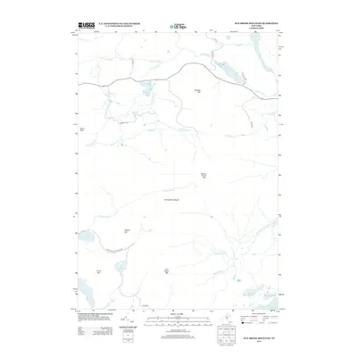
 - 2013 Map of Vanderwhacker Mountain, 2013 Print
 2013 Vanderwhacker Mountain2013 Print · USGSCovers Minerva, including Newcomb, North Hudson, and other nearby areas
 - 2013 Map of Schroon Lake, 2013 Print
 2013 Schroon Lake2013 Print · USGSCovers Minerva, including Chester, Schroon, and other nearby areas
 - 2013 Map of Cheney Pond, 2013 Print
 2013 Cheney Pond2013 Print · USGSCovers Minerva, including Schroon, Newcomb, and other nearby areas
 - 2013 Map of Minerva, 2013 Print
 2013 Minerva2013 Print · USGSCovers Minerva, including Chester, Schroon, and other nearby areas
 - 2016 Map of Gore Mountain, 2016 Print
 2016 Gore Mountain2016 Print · USGSCovers Minerva, including Chester, Johnsburg, and other nearby areas
 - 2016 Map of Dun Brook Mountain, 2016 Print
 2016 Dun Brook Mountain2016 Print · USGSCovers Minerva, including Indian Lake, Long Lake, and other nearby areas
 - 2016 Map of Rock Lake, 2016 Print
 2016 Rock Lake2016 Print · USGSCovers Minerva, including Indian Lake, Essex County, and other nearby areas
 - 2016 Map of Vanderwhacker Mountain, 2016 Print
 2016 Vanderwhacker Mountain2016 Print · USGSCovers Minerva, including Newcomb, North Hudson, and other nearby areas
 - 2016 Map of Bad Luck Mountain, 2016 Print
 2016 Bad Luck Mountain2016 Print · USGSCovers Minerva, including Indian Lake, Newcomb, and other nearby areas
Showing maps 1-25 of 50
Top cities near Minerva
- Warrensburg historical maps
- Chester historical maps
- Johnsburg historical maps
- Schroon historical maps
- Indian Lake historical maps
- Keene historical maps
See more
Top neighborhoods of Minerva
- Olmstedville historical maps
- Pudding Hollow historical maps
- Northwoods Club historical maps
- Irishtown historical maps
- Aiden Lair historical maps
- Boreas River historical maps
See more
Frequently asked questions
- What are the different types of historical maps available for Minerva?
- What is the oldest map of Minerva?
- Where can I purchase historical maps of Minerva for my home or office?
- Where can I download high-res historical maps of Minerva?
- Are there historical topographic maps available for Minerva?
- Is there historical aerial imagery available for Minerva?
- Where are historical maps of Minerva sourced from?