2020s Maps of Minerva, New York
Explore 10 historic maps of Minerva from the 2020s. These maps offer a rare glimpse into what life looked like during the 2020s — showing old roads, neighborhoods, homes, and landmarks that have changed or disappeared over time.
Whether you're researching your family's past, planning a metal detecting trip, or studying how Minerva's landscape evolved across the 2020s, these high-resolution maps are a powerful tool for exploring the history of this region.
- Focus on a specific era: All maps on this page are from the 2020s, giving you a focused view of this time period.
- See what’s changed: Compare century-old streets, trails, and buildings to today's modern landscape using overlays and satellite layers.
- Research with precision: Use these maps for genealogy, historical research, land use analysis, or educational projects.
- View, download, or print: Maps are fully viewable online in high resolution, and can be downloaded or printed for your own records.
Start exploring Minerva's history through authentic maps from the 2020s. This is your window into the past.
Minerva, NY maps
(10)- 2023 Map of Minerva, 2023 Print
 2023 Minerva2023 Print · USGSThe Adirondack foothills of Essex County come into focus in this contemporary survey, showing the enduring mountain settlements and trail networks. Genealogists and hikers can trace paths to Federal Flat Cem, the rural crossroads of Irishtown, and the high peaks of Green Mountain.
 - 2023 Map of Cheney Pond, 2023 Print
 2023 Cheney Pond2023 Print · USGSAdirondack forest and mountain peaks dominate the landscape of Essex County in the early twenty-first century. Researchers can trace remote backcountry routes like the Cheney Pond-Irishtown Trl or locate the headwaters of the Boreas River and Wolf Pond.
 - 2023 Map of Dun Brook Mountain, 2023 Print
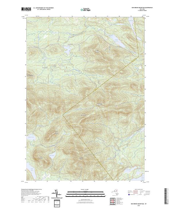 2023 Dun Brook Mountain2023 Print · USGSAdirondack wilderness near the Hamilton and Essex county line is shown here in the early twenty-first century. Outdoorsmen and researchers can trace the high-altitude Northville Lake Placid Trl and remote waters like Wolf Pond and the Essex Chain Lakes.
 - 2023 Map of Schroon Lake, 2023 Print
 2023 Schroon Lake2023 Print · USGSSchroon Lake and the southern Adirondack peaks are shown in high detail during this contemporary era. Researchers can trace the development of lakeside settlements from South Schroon to Pottersville, while hikers and historians can locate old trails like Severance Trl and landmarks such as Ledge Hill.
 - 2023 Map of Rock Lake, 2023 Print
 2023 Rock Lake2023 Print · USGSIndian Lake and the surrounding Adirondack wilderness appear in high detail at the dawn of the 2020s. Researchers can locate the Cedar River Cemetery, trace family-named roads like Jerry Savorie Rd, or follow the Northville-Placid Trail through the high peaks.
 - 2023 Map of Newcomb, 2023 Print
 2023 Newcomb2023 Print · USGSThe Adirondack wilderness around Newcomb is shown here in detail during the early 2020s. Hikers and historians can trace the Santanoni - Lake Harris Trl and locate remote sites like Blackwell Stillwater or the Essex Chain Lakes.
 - 2023 Map of Bad Luck Mountain, 2023 Print
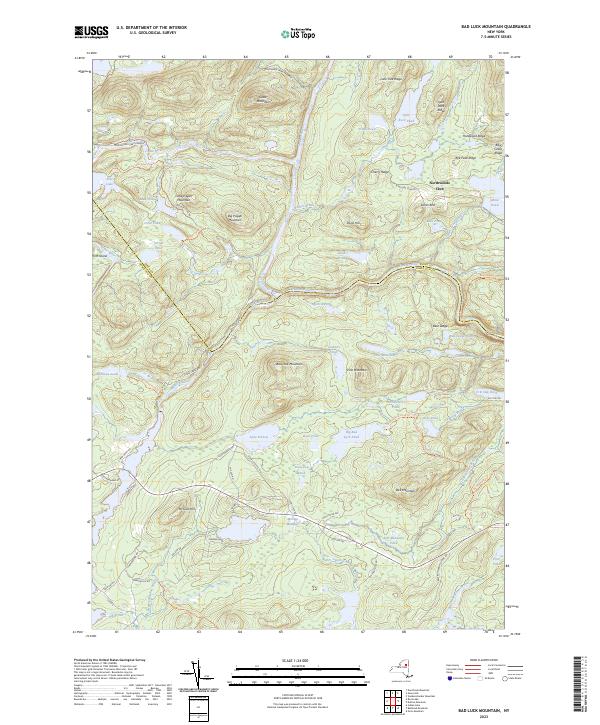 2023 Bad Luck Mountain2023 Print · USGSThe Adirondack wilderness along the Hamilton and Essex line comes into focus in this recent survey. Trace the confluence of the Indian River and Hudson River or locate historic seasonal landmarks like the Northwoods Club and Saints Rest.
 - 2023 Map of Dutton Mountain, 2023 Print
 2023 Dutton Mountain2023 Print · USGSThe Adirondack wilderness of Essex and Hamilton Counties is recorded here during the early twenty-first century. Researchers can trace the high-elevation drainage of the Hudson River and Boreas River or locate historic landmarks like Aiden Lair and Crusher Hill.
 - 2023 Map of Vanderwhacker Mountain, 2023 Print
 2023 Vanderwhacker Mountain2023 Print · USGSEssex County in the 2020s remains a landscape of protected wilderness and high peaks within the Adirondack Park Preserve. Researchers can trace old mountain routes and river points like the Vanderwhacker Firetower Trl, Saint Therese Cem, and the winding Hudson River.
 - 2023 Map of Gore Mountain, 2023 Print
 2023 Gore Mountain2023 Print · USGSThe Adirondack backcountry near the Hudson River comes into focus in this contemporary survey. Genealogists and hikers can trace the paths around Gore Mountain, find local landmarks like the Sodom settlement, and explore the vast Adirondack Park Preserve.
End of results
Showing maps 1-10 of 10
Top cities near Minerva
- Warrensburg historical maps
- Chester historical maps
- Johnsburg historical maps
- Schroon historical maps
- Indian Lake historical maps
- Keene historical maps
See more
Top neighborhoods of Minerva
- Olmstedville historical maps
- Pudding Hollow historical maps
- Northwoods Club historical maps
- Irishtown historical maps
- Aiden Lair historical maps
- Boreas River historical maps
See more
Frequently asked questions
- What are the different types of historical maps available for Minerva?
- What is the oldest map of Minerva?
- Where can I purchase historical maps of Minerva for my home or office?
- Where can I download high-res historical maps of Minerva?
- Are there historical topographic maps available for Minerva?
- Is there historical aerial imagery available for Minerva?
- Where are historical maps of Minerva sourced from?