
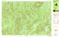
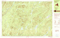
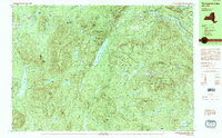
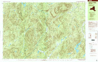
2023 Map of Gore Mountain
USGS Topo · Published 2023About this map
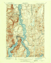
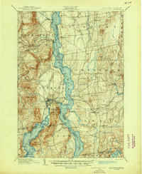
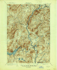
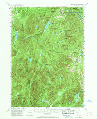
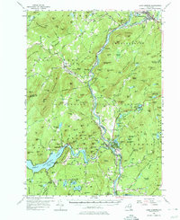
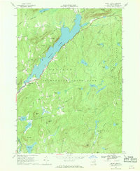
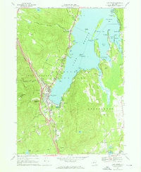
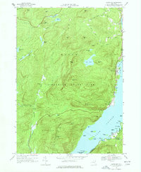
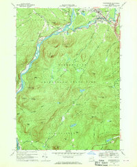
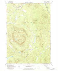
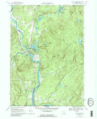
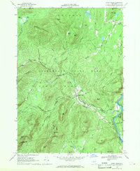
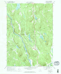
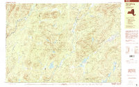
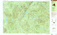
The Hudson River flows across the northern reaches of this Adirondack landscape, where the settlements of North River and North Creek serve as anchors for the local geography. This high-elevation terrain is defined by the massive presence of Gore Mountain and its surrounding peaks, including Ruby Mountain and Harvey Mountain. The map reveals a dense network of recreational trails and access roads that cut through the Adirondack Park Preserve, such as the Raymond Brook Ski Trl and the William Blake Pond Trl.
Find a feature on this map
78 named features on this map. Tap any name to fly to it.
Don’t see what you’re looking for? This feature index may not catch every label — zoom into the map to look around manually.
Map Details
Editions of this 2023 Gore Mountain Map
This is the sole edition of this map. No revisions or reprints were ever made.
Historical Maps of Minerva Through Time
36 maps found
1894 Ticonderoga
Warren County, NY
1896 Ticonderoga
Warren County, NY

1897 Bolton
Warren County, NY
1898 Thirteenth Lake
Warren County, NY
1900 Bolton
Warren County, NY
1902 Ticonderoga
Warren County, NY
1903 Luzerne
Warren County, NY
1954 Thirteenth Lake
Warren County, NY
1955 Lake Luzerne
Warren County, NY
1966 Brant Lake
Warren County, NY
1966 Lake George
Warren County, NY
1966 Silver Bay
Warren County, NY
1966 Warrensburg
Warren County, NY
1968 Johnsburg
Warren County, NY
1968 Lake Luzerne
Warren County, NY
1968 Stony Creek
Warren County, NY
1968 The Glen
Warren County, NY
1990 Bakers Mills
Warren County, NY
1990 Harrisburg
Warren County, NY
1990 Thirteenth Lake
Warren County, NY
1997 Bakers Mills
Warren County, NY
1997 Harrisburg
Warren County, NY
1997 Thirteenth Lake
Warren County, NY

2023 Bakers Mills
Warren County, NY

2023 Brant Lake
Warren County, NY

2023 Bullhead Mountain
Warren County, NY
2023 Gore Mountain
Warren County, NY

2023 Harrisburg
Warren County, NY

2023 Johnsburg
Warren County, NY

2023 Lake George
Warren County, NY

2023 Lake Luzerne
Warren County, NY

2023 Silver Bay
Warren County, NY
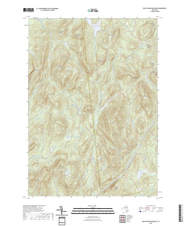
2023 South Pond Mountain
Warren County, NY

2023 Stony Creek
Warren County, NY

2023 The Glen
Warren County, NY

2023 Warrensburg
Warren County, NY