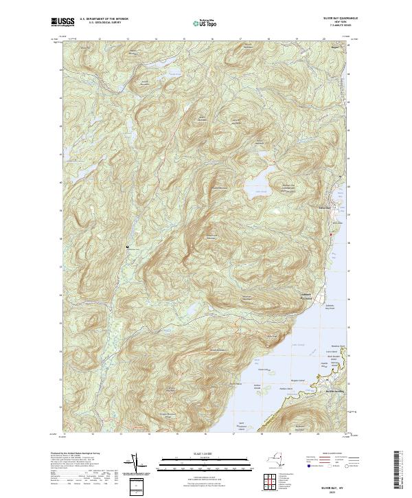
2023 Map of Silver Bay
USGS Topo · Published 2023About this map
Lake George dominates the eastern half of this 2023 landscape, framing the steep elevation changes of the Adirondack Uplands. The rugged shoreline is punctuated by historic landing points and natural landmarks like Sabbath Day Point and the towering heights of Deer Leap. Near the western edge, the Wardsboro Cem sits along Northwest Bay Brook, offering a quiet point of interest for local historians and genealogists tracing early families in the valley.
Find a feature on this map
78 named features on this map. Tap any name to fly to it.
Don’t see what you’re looking for? This feature index may not catch every label — zoom into the map to look around manually.
Map Details
Editions of this 2023 Silver Bay Map
This is the sole edition of this map. No revisions or reprints were ever made.
Other maps of this area

1893 · Whitehall
USGS Topo · 1:62,500

1894 · Ticonderoga
USGS Topo · 1:62,500

1895 · Whitehall
USGS Topo · 1:62,500

1895 · Paradox Lake
USGS Topo · 1:62,500

1896 · Ticonderoga
USGS Topo · 1:62,500

1897 · Bolton
USGS Topo · 1:62,500

1897 · Paradox Lake
USGS Topo · 1:62,500

1898 · Whitehall
USGS Topo · 1:62,500

1900 · Bolton
USGS Topo · 1:62,500

1902 · Whitehall
USGS Topo · 1:62,500