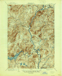
1903 Map of Luzerne
USGS Topo · Published 1945About this map
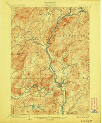
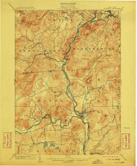
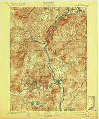
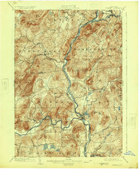
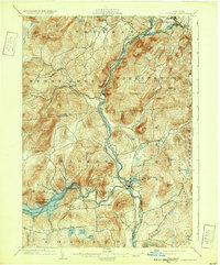
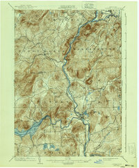
The Hudson River carves a deep valley through the center of this terrain, meeting the Schroon River at Warrensburg and the Sacandaga at the village of Hadley. This early 20th-century landscape captures the Adirondack foothills before the full development of modern infrastructure, showing the Adirondack Railway following the river's path through the mountains. The southern portion of the sheet features the Sacandaga Reservoir, a significant modification of the natural drainage that altered the character of the Conklingville area. Local life centers on established timber and mill towns like Luzerne and Athol, while the surrounding peaks, including Potash Mt and Hadley Hill, dominate the skyline. The map reflects a period when small settlements like Linwood and Hartman were connected by a network of mountain roads and brook-side trails, providing a clear record of the region's historical geography.
Find a feature on this map
50 named features on this map. Tap any name to fly to it.
Don’t see what you’re looking for? This feature index may not catch every label — zoom into the map to look around manually.
Map Details
Editions of this 1903 Luzerne Map
8 editions found

Other maps of this area

1895 · North Creek
USGS Topo · 1:62,500

1895 · Glens Falls
USGS Topo · 1:62,500

1897 · Bolton
USGS Topo · 1:62,500

1897 · Glens Falls
USGS Topo · 1:62,500

1897 · North Creek
USGS Topo · 1:62,500

1898 · Thirteenth Lake
USGS Topo · 1:62,500

1899 · Broadalbin
USGS Topo · 1:62,500

1900 · Bolton
USGS Topo · 1:62,500

1900 · Schuylerville
USGS Topo · 1:62,500

1902 · Broadalbin
USGS Topo · 1:62,500