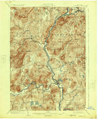
1903 Map of Luzerne
USGS Topo · Published 1925About this map
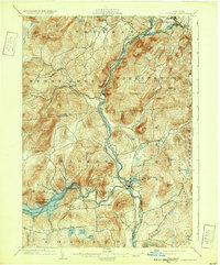
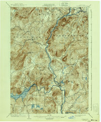
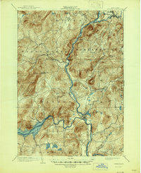
The Hudson River and Sacandaga River converge in this 1900 survey, highlighting the corridor where the Adirondack Division railroad follows the river's path through the high peaks. The village of Luzerne and nearby Hadley serve as central hubs, while Conklingville sits along the Sacandaga before the river's modern engineering. The landscape is defined by its industrial and recreational geography, with timber and transport routes extending from Warrensburg in the north toward southern hamlets like Hartman. Dozens of named summits, including Mount Anthony and the Luzerne Mountains, surround a series of glacial waters such as Jenny Lake, Hunt Lake, and Efner Lake. This topographical study captures the Warren and Saratoga County borderlands at a time when small settlements like Athol and Stony Creek were vital links in the region's mountain economy.
Find a feature on this map
52 named features on this map. Tap any name to fly to it.
Don’t see what you’re looking for? This feature index may not catch every label — zoom into the map to look around manually.
Map Details
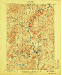
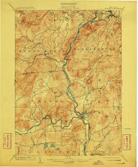
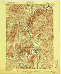
Editions of this 1903 Luzerne Map
8 editions found

Other maps of this area

1895 · North Creek
USGS Topo · 1:62,500

1895 · Glens Falls
USGS Topo · 1:62,500

1897 · Bolton
USGS Topo · 1:62,500

1897 · Glens Falls
USGS Topo · 1:62,500

1897 · North Creek
USGS Topo · 1:62,500

1898 · Thirteenth Lake
USGS Topo · 1:62,500

1899 · Broadalbin
USGS Topo · 1:62,500

1900 · Bolton
USGS Topo · 1:62,500

1900 · Schuylerville
USGS Topo · 1:62,500

1902 · Broadalbin
USGS Topo · 1:62,500