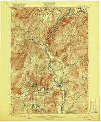
1903 Map of Luzerne
USGS Topo · Published 1920About this map
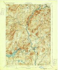
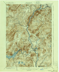
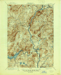
The Hudson River carves a deep valley through this Adirondack landscape, serving as the central artery where the Schroon River and Sacandaga River converge. At these critical junctions, the settlements of Warrensburg, Hadley, and Luzerne emerged, driven by the water power and transport potential of the shifting currents. The Adirondack Division railroad follows the riverbanks, providing a vital link for industry and travel between the southern lowlands and the interior highlands.
Find a feature on this map
56 named features on this map. Tap any name to fly to it.
Don’t see what you’re looking for? This feature index may not catch every label — zoom into the map to look around manually.
Map Details
Editions of this 1903 Luzerne Map
8 editions found

Other maps of this area

1895 · North Creek
USGS Topo · 1:62,500

1895 · Glens Falls
USGS Topo · 1:62,500

1897 · Bolton
USGS Topo · 1:62,500

1897 · Glens Falls
USGS Topo · 1:62,500

1897 · North Creek
USGS Topo · 1:62,500

1898 · Thirteenth Lake
USGS Topo · 1:62,500

1899 · Broadalbin
USGS Topo · 1:62,500

1900 · Bolton
USGS Topo · 1:62,500

1900 · Schuylerville
USGS Topo · 1:62,500

1902 · Broadalbin
USGS Topo · 1:62,500