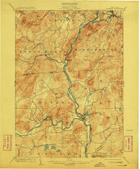
1903 Map of Luzerne
USGS Topo · Published 1911About this map
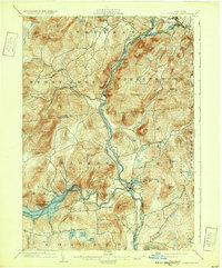
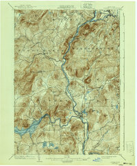
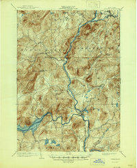
The Hudson River carves a deep valley through the center of this terrain, meeting the Schroon River at Warrensburg and the Sacandaga River near the town of Luzerne. At the turn of the century, the Adirondack Railway followed the eastern bank of the Hudson, providing a vital transport corridor for timber and trade through the southeastern Adirondack foothills. The landscape is dotted with small settlements such as Athol, Thurman, and Conklingville, the latter situated along a sharp bend in the Sacandaga before the construction of modern dams altered the river's course.
Find a feature on this map
59 named features on this map. Tap any name to fly to it.
Don’t see what you’re looking for? This feature index may not catch every label — zoom into the map to look around manually.
Map Details
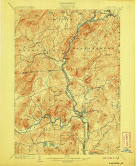
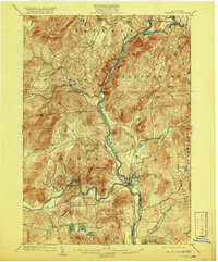
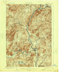
Editions of this 1903 Luzerne Map
8 editions found

Other maps of this area

1895 · North Creek
USGS Topo · 1:62,500

1895 · Glens Falls
USGS Topo · 1:62,500

1897 · Bolton
USGS Topo · 1:62,500

1897 · Glens Falls
USGS Topo · 1:62,500

1897 · North Creek
USGS Topo · 1:62,500

1898 · Thirteenth Lake
USGS Topo · 1:62,500

1899 · Broadalbin
USGS Topo · 1:62,500

1900 · Bolton
USGS Topo · 1:62,500

1900 · Schuylerville
USGS Topo · 1:62,500

1902 · Broadalbin
USGS Topo · 1:62,500