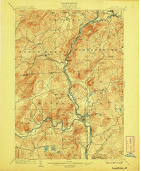
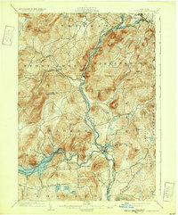
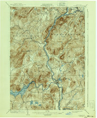
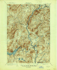
1903 Map of Luzerne
USGS Topo · Published 1907About this map
The confluence of the Hudson River and the Sacandaga River anchors this 1900 survey of the southeastern Adirondacks. The Adirondack Ry corridor follows the western bank of the Hudson, connecting the rail-side settlement of Hadley to the northern reaches of Stony Creek and Thurman. This era precedes the major hydro-electric transformations of the Sacandaga valley, showing Conklingville and the river's original winding path before it was later submerged by reservoir projects.
Find a feature on this map
55 named features on this map. Tap any name to fly to it.
Don’t see what you’re looking for? This feature index may not catch every label — zoom into the map to look around manually.
Map Details
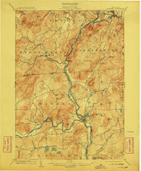
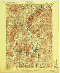
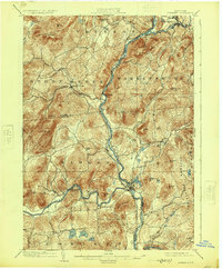
Editions of this 1903 Luzerne Map
8 editions found

Other maps of this area

1895 · North Creek
USGS Topo · 1:62,500

1895 · Glens Falls
USGS Topo · 1:62,500

1897 · Bolton
USGS Topo · 1:62,500

1897 · Glens Falls
USGS Topo · 1:62,500

1897 · North Creek
USGS Topo · 1:62,500

1898 · Thirteenth Lake
USGS Topo · 1:62,500

1899 · Broadalbin
USGS Topo · 1:62,500

1900 · Bolton
USGS Topo · 1:62,500

1900 · Schuylerville
USGS Topo · 1:62,500

1902 · Broadalbin
USGS Topo · 1:62,500