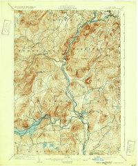
1903 Map of Luzerne
USGS Topo · Published 1932About this map
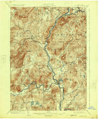
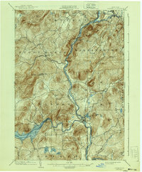
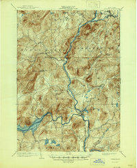
Luzerne and Hadley sit at the confluence of the Hudson River and the Sacandaga Reservoir, serving as a central hub in this early 20th-century landscape. The map reveals a region defined by steep terrain and vital waterways, where the Schroon River joins the Hudson near Warrensburg. Settlement patterns follow the valley floors, with small communities like Conklingville, Athol, and Stony Creek linked by roads that thread between numerous peaks such as Potash Mt and Mount Anthony.
Find a feature on this map
51 named features on this map. Tap any name to fly to it.
Don’t see what you’re looking for? This feature index may not catch every label — zoom into the map to look around manually.
Map Details
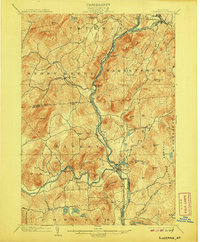
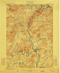
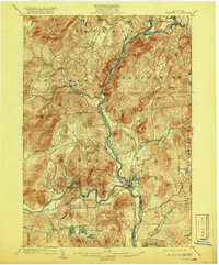
Editions of this 1903 Luzerne Map
8 editions found

Other maps of this area

1895 · North Creek
USGS Topo · 1:62,500

1895 · Glens Falls
USGS Topo · 1:62,500

1897 · Bolton
USGS Topo · 1:62,500

1897 · Glens Falls
USGS Topo · 1:62,500

1897 · North Creek
USGS Topo · 1:62,500

1898 · Thirteenth Lake
USGS Topo · 1:62,500

1899 · Broadalbin
USGS Topo · 1:62,500

1900 · Bolton
USGS Topo · 1:62,500

1900 · Schuylerville
USGS Topo · 1:62,500

1902 · Broadalbin
USGS Topo · 1:62,500