
1902 Map of Broadalbin
USGS Topo · Published 1902About this map
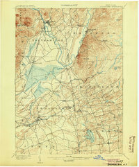
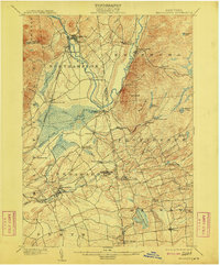
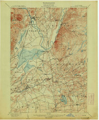
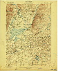
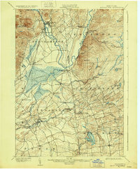
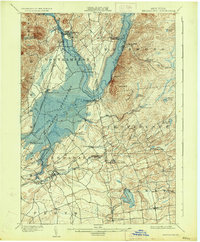
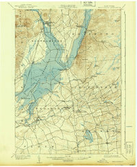
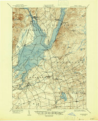
Northville and the Sacandaga Park resort area serve as the northern anchors of this pre-dam landscape, where the Sacandaga River meanders through a valley that would later be transformed by flooding. The presence of the Gloversville and Northville RR highlights the importance of rail connections for both the local leather industry and the growing tourism trade at the turn of the century. Further south, the map reveals a decentralized economy defined by small-scale manufacturing hubs like Vail Mills, Union Mills, and Hagedorns Mills, each situated along the complex drainage network of Kennyetto Creek and its tributaries.
Find a feature on this map
54 named features on this map. Tap any name to fly to it.
Don’t see what you’re looking for? This feature index may not catch every label — zoom into the map to look around manually.
Map Details
Editions of this 1902 Broadalbin Map
9 editions found
Other maps of this area

1893 · Schenectady
USGS Topo · 1:62,500

1895 · Schenectady
USGS Topo · 1:62,500

1895 · Amsterdam
USGS Topo · 1:62,500

1896 · Fonda
USGS Topo · 1:62,500

1898 · Schenectady
USGS Topo · 1:62,500

1898 · Fonda
USGS Topo · 1:62,500

1899 · Broadalbin
USGS Topo · 1:62,500

1902 · Fonda
USGS Topo · 1:62,500

1902 · Saratoga
USGS Topo · 1:62,500

1903 · Luzerne
USGS Topo · 1:62,500