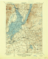
1902 Map of Broadalbin
USGS Topo · Published 1947About this map
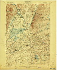
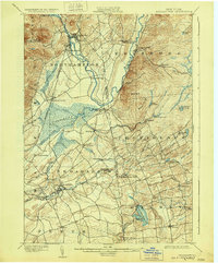
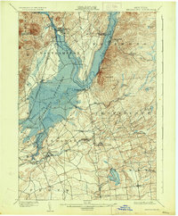
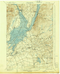
Northville and the bustling leisure grounds of Sacandaga Park anchor the northern reaches of this turn-of-the-century landscape, situated where the Sacandaga River met the valley floor. The map documents the region just before the creation of the massive Sacandaga Reservoir, showing original riverside settlements like Osborn Bridge and Batchellerville that would later be altered by the rising waters. To the south, the industrial and agricultural character of Fulton County is evident in the cluster of mill sites and small hubs like Broadalbin, Union Mills, and Hagedorns Mills. The vital role of rail transport is clearly marked by the Gloversville and Broadalbin R. R. and the F. J. and G. R. R., which connected these upland communities to the broader commercial networks of New York State.
Find a feature on this map
70 named features on this map. Tap any name to fly to it.
Don’t see what you’re looking for? This feature index may not catch every label — zoom into the map to look around manually.
Map Details
Editions of this 1902 Broadalbin Map
9 editions found
Other maps of this area

1893 · Schenectady
USGS Topo · 1:62,500

1895 · Schenectady
USGS Topo · 1:62,500

1895 · Amsterdam
USGS Topo · 1:62,500

1896 · Fonda
USGS Topo · 1:62,500

1898 · Schenectady
USGS Topo · 1:62,500

1898 · Fonda
USGS Topo · 1:62,500

1899 · Broadalbin
USGS Topo · 1:62,500

1902 · Broadalbin
USGS Topo · 1:62,500

1902 · Fonda
USGS Topo · 1:62,500

1902 · Saratoga
USGS Topo · 1:62,500