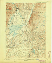
1902 Map of Broadalbin
USGS Topo · Published 1905About this map
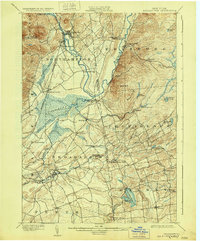
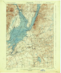
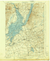
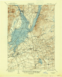
The Sacandaga River valley dominates this turn-of-the-century landscape, appearing here decades before the construction of the Conklingville Dam would fundamentally alter this terrain. The river meanders past numerous small settlements and crossroads that would later be impacted by the reservoir, including Osborn Bridge and Northampton. Industrial activity of the era is evident through several milling sites such as Hagedorns Mills, Union Mills, and Vail Mills, which supported the local economy alongside the F. J. and G. R. R. railroad line connecting Broadalbin to the wider region.
Find a feature on this map
54 named features on this map. Tap any name to fly to it.
Don’t see what you’re looking for? This feature index may not catch every label — zoom into the map to look around manually.
Map Details
Editions of this 1902 Broadalbin Map
9 editions found
Other maps of this area

1893 · Schenectady
USGS Topo · 1:62,500

1895 · Schenectady
USGS Topo · 1:62,500

1895 · Amsterdam
USGS Topo · 1:62,500

1896 · Fonda
USGS Topo · 1:62,500

1898 · Schenectady
USGS Topo · 1:62,500

1898 · Fonda
USGS Topo · 1:62,500

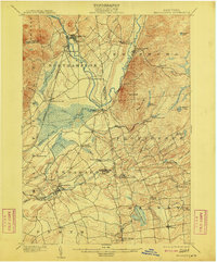
1899 · Broadalbin
USGS Topo · 1:62,500

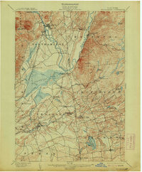
1902 · Broadalbin
USGS Topo · 1:62,500

1902 · Fonda
USGS Topo · 1:62,500

1902 · Saratoga
USGS Topo · 1:62,500