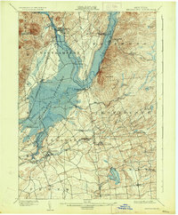
1902 Map of Broadalbin
USGS Topo · Published 1933About this map
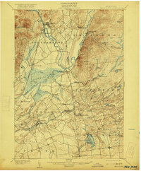
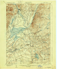
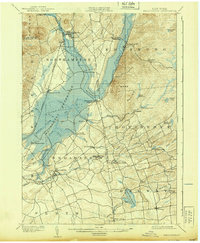
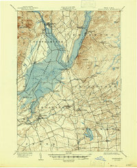
Sacandaga Reservoir dominates the landscape of this 1933 reprint, which reflects the significant hydrological changes occurring in the southern Adirondack region. The flooding of the valley submerged several historic sites and altered the course of the Sacandaga River, while communities like Northampton (Fishhouse) and Osborn Bridge appear at the water's edge or within the newly created basin. The presence of the F. J. & G. R. R. through Vail Mills and Broadalbin illustrates the industrial and transit connections between the tanning and textile centers of Fulton County and the recreational destinations of the north, such as Sacandaga Park. Smaller industrial hamlets like Hagedorns Mills and Union Mills are visible along the numerous creeks, while the southern reaches toward Perth and Galway show a transition to more open, agricultural terrain marked by early reservoirs including the Amsterdam Reservoir.
Find a feature on this map
58 named features on this map. Tap any name to fly to it.
Don’t see what you’re looking for? This feature index may not catch every label — zoom into the map to look around manually.
Map Details
Editions of this 1902 Broadalbin Map
9 editions found
Other maps of this area

1893 · Schenectady
USGS Topo · 1:62,500

1895 · Schenectady
USGS Topo · 1:62,500

1895 · Amsterdam
USGS Topo · 1:62,500

1896 · Fonda
USGS Topo · 1:62,500

1898 · Schenectady
USGS Topo · 1:62,500

1898 · Fonda
USGS Topo · 1:62,500

1899 · Broadalbin
USGS Topo · 1:62,500

1902 · Broadalbin
USGS Topo · 1:62,500

1902 · Fonda
USGS Topo · 1:62,500

1902 · Saratoga
USGS Topo · 1:62,500