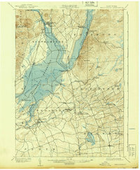
1902 Map of Broadalbin
USGS Topo · Published 1939About this map
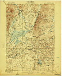
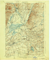
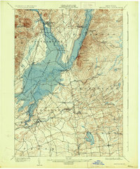
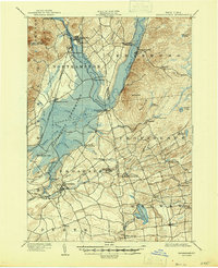
The Sacandaga Reservoir dominates this landscape, tracing the path of the Sacandaga River as it flows north through the Adirondack foothills. Surveyed just before the turn of the century and updated mid-century, the map documents a transition in local infrastructure, anchored by the Gloversville and Northville R. R. which served the northern settlements of Northville and Sacandaga Park.
Find a feature on this map
58 named features on this map. Tap any name to fly to it.
Don’t see what you’re looking for? This feature index may not catch every label — zoom into the map to look around manually.
Map Details
Editions of this 1902 Broadalbin Map
9 editions found
Other maps of this area

1893 · Schenectady
USGS Topo · 1:62,500

1895 · Schenectady
USGS Topo · 1:62,500

1895 · Amsterdam
USGS Topo · 1:62,500

1896 · Fonda
USGS Topo · 1:62,500

1898 · Schenectady
USGS Topo · 1:62,500

1898 · Fonda
USGS Topo · 1:62,500

1899 · Broadalbin
USGS Topo · 1:62,500

1902 · Broadalbin
USGS Topo · 1:62,500

1902 · Fonda
USGS Topo · 1:62,500

1902 · Saratoga
USGS Topo · 1:62,500