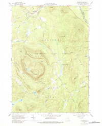
1968 Map of Johnsburg
USGS Topo · Published 1989About this map
Johnsburg serves as the primary northern settlement in this late-1960s snapshot of the southeastern Adirondacks. The landscape is dominated by the high elevations of Adirondack State Park, specifically around the massive Crane Mountain and its adjacent Crane Mountain Pond. A network of small family cemeteries, such as Bates Cem, and rural routes like Oven Mtn Rd and Goodman Road reveal the sparse residential footprint of the era. The Hudson River cuts through the northeast corner of the sheet, followed by the Delaware and Hudson Road, marking a vital transportation corridor through the mountain terrain. To the south, the village of Thurman and the waters of Garnet Lake provide focal points for local community and early recreation, evidenced by the presence of Camp Dippikill and several specialized paths like the Ski Hi Road.
Find a feature on this map
55 named features on this map. Tap any name to fly to it.
Don’t see what you’re looking for? This feature index may not catch every label — zoom into the map to look around manually.
Map Details
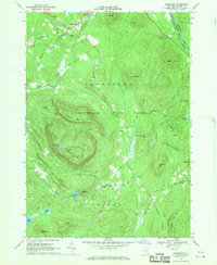
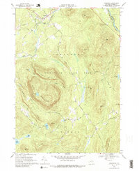
Editions of this 1968 Johnsburg Map
Other maps of this area

1895 · North Creek
USGS Topo · 1:62,500

1897 · North Creek
USGS Topo · 1:62,500

1898 · Thirteenth Lake
USGS Topo · 1:62,500

1903 · Luzerne
USGS Topo · 1:62,500

1910 · Stony Creek
USGS Topo · 1:62,500

1950 · Glens Falls
USGS Topo · 1:250,000

1950 · Utica
USGS Topo · 1:250,000

1954 · Thirteenth Lake
USGS Topo · 1:62,500

1954 · Harrisburg
USGS Topo · 1:62,500
1955 · Lake Luzerne
USGS Topo · 1:62,500