
1954 Map of Thirteenth Lake
USGS Topo · Published 1957About this map
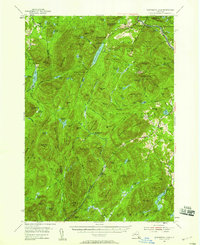
Thirteenth Lake and the towering heights of Gore Mtn dominate this mid-century landscape in the Adirondack Park. The map documents a period of transition, where small mountain communities like North River and Bakers Mills coexist with active industrial markers, including an Open Pit Mine and tailings piles near the northern edge. The Delaware and Hudson railroad tracks trace the winding path of the Hudson River at the northeastern corner, highlighting the area's historic reliance on river-and-rail transport for local timber and mineral resources.
Find a feature on this map
123 named features on this map. Tap any name to fly to it.
Don’t see what you’re looking for? This feature index may not catch every label — zoom into the map to look around manually.
Map Details
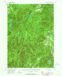
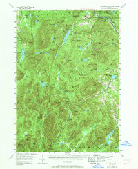
Editions of this 1954 Thirteenth Lake Map
4 editions found
Other maps of this area

1895 · North Creek
USGS Topo · 1:62,500

1897 · North Creek
USGS Topo · 1:62,500

1897 · Schroon Lake
USGS Topo · 1:62,500

1898 · Newcomb
USGS Topo · 1:62,500

1898 · Thirteenth Lake
USGS Topo · 1:62,500

1899 · Indian Lake
USGS Topo · 1:62,500

1901 · Newcomb
USGS Topo · 1:62,500

1902 · Indian Lake
USGS Topo · 1:62,500

1903 · Luzerne
USGS Topo · 1:62,500

1903 · Blue Mountain
USGS Topo · 1:62,500