
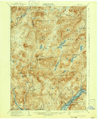
1910 Map of Stony Creek
USGS Topo · Published 1910About this map
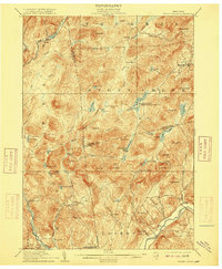
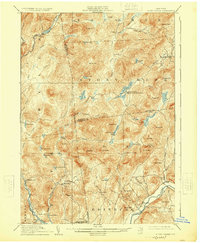
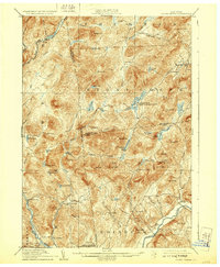
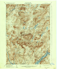
Stony Creek flows through a landscape defined by sharp elevation changes and high Adirondack peaks at the turn of the century. The map centers on the tri-county corner of Hamilton, Warren, and Saratoga, where the Sacandaga River and its East Branch serve as primary drainage for the surrounding heights. Small settlements like Harrisburg West Stony Creek PO and Bakertown appear along valley floors, connected by a network of early trails and roads such as the Oregon Trail. Remote logging and sporting outposts, including Wadsworth Camp, Olmstead Camp, and Brownell Camp, are established near water bodies like Murphy Lake and Wilcox Lake. The southeastern quadrant reveals the early layout of West Day and Tenantville along the winding Beecher Creek, reflecting the late-era industrial and residential patterns before significant modern landscape modifications in the southern Adirondacks.
Find a feature on this map
81 named features on this map. Tap any name to fly to it.
Don’t see what you’re looking for? This feature index may not catch every label — zoom into the map to look around manually.
Map Details
Editions of this 1910 Stony Creek Map
7 editions found
Other maps of this area

1895 · North Creek
USGS Topo · 1:62,500

1897 · North Creek
USGS Topo · 1:62,500

1898 · Thirteenth Lake
USGS Topo · 1:62,500

1899 · Indian Lake
USGS Topo · 1:62,500

1899 · Broadalbin
USGS Topo · 1:62,500

1902 · Broadalbin
USGS Topo · 1:62,500

1902 · Saratoga
USGS Topo · 1:62,500

1902 · Indian Lake
USGS Topo · 1:62,500

1903 · Luzerne
USGS Topo · 1:62,500

1903 · Gloversville
USGS Topo · 1:62,500