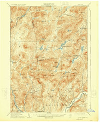
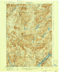
1910 Map of Stony Creek
USGS Topo · Published 1925About this map
Hope Falls and Tenantville anchor the southern reaches of this 1907-1908 survey, representing small industrial or agricultural pockets in a landscape dominated by the southern Adirondack foothills. The map reveals a network of mountain settlements and seasonal outposts, including Buck Mountain Camp and Olmstead Camp, which speak to the region's legacy of forestry and hunting. The rugged interior is crossed by the Oregon Trail in the north, while the Rand Min suggests localized resource extraction near Rand Mtn.
Find a feature on this map
80 named features on this map. Tap any name to fly to it.
Don’t see what you’re looking for? This feature index may not catch every label — zoom into the map to look around manually.
Map Details
Editions of this 1910 Stony Creek Map
7 editions found

Other maps of this area

1895 · North Creek
USGS Topo · 1:62,500

1897 · North Creek
USGS Topo · 1:62,500

1898 · Thirteenth Lake
USGS Topo · 1:62,500

1899 · Indian Lake
USGS Topo · 1:62,500

1899 · Broadalbin
USGS Topo · 1:62,500

1902 · Broadalbin
USGS Topo · 1:62,500

1902 · Saratoga
USGS Topo · 1:62,500

1902 · Indian Lake
USGS Topo · 1:62,500

1903 · Luzerne
USGS Topo · 1:62,500

1903 · Gloversville
USGS Topo · 1:62,500