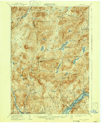
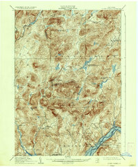
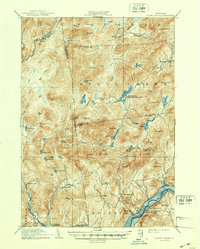
1910 Map of Stony Creek
USGS Topo · Published 1942About this map
Stony Creek and the surrounding Adirondack wilderness appear here in a transition between logging-era settlements and early 20th-century recreation. The landscape is defined by the East Stony Creek and the Sacandaga River, showing a network of small hamlets like Bakertown and Harrisburg that supported local mountain economies. Numerous named camps such as Wadsworth Camp and Olmstead Camp are peppered throughout the high country, reflecting the region's growing role as a destination for seasonal visitors.
Find a feature on this map
75 named features on this map. Tap any name to fly to it.
Don’t see what you’re looking for? This feature index may not catch every label — zoom into the map to look around manually.
Map Details
Editions of this 1910 Stony Creek Map
7 editions found

Other maps of this area

1895 · North Creek
USGS Topo · 1:62,500

1897 · North Creek
USGS Topo · 1:62,500

1898 · Thirteenth Lake
USGS Topo · 1:62,500

1899 · Indian Lake
USGS Topo · 1:62,500

1899 · Broadalbin
USGS Topo · 1:62,500

1902 · Broadalbin
USGS Topo · 1:62,500

1902 · Saratoga
USGS Topo · 1:62,500

1902 · Indian Lake
USGS Topo · 1:62,500

1903 · Luzerne
USGS Topo · 1:62,500

1903 · Gloversville
USGS Topo · 1:62,500