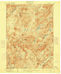
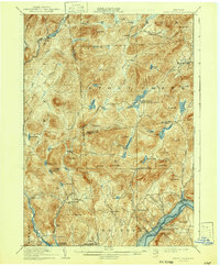
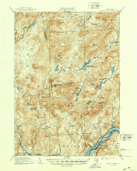
1910 Map of Stony Creek
USGS Topo · Published 1915About this map
The Sacandaga River and its southern tributaries wind through this turn-of-the-century landscape, which is marked by a complex network of township and county boundaries including Hamilton, Warren, and Saratoga counties. Smaller settlements and specialized camps such as Bakertown, Hope Falls, and Wadsworth Camp are connected by a series of primitive roads, including the notable Oregon Trail cutting across the northern heights.
Find a feature on this map
75 named features on this map. Tap any name to fly to it.
Don’t see what you’re looking for? This feature index may not catch every label — zoom into the map to look around manually.
Map Details
Editions of this 1910 Stony Creek Map
7 editions found

Other maps of this area

1895 · North Creek
USGS Topo · 1:62,500

1897 · North Creek
USGS Topo · 1:62,500

1898 · Thirteenth Lake
USGS Topo · 1:62,500

1899 · Indian Lake
USGS Topo · 1:62,500

1899 · Broadalbin
USGS Topo · 1:62,500

1902 · Broadalbin
USGS Topo · 1:62,500

1902 · Saratoga
USGS Topo · 1:62,500

1902 · Indian Lake
USGS Topo · 1:62,500

1903 · Luzerne
USGS Topo · 1:62,500

1903 · Gloversville
USGS Topo · 1:62,500