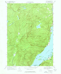
1966 Map of Silver Bay
USGS Topo · Published 1977About this map
The western shores of Lake George define this mid-1960s survey, illustrating a landscape where steep ridges meet the water at points like Sabbath Day Point and Deer Leap. Within the Adirondack State Park, the terrain is dominated by the Tongue Mountain Range and numerous summits such as Swede Mtn, which provided a critical vantage point for forest fire detection. The map records established lakeside communities at Hague, Silver Bay, and Huletts Landing, the latter situated across the water on the eastern shore near the Mother Bunch Islands.
Find a feature on this map
67 named features on this map. Tap any name to fly to it.
Don’t see what you’re looking for? This feature index may not catch every label — zoom into the map to look around manually.
Map Details
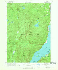
Editions of this 1966 Silver Bay Map
2 editions found
Other maps of this area

1893 · Whitehall
USGS Topo · 1:62,500

1894 · Ticonderoga
USGS Topo · 1:62,500

1895 · Whitehall
USGS Topo · 1:62,500

1895 · Paradox Lake
USGS Topo · 1:62,500

1896 · Ticonderoga
USGS Topo · 1:62,500

1897 · Bolton
USGS Topo · 1:62,500

1897 · Paradox Lake
USGS Topo · 1:62,500

1898 · Whitehall
USGS Topo · 1:62,500

1900 · Bolton
USGS Topo · 1:62,500

1902 · Whitehall
USGS Topo · 1:62,500