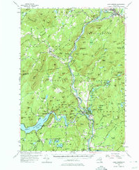
1955 Map of Lake Luzerne
USGS Topo · Published 1975About this map
Warrensburg and Lake Luzerne serve as the primary hubs in this mid-century survey of the southeastern Adirondacks. The confluence of the Hudson River and the Schroon River anchors the geography, while the Delaware and Hudson RR follows the water's edge, passing through Thurman Sta. To the southwest, the massive Great Sacandaga Lake is shown with its Spillway near Conklingville, reflecting the regulated water systems of the era.
Find a feature on this map
159 named features on this map. Tap any name to fly to it.
Don’t see what you’re looking for? This feature index may not catch every label — zoom into the map to look around manually.
Map Details
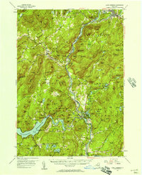
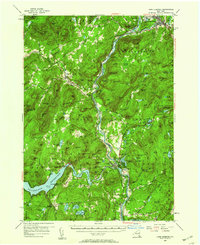
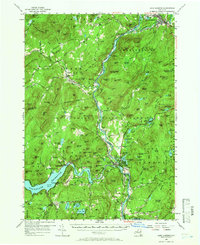
Editions of this 1955 Lake Luzerne Map
4 editions found
Other maps of this area

1895 · North Creek
USGS Topo · 1:62,500

1895 · Glens Falls
USGS Topo · 1:62,500

1897 · Bolton
USGS Topo · 1:62,500

1897 · Glens Falls
USGS Topo · 1:62,500

1897 · North Creek
USGS Topo · 1:62,500

1898 · Thirteenth Lake
USGS Topo · 1:62,500

1899 · Broadalbin
USGS Topo · 1:62,500

1900 · Bolton
USGS Topo · 1:62,500

1900 · Schuylerville
USGS Topo · 1:62,500

1902 · Broadalbin
USGS Topo · 1:62,500