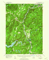
1955 Map of Lake Luzerne
USGS Topo · Published 1960About this map
The Hudson River and Sacandaga River converge in this mid-century portrait of the southeastern Adirondacks, where the Sacandaga Reservoir dominates the southwest corner behind the spillway at Conklingville. The landscape is defined by the heavy timber and high peaks of Adirondack State Park, with logging and summer recreation clearly established in the settlements of Lake Luzerne and Warrensburg. The Delaware and Hudson railroad tracks follow the river's path, serving mountain communities like Stony Creek and Hadley. Local geography is intricately detailed with dozens of named peaks such as Wolf Pond Mtn and Potash Mtn, while small hamlets like Allentown and Lynnwood provide glimpses into mid-century rural residency. Industrial activity is noted at a quarry near Warrensburg, alongside community hubs like the fair grounds further south.
Find a feature on this map
137 named features on this map. Tap any name to fly to it.
Don’t see what you’re looking for? This feature index may not catch every label — zoom into the map to look around manually.
Map Details
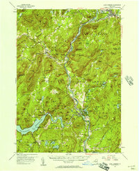
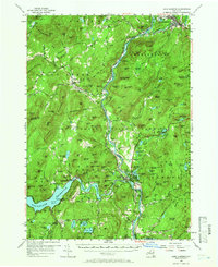
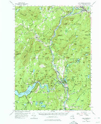
Editions of this 1955 Lake Luzerne Map
4 editions found
Other maps of this area

1895 · North Creek
USGS Topo · 1:62,500

1895 · Glens Falls
USGS Topo · 1:62,500

1897 · Bolton
USGS Topo · 1:62,500

1897 · Glens Falls
USGS Topo · 1:62,500

1897 · North Creek
USGS Topo · 1:62,500

1898 · Thirteenth Lake
USGS Topo · 1:62,500

1899 · Broadalbin
USGS Topo · 1:62,500

1900 · Bolton
USGS Topo · 1:62,500

1900 · Schuylerville
USGS Topo · 1:62,500

1902 · Broadalbin
USGS Topo · 1:62,500