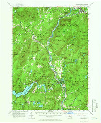
1955 Map of Lake Luzerne
USGS Topo · Published 1966About this map
The Sacandaga River and Hudson River converge at the heart of this mid-century survey, a landscape defined by the rugged topography of the Adirondack State Park. To the west, the Sacandaga Reservoir dominates the terrain, held back by the Conklingville Dam near the small community of Conklingville. This era captures a transition from traditional river-and-rail industry to a seasonal recreation economy, as evidenced by the Delaware and Hudson railroad line snaking along the Hudson, passing through Stony Creek Station and Warrensburg. Local life is anchored by established settlements like Lake Luzerne and Athol, while dozens of family-named peaks such as Wegley Mountain and Thomas Mountain rise above numerous brooks and ponds. The presence of several schools, churches, and the Caldwell Cemetery provides significant points of interest for those researching the early residents of Warren and Saratoga counties.
Find a feature on this map
169 named features on this map. Tap any name to fly to it.
Don’t see what you’re looking for? This feature index may not catch every label — zoom into the map to look around manually.
Map Details
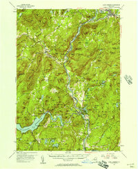
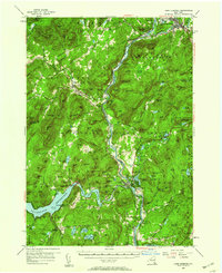
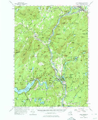
Editions of this 1955 Lake Luzerne Map
4 editions found
Other maps of this area

1895 · North Creek
USGS Topo · 1:62,500

1895 · Glens Falls
USGS Topo · 1:62,500

1897 · Bolton
USGS Topo · 1:62,500

1897 · Glens Falls
USGS Topo · 1:62,500

1897 · North Creek
USGS Topo · 1:62,500

1898 · Thirteenth Lake
USGS Topo · 1:62,500

1899 · Broadalbin
USGS Topo · 1:62,500

1900 · Bolton
USGS Topo · 1:62,500

1900 · Schuylerville
USGS Topo · 1:62,500

1902 · Broadalbin
USGS Topo · 1:62,500