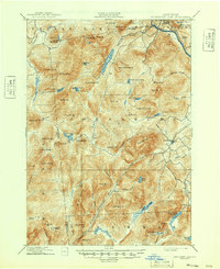
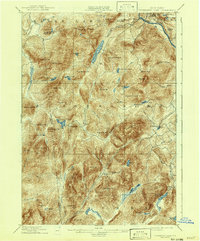
1898 Map of Thirteenth Lake
USGS Topo · Published 1949About this map
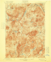
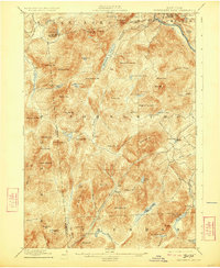
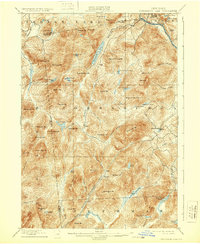
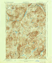
Bakers Mills serves as a primary settlement hub in this late nineteenth-century portrait of the Adirondack high country, situated where Kibby Creek meets the rugged slopes of Eleventh Mt.. The landscape is defined by massive peaks and glacial water bodies, with the Hudson River cutting across the northeastern corner near the Minerva and Chester boundary lines. Early industrial activity is evidenced by Moores Mine on the eastern flank of Gore Mt., one of the most prominent elevations in the Johnsburg region.
Find a feature on this map
79 named features on this map. Tap any name to fly to it.
Don’t see what you’re looking for? This feature index may not catch every label — zoom into the map to look around manually.
Map Details
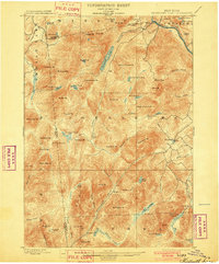
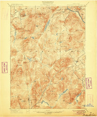
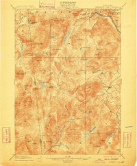
Editions of this 1898 Thirteenth Lake Map
10 editions found
Other maps of this area

1895 · North Creek
USGS Topo · 1:62,500

1897 · North Creek
USGS Topo · 1:62,500

1897 · Schroon Lake
USGS Topo · 1:62,500

1898 · Newcomb
USGS Topo · 1:62,500

1898 · Thirteenth Lake
USGS Topo · 1:62,500

1899 · Indian Lake
USGS Topo · 1:62,500

1901 · Newcomb
USGS Topo · 1:62,500

1902 · Indian Lake
USGS Topo · 1:62,500

1903 · Luzerne
USGS Topo · 1:62,500

1903 · Blue Mountain
USGS Topo · 1:62,500